Download Agreement, Release, and Acknowledgement of Risk:
You (the person requesting this file download) fully understand mountain climbing ("Activity") involves risks and dangers of serious bodily injury, including permanent disability, paralysis, and death ("Risks") and you fully accept and assume all such risks and all responsibility for losses, costs, and damages you incur as a result of your participation in this Activity.
You acknowledge that information in the file you have chosen to download may not be accurate and may contain errors. You agree to assume all risks when using this information and agree to release and discharge 14ers.com, 14ers Inc. and the author(s) of such information (collectively, the "Released Parties").
You hereby discharge the Released Parties from all damages, actions, claims and liabilities of any nature, specifically including, but not limited to, damages, actions, claims and liabilities arising from or related to the negligence of the Released Parties. You further agree to indemnify, hold harmless and defend 14ers.com, 14ers Inc. and each of the other Released Parties from and against any loss, damage, liability and expense, including costs and attorney fees, incurred by 14ers.com, 14ers Inc. or any of the other Released Parties as a result of you using information provided on the 14ers.com or 14ers Inc. websites.
You have read this agreement, fully understand its terms and intend it to be a complete and unconditional release of all liability to the greatest extent allowed by law and agree that if any portion of this agreement is held to be invalid the balance, notwithstanding, shall continue in full force and effect.
By clicking "OK" you agree to these terms. If you DO NOT agree, click "Cancel"...
Bison Peak is the definition of a destination hike. It's over 12 miles, almost 4000 vertical and 80 percent is in the trees. It's also dry most of the way, but very worthwhile. Take lots of water.
Caption Here
The th is Ute Creek th located on county road 77. 77 runs between Jefferson on 285 and ends on highway 24, south by Colorado springs.
Caption Here
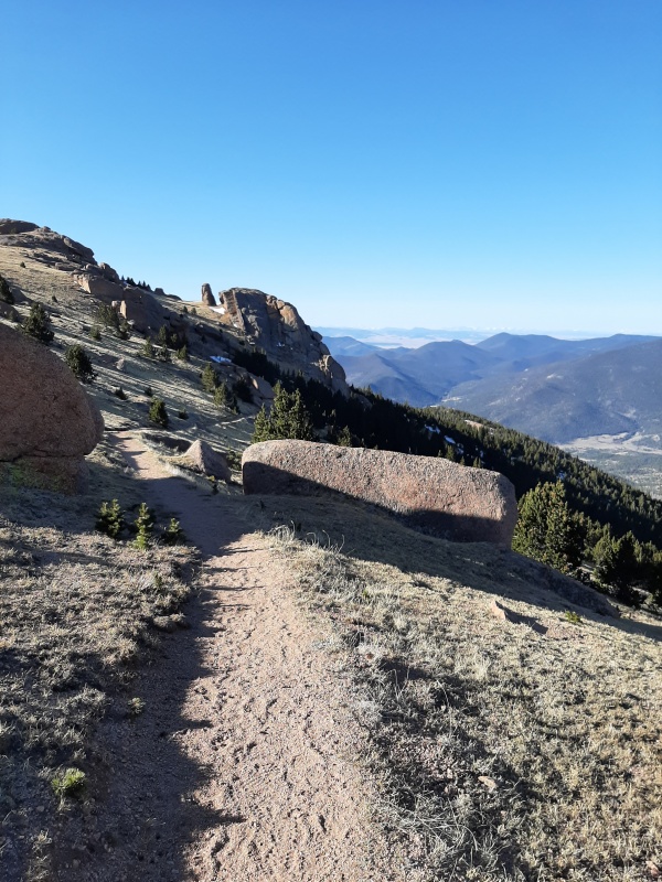
There are many other fun attractions along 77. I started at 520, didn't see anyone until well on my way down. It was just light enough then I didn't need my headlamp.The uphill through the trees was just like I remember, long and boring. After about 2 hours the trail leveled off at the sign intersection. Here was the first bit of snow on the trail. It was easy to manage.
Caption Here
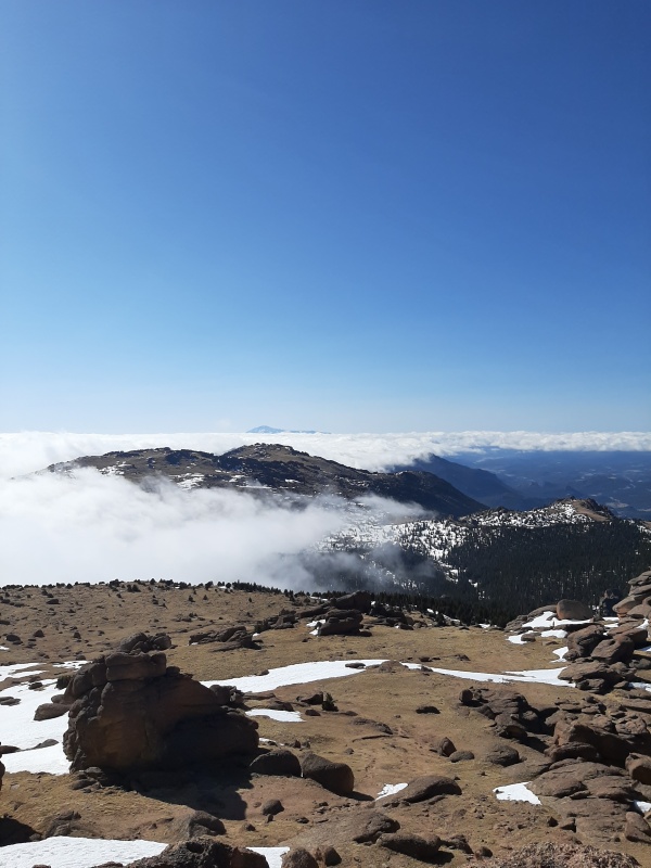
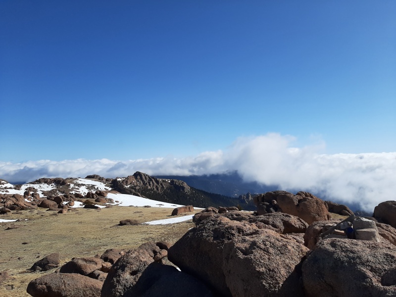
Turn right at the sign to go up bison. The other trail loops around.Once above treeline I could see clouds to the east, and clear skies to the west. Bison is on the left, and mccurdy moutain is on the right with pikes peak in the distance. After 3 and a half hours I was on the summit. Someone had a new registry there. I signed it and chilled around the summit for about a hour before heading down.
Caption Here
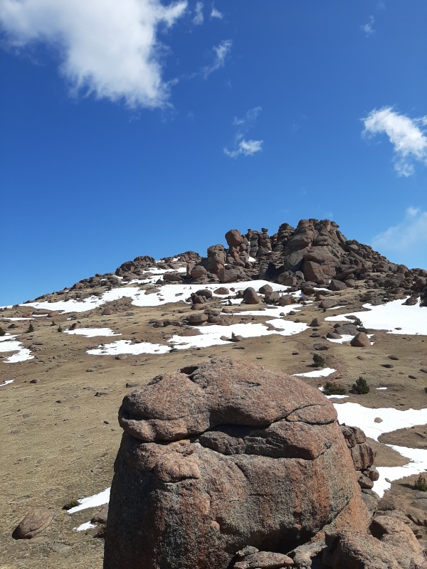
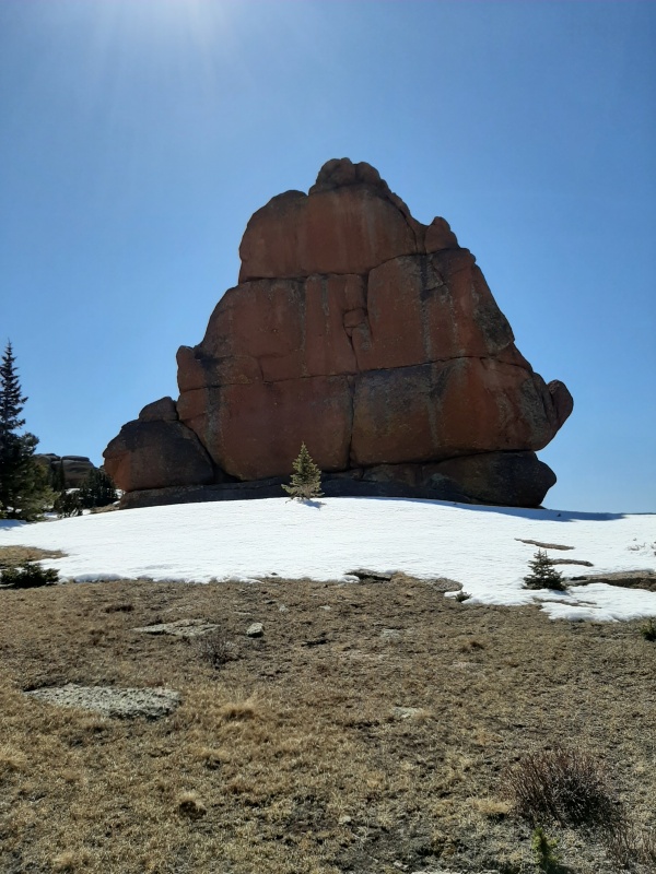
A little rock climbing here and there too. Then I saw people, about 40 or more, everyone keeping social distance and having a good time. Back to my car at 1210, and back to my house at 1 with bison in the distance. Towards the end is one of the monolith. Was a chilly morning but it warmed up nice. Where I live i see bison and mccurdy to the east. I try to climb them a couple times each year. Thanks for reading ð ps update, snow looks to be melted out this last week.
Caption Here
Thumbnails for uploaded photos (click to open slideshow):
Comments or Questions
Caution: The information contained in this report may not be accurate and should not be the only resource used in preparation for your climb. Failure to have the necessary experience, physical conditioning, supplies or equipment can result in injury or death. 14ers.com and the author(s) of this report provide no warranties, either express or implied, that the information provided is accurate or reliable. By using the information provided, you agree to indemnify and hold harmless 14ers.com and the report author(s) with respect to any claims and demands against them, including any attorney fees and expenses. Please read the 14ers.com Safety and Disclaimer pages for more information.
Please respect private property: 14ers.com supports the rights of private landowners to determine how and by whom their land will be used. In Colorado, it is your responsibility to determine if land is private and to obtain the appropriate permission before entering the property.
")
")
")
")
")
")
")
")
")
")
")
")
")
")
")
")
")
")
")
")
")
")

