| Report Type | Full |
| Peak(s) |
Unnamed 13385 - 13,385 feet Mt. Harvard - 14,424 feet Unnamed 13570 - 13,570 feet |
| Date Posted | 06/30/2020 |
| Date Climbed | 06/07/2020 |
| Author | supranihilest |
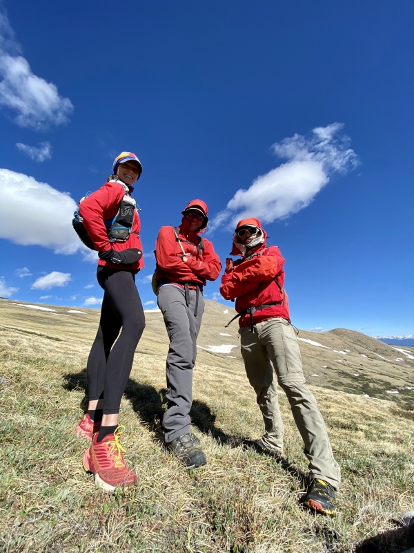
| Additional Members | Garrett, MWatson, whileyh |
| Harvey Junior, Harvard, and Harvster III | |||||||||||||||||||||||||||||||||||
|---|---|---|---|---|---|---|---|---|---|---|---|---|---|---|---|---|---|---|---|---|---|---|---|---|---|---|---|---|---|---|---|---|---|---|---|
|
This year I've gotten intimately familiar with Frenchman Creek on the east side of Mount Harvard and Mount Columbia. Between winter climbs of Harvard in mid-January followed a week later by an ascent of Columbia, both via Frenchman Creek, I've spent more time there than any sane person should. I clearly hadn't had enough though, having not gotten the two thirteeners near Harvard - Point 13,374 (Harvey Junior) to the east and Point 13,580 C (Harvster III) off of Harvard's southwest ridge - so I designed a one-way route starting at Frenchman and ending at North Cottonwood that would bag all three peaks. Since these thirteeners were among the only southern Sawatch thirteeners that none of us (myself, Garrett, Marisa, and Whiley) had climbed yet we decided to make a day of it. The kicker on this one was that we knew next to nothing about soft ranked Point 13,580 C. There's a Class 2 route described in Gerry Roach's Colorado's Thirteeners: From Hikes to Climbs, from the floor of the basin, but we all wanted to take the ridge direct because it's, well, direct, and also has absolutely no information anywhere except the guidebook. There's something exciting about the unknown. The weather was predicted to be exceptionally windy - 15-30 miles per hour, with gusts up to 50 miles per hour - but we figured we'd go for it and reassess as we went along. What we didn't know was that the Frenchman Creek Road is closed from December 1 through June 30th, which would add 3.25 miles and 1,700 vertical feet on our one way ascent. Not a ton, certainly, but not nothing either, especially on an already big day when we knew next to nothing about our third peak, soft ranked 13,580 C. If nothing else we knew we could get 13,374, judge wind there for the rest of the day (since there would be less opportunity to retreat if we continued after), do Harvard, and add 13,580 C even if it meant doing it via Roach's way. We were on the move at around 6:15am and it was quite nice below treeline. 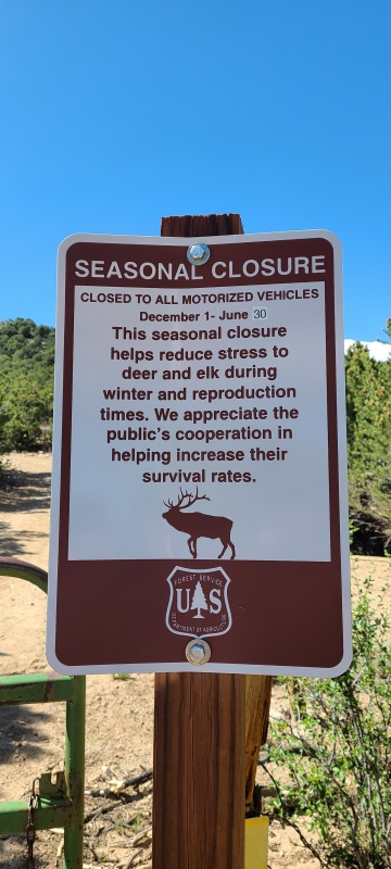
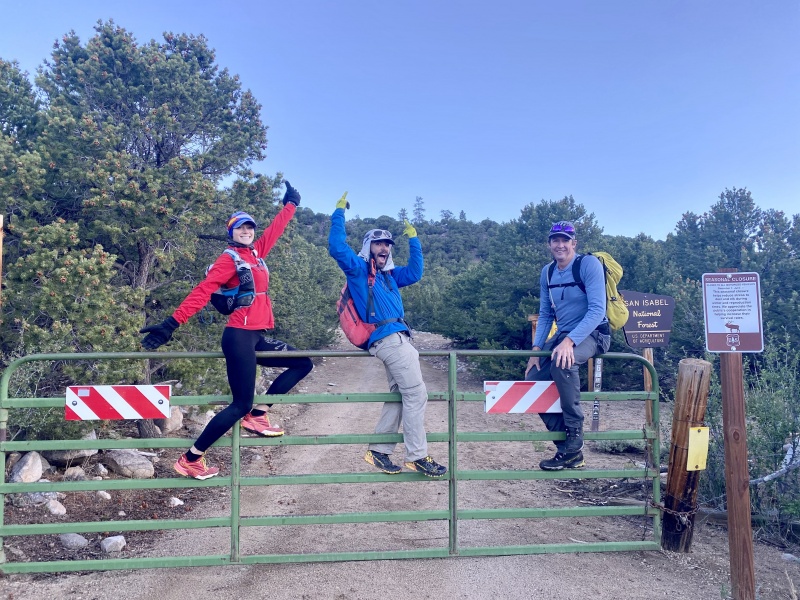
Despite going up and down this road twice before I had no idea what it was actually like; snow cover, snowshoes, and heavy winter packs change everything. When dry the road's not bad and we made quick time up the 3.25 miles to the upper trailhead, where the road ends and trail begins. 
Along the way we'd gotten some views of what we thought was 13,374 far in the distance. 
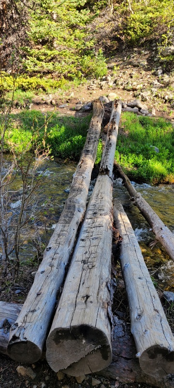
We crossed Frenchman Creek first on a good and familiar log bridge prior to the Colorado Trail, then hopped on the Colorado Trail north for a short distance to another creek crossing on a damaged bridge. 
Once past the second creek crossing the trail began to drop, which we obviously didn't want to do. 13,374's east ridge is massive and wide, so we simply left the trail and began to hike steeply up the wooded hillside. At treeline we stopped to put on our wind shells, as we could hear things howling just ahead. 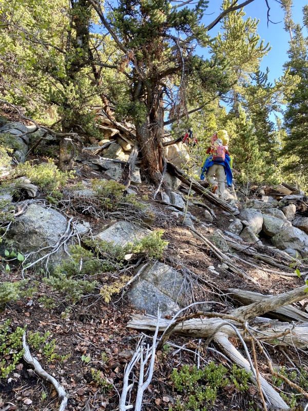
At treeline was a grove of both living and ancient, petrified bristlecone pine. 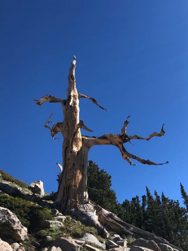

Across Frenchman Creek drainage Columbia's east ridge, which Whiley and I had climbed for our snowflake, stood proud. 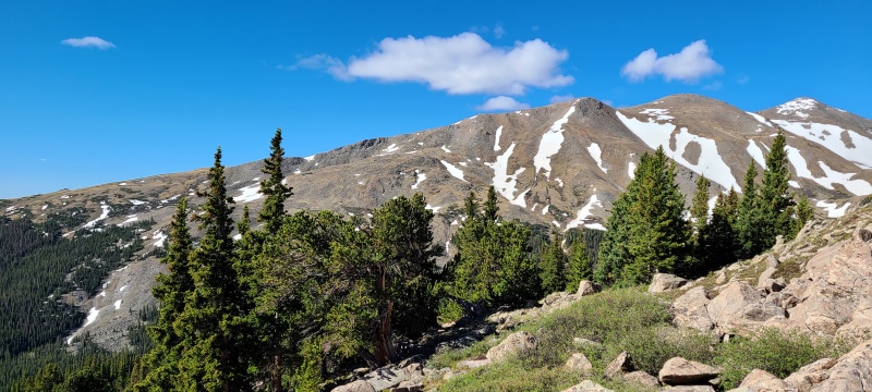
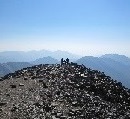
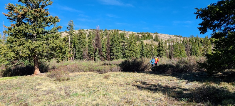
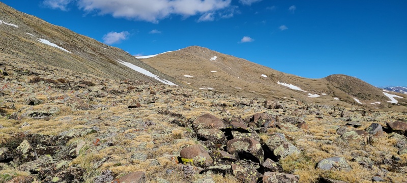
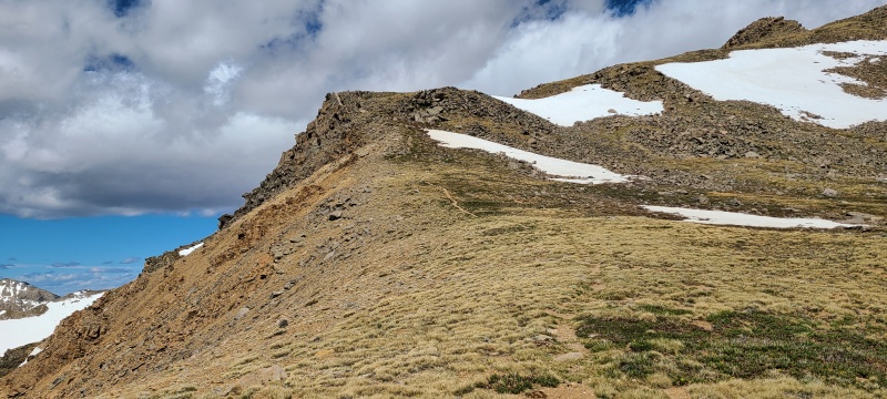
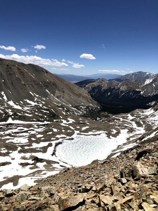
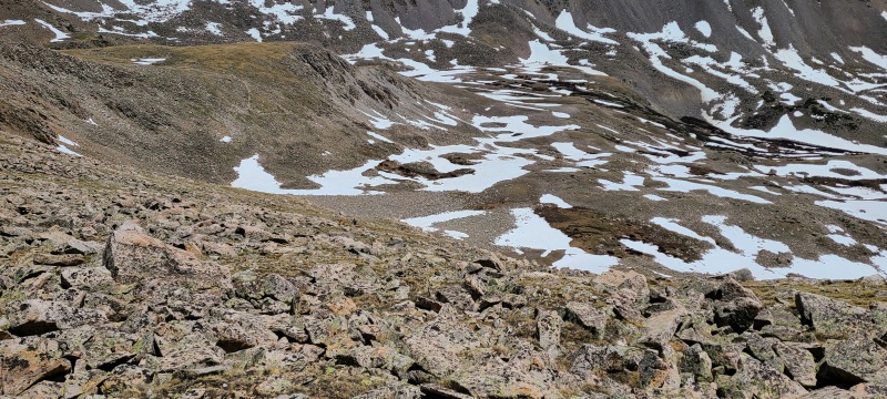
The route above treeline became easier, a moderate tundra and boulder hop around the false summit and into an open meadow to the true summit. 
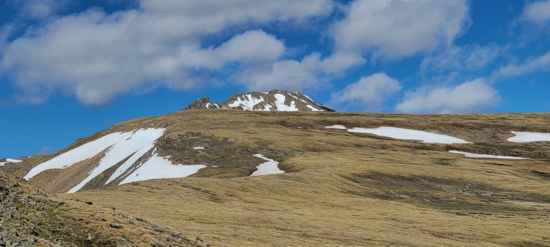

There was some wet, soggy ground along the way to the summit, and one snow field we could avoid; the last 100 or so feet were rocky, but easy, and we were on top. 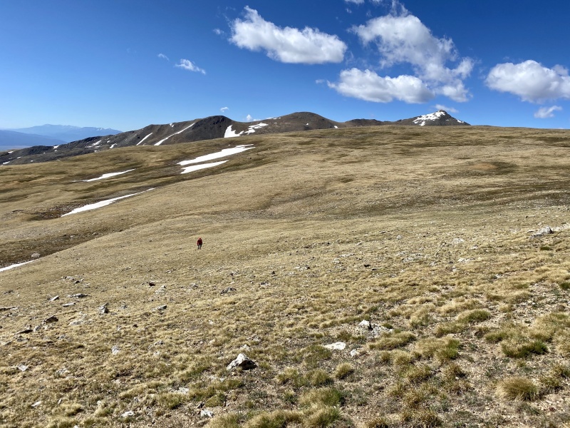

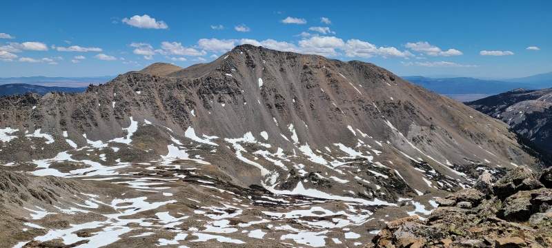
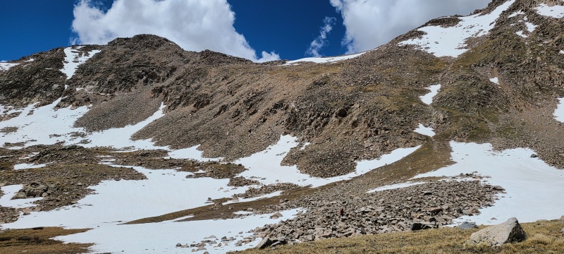
We had to make a decision here: was the wind too high to continue? No, not really. Irritating and cold, surely, but not a show stopper. We did have a ton of ground to cover though, including a peak we knew nothing about. We talked for a minute or so and agreed to go on since there were bail spots along the way, if needed. We'd also try and shorten the route by dropping into Horn Fork Basin prior to Harvard, since we all had done Harvard before. From the summit of 13,374 the ridge near the saddle with Harvard looked like it might contain some scrambling. We couldn't tell from where we were so we had no choice but to give it a try. It ended up not being as bad as it looked from a distance, just grassy, boulder-strewn Class 2. 
We crossed the ridge then made our way all the way across the upper slopes to the ridge with Columbia. Garrett inspected several options to descend directly into Horn Fork, and while they looked like they might go they also looked steep, incredibly rotten, and we couldn't see if there were cliffs at the bottom. Our hand was forced to go up and over Harvard, which I was personally happy about. The scrambling on my winter ascent was tons of fun and I knew this would be no different. 
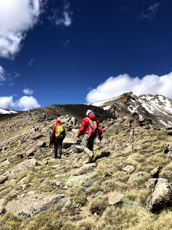
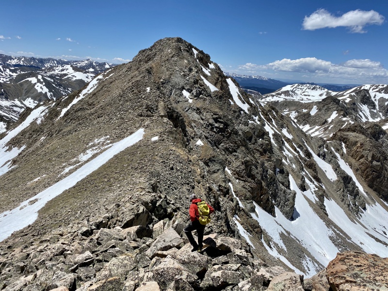
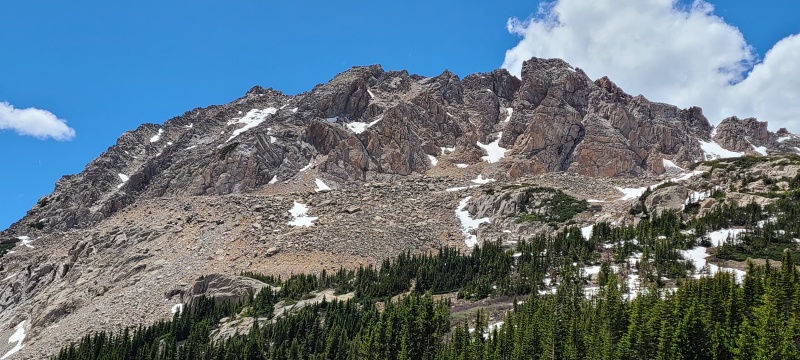
The east ridge of Harvard is pretty rough, with several bumps and notches, and is rife with opportunities for scrambling on excellent, sticky granite. The ridge goes at Class 2+ with careful route finding, but as I found out in winter there's some Class 3 and Class 4 one can get into in there if the hankering is strong enough. I won't describe the ridge in detail, but I will say it's a ton of fun. I'd highly recommend the east ridge route for those who want an exciting alternative and some solitude from the hordes in Horn Fork. 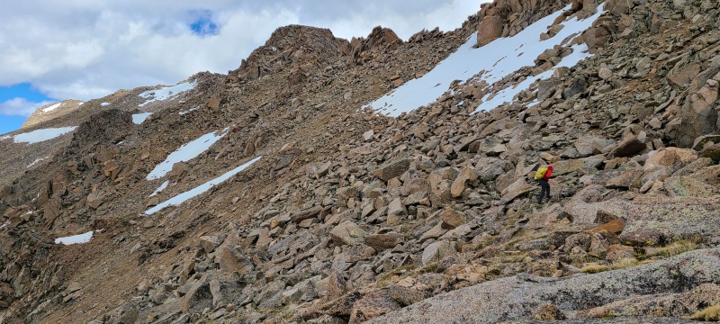


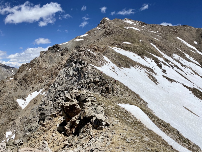
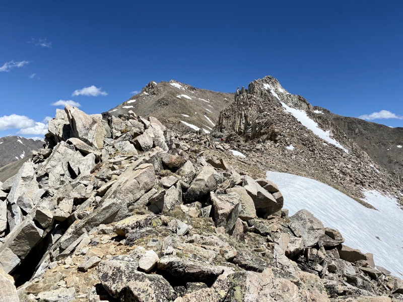
Almost exactly an hour and a half after leaving 13,374 we reached the summit of Harvard. Time to take the leap into the unknown with 13,580 C! We hung out and discussed the plan. Winds had died down on Harvard's summit so we felt comfortable staying high on our way to 13,580 C. The ridge looked easy at first, then likely to have some scrambling. There were two points and we couldn't tell which was the higher of the two, just that things got significantly steeper and rockier near the first. 
We spent about fifteen minutes on Harvard then scrambled down the glorious upper slabs. I was thrilled to do these again, since it had been about four years since I'd been in Horn Fork! 

The ridge began as expected - grassy slopes and some rocks here and there - before dialing up a bit. 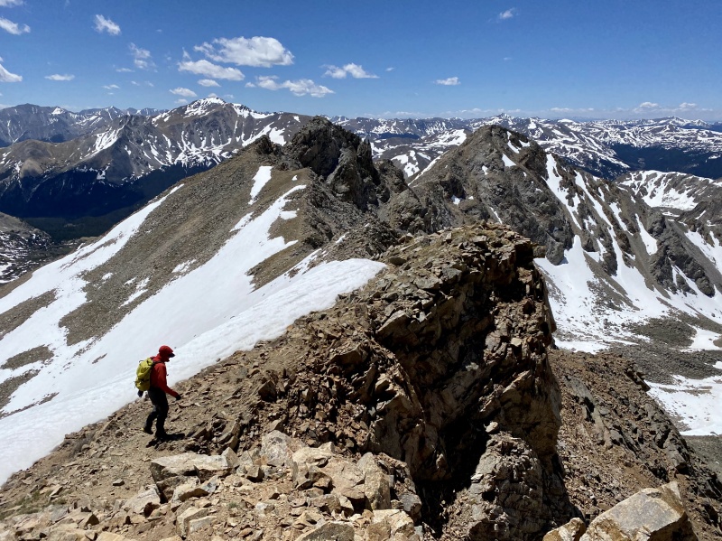
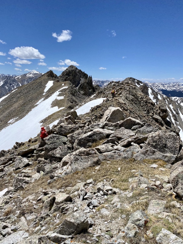
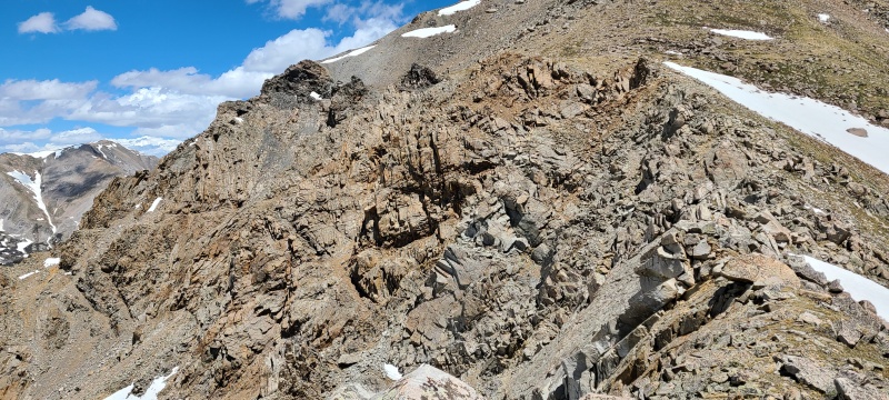
The closer we got to the first of the two major points the more clear it became that this ridge wasn't going to give up easily. 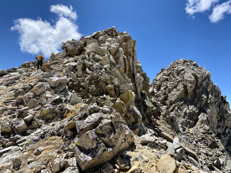
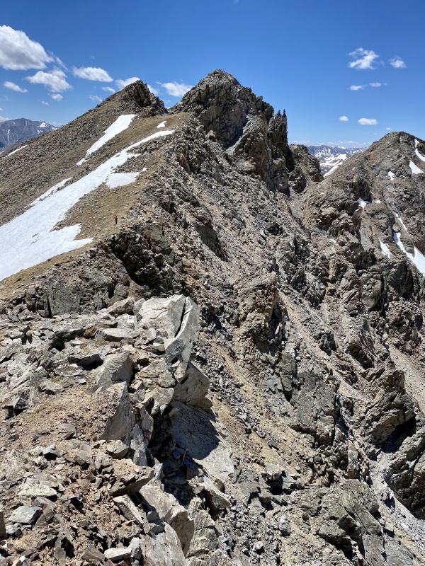
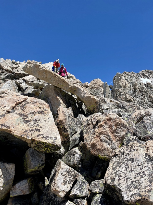
To this point the ridge had been Class 2+, perhaps Easy Class 3 if we just blindly took whatever was directly in front of us. Things would get more difficult from here as we bypassed the first point - it had long become clear that the second was actually the higher of the two. We opted to skip the first's summit despite the easy looking grass ramp to the top, but to get around it we'd have to get our scramble back on. 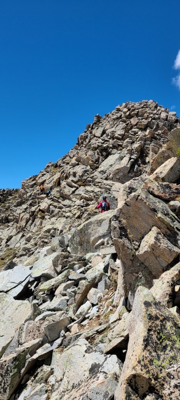
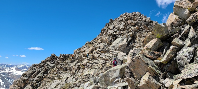
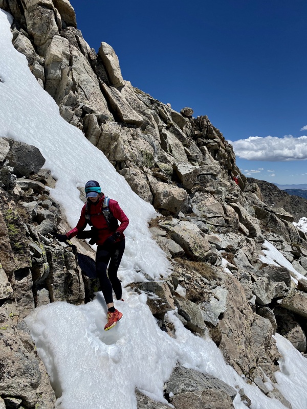
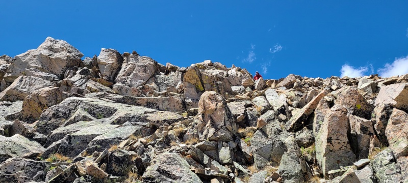
The scrambling around the point went at solid Class 3 with one or two short sections of Class 4 down climbing. As with the rest of the rock in this area it was nice and solid, which was good with the high exposure of the ledges. Rounding around the backside of the point the true summit became obvious, but there was still more scrambling and one hairy, extremely exposed, and thankfully short snow tongue to cross over. 
To finally get back down to the saddle between the two points was a Class 3/Class 4 series of slabs and corners that finally led to Class 2+ or easier terrain. 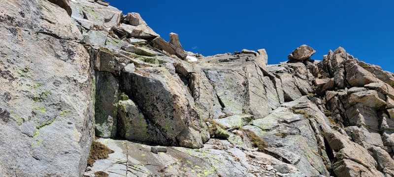


Upon reaching the saddle I had to remark on just how awesome the scrambling was around the point. Of course I did, you don't think I could have resisted, do you? Everyone was in agreement, at least. Stoke was super high that that had been doable and that we only had a little bit of uphill left to get our mystery peak. 
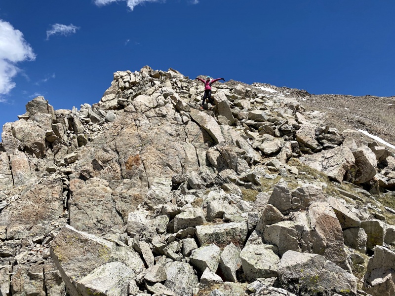
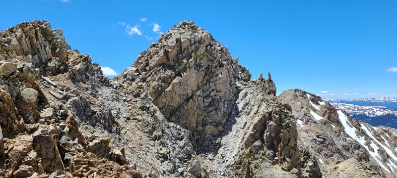
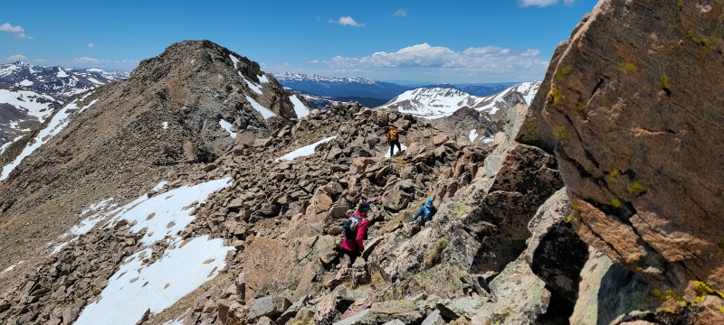
All that was left as far as ascents today was the final summit bump, which looked worse than it actually was. 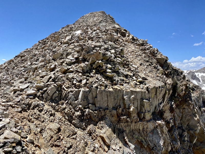
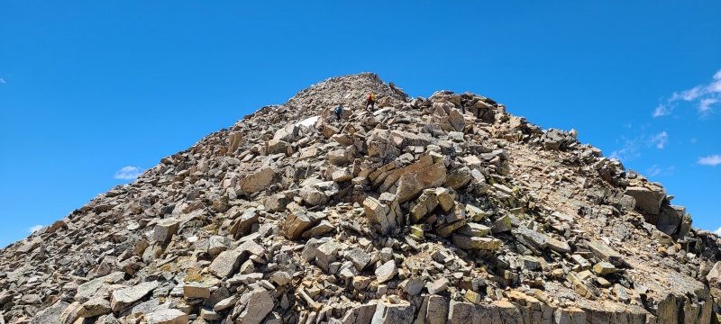
The last few hundred feet up Harvster III went at a loose Class 2+ with opportunities for some Class 3, especially near the top, if desired. 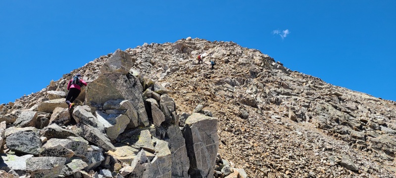
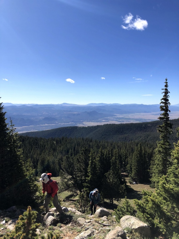
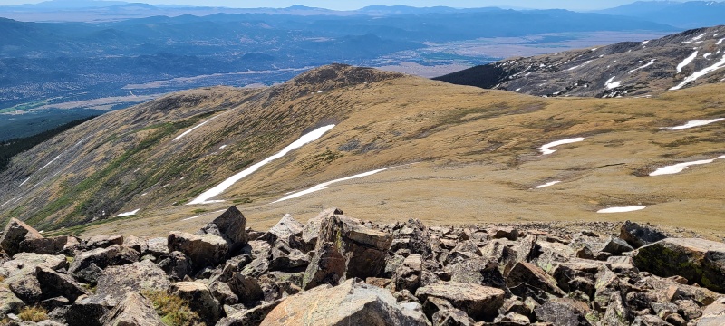
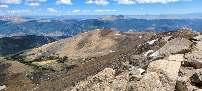
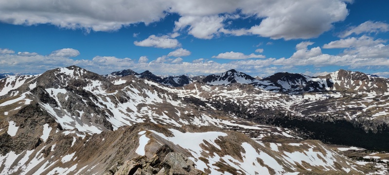
From 13,580 C's summit we had unique views of all of the nearby Sawatch peaks, many of them 14ers. 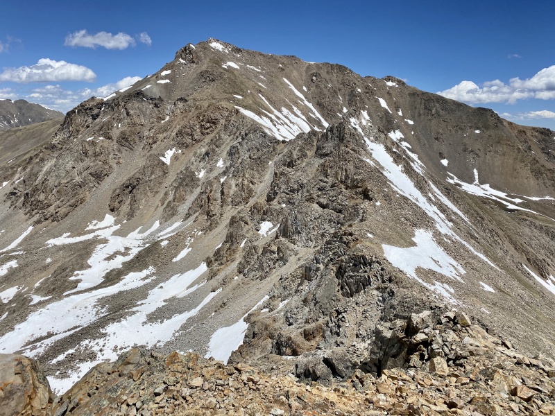

To get down off 13,580 C we descended back down the loose slopes northeast towards grassy ramps that would take us back to the basin. Roach's described route goes south along the ridge but we could already tell this route worked just as well, if not better. Once down several hundred feet the rotten rock gave way back to the typical solid granite of the area. 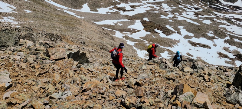
We reached the trail quickly and easily and began the long descent to North Cottonwood Creek Trailhead, which came in at about six miles. 
Along the way we passed some incredible, rugged peaks and ridges, all of which I had forgotten from my one trip up here years ago. 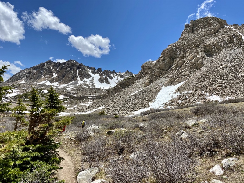
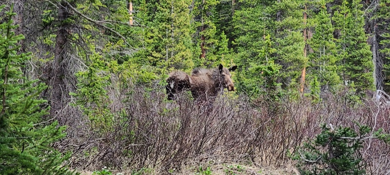
The trail became increasingly wet and snowy as we approached treeline, and postholes abound. Once in the trees the trail once again dried out, and we even had the privilege of a cow moose encounter! 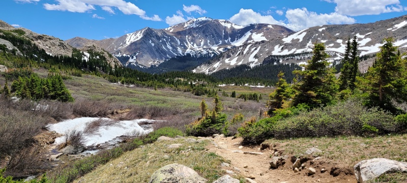
The rest of the hike down to my car was without note, as expected. We drove back over to Frenchman Creek and departed our own separate ways from there. We all agreed that Point 13,580 C was the highlight of the day and was a spectacular scramble on an unfortunately overlooked peak. Unranked or not it was a great addition to the day and one that makes a very worthwhile addition to a trip of Harvard. That Harvard sees hundreds if not thousands of ascents per year and 13,580 C probably sees 10 or less (hell, there are only seventeen members with recorded ascents here on 14ers.com, and three of them are Whiley, Garrett and I) is kind of a bummer. Both peaks are great and if only the latter were a few feet taller, or its saddle a few feet lower, it would reach some magical criteria of "worthiness," but I don't believe an arbitrary number to prove any kind of value at all. There's worth and joy to be found on all summits, big and small. Reaching any high place is always, always a worthy endeavor. 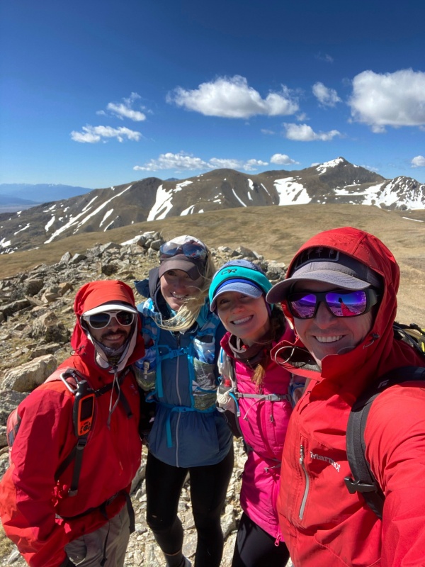
StatisticsClimbers: Ben Feinstein (myself), Whiley H., Marisa W., Garrett M.
Splits:
Thumbnails for uploaded photos (click to open slideshow): ")
")
")
")
")
")
")
")
")
")
")
")
")
")
")
")
")
")
")
")
")
")
")
")
")
")
")
")
")
")
")
")
")
")
")
")
")
")
")
")
")
")
")
")
")
")
")
")
")
")
")
")
")
")
")
")
")
")
")
")
")
")
")
")
")
")
")
")
")
|
| Comments or Questions | ||||||
|---|---|---|---|---|---|---|
|
Caution: The information contained in this report may not be accurate and should not be the only resource used in preparation for your climb. Failure to have the necessary experience, physical conditioning, supplies or equipment can result in injury or death. 14ers.com and the author(s) of this report provide no warranties, either express or implied, that the information provided is accurate or reliable. By using the information provided, you agree to indemnify and hold harmless 14ers.com and the report author(s) with respect to any claims and demands against them, including any attorney fees and expenses. Please read the 14ers.com Safety and Disclaimer pages for more information.
Please respect private property: 14ers.com supports the rights of private landowners to determine how and by whom their land will be used. In Colorado, it is your responsibility to determine if land is private and to obtain the appropriate permission before entering the property.