Download Agreement, Release, and Acknowledgement of Risk:
You (the person requesting this file download) fully understand mountain climbing ("Activity") involves risks and dangers of serious bodily injury, including permanent disability, paralysis, and death ("Risks") and you fully accept and assume all such risks and all responsibility for losses, costs, and damages you incur as a result of your participation in this Activity.
You acknowledge that information in the file you have chosen to download may not be accurate and may contain errors. You agree to assume all risks when using this information and agree to release and discharge 14ers.com, 14ers Inc. and the author(s) of such information (collectively, the "Released Parties").
You hereby discharge the Released Parties from all damages, actions, claims and liabilities of any nature, specifically including, but not limited to, damages, actions, claims and liabilities arising from or related to the negligence of the Released Parties. You further agree to indemnify, hold harmless and defend 14ers.com, 14ers Inc. and each of the other Released Parties from and against any loss, damage, liability and expense, including costs and attorney fees, incurred by 14ers.com, 14ers Inc. or any of the other Released Parties as a result of you using information provided on the 14ers.com or 14ers Inc. websites.
You have read this agreement, fully understand its terms and intend it to be a complete and unconditional release of all liability to the greatest extent allowed by law and agree that if any portion of this agreement is held to be invalid the balance, notwithstanding, shall continue in full force and effect.
By clicking "OK" you agree to these terms. If you DO NOT agree, click "Cancel"...
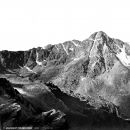
Ascent Route: WSW Ridge, class 4 (3 minimum) - Potential new route
Descent Route: West Ridge, class 2 talus
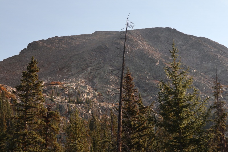
When I hiked Gold Dust Peak a couple years ago, I had meant to do the class 4 traverse, but decided against it (https://www.14ers.com/php14ers/tripreport.php?trip=17444). I went up to Mystic Island Lake to get a view of the route on Pika, and I was not enthused about all the talus and cliffs.
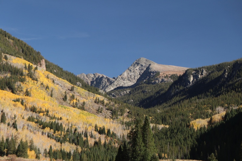
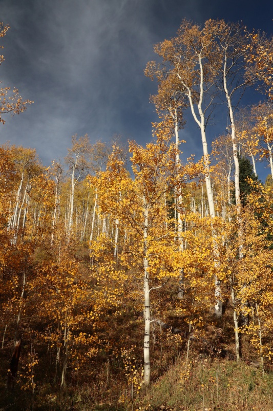
So I hoped that the fall colors would help offset this talus. Little did I know that I would find a more fun route up this peak!
I drove up the day before to find my campsite from the previous trip still open. It's the only legal site along the route before the Fulford campsite (which is closed for the season). Had a forest visitor as I was eating my grilled dinner.
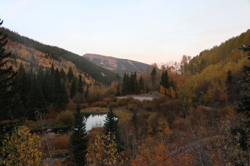
Fools Gold
Campsite Gold
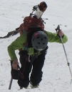
Hello there!
I got up to the TH as the light was starting to spread before sunrise. A chilly fall morning.
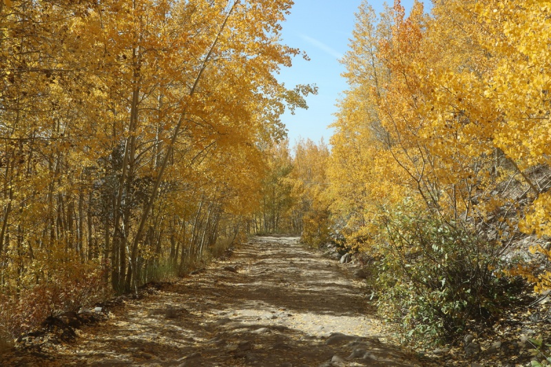
Trailhead gold
The trail up to Lake Charles is in the trees, and the aspen gold ends quickly, so I was able to make fast time. Only a short photo stop from here to there.
Frozen pond
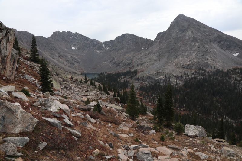
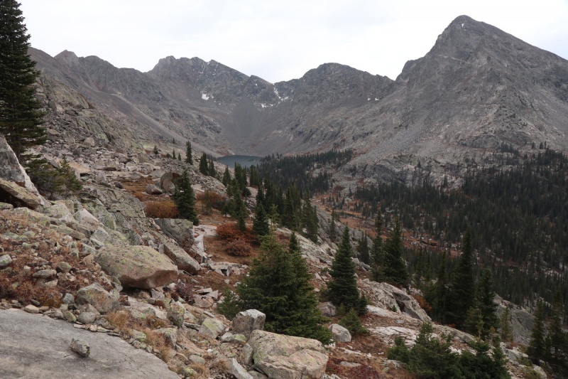
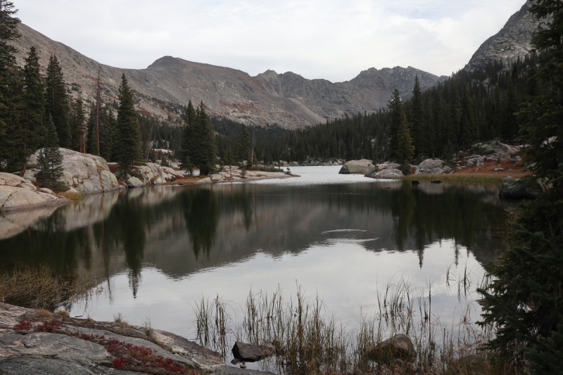
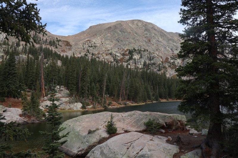
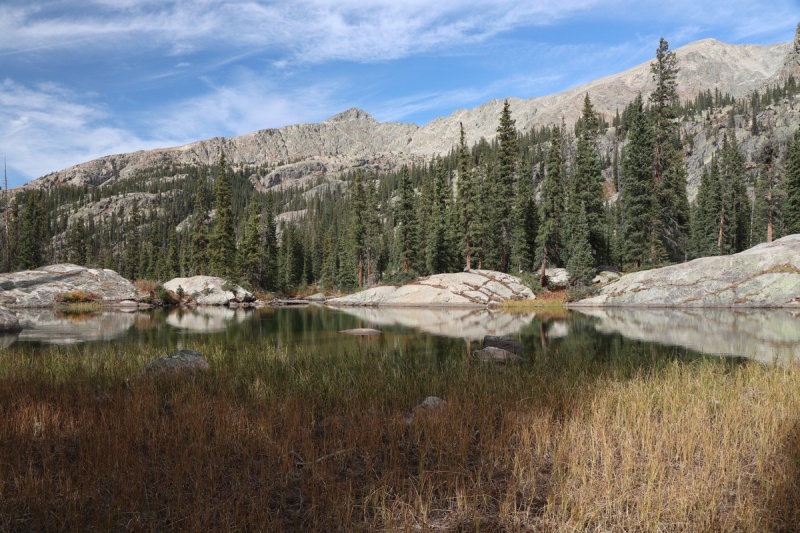
I got up to the lake and got the first view of Pika peak from the trail.
Pika from the trail
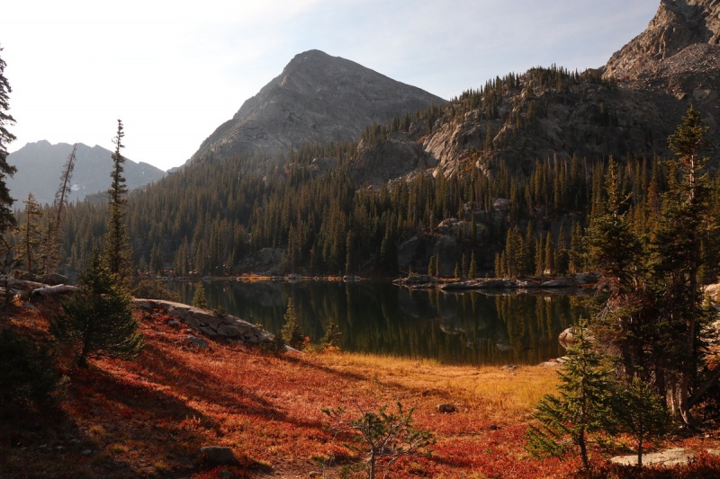
Red by Lake CharlesFools reflection
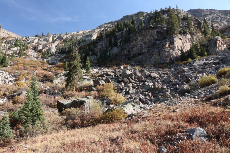
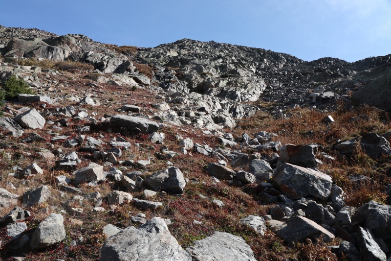
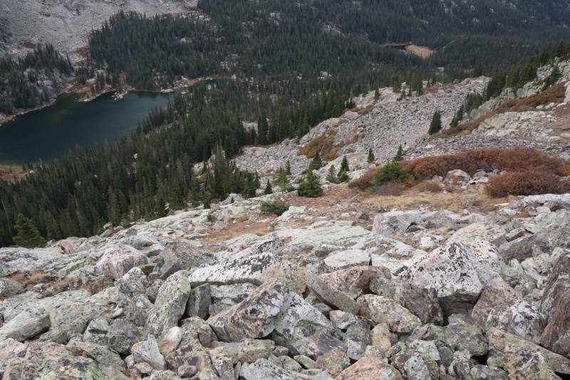
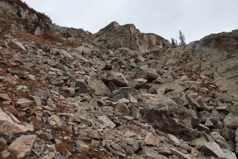
I turned uphill after the marshy muddy trail section on a trail to a campsite, and then followed a game trail further uphill. When I exited the trees, I was faced with a left or right turn as I was had a cliff directly in front of me.
Left view of cliff blocksRight option
From this vantage point, you can't see the gray blocky talus that goes down the west ridge, as it's hidden behind the cliff bands. The line to the right called to me, as I could see a way up that looked good. I followed the talus gully, sticking next to the cliff bands. I had planned to go to the meeting of the talus gully to the ridge at the horizon line on the above photo. But I turned up the scramble cliff bands early to the left.
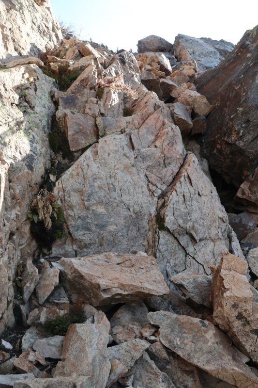
You can keep this lower section class 2, but I stayed closer to the cliff face, and had some easy blocky scrambling to start.
Easy scramble section
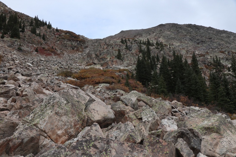
Once above that quick scramble, the terrain eased and was talus with grass for a bit.
Looking downLooking up
The ascent got grassier still for a little bit and soon I was presented with some nice scrambling on the left, which I decided to take.
Before the scramble ridgeLooking down the gully
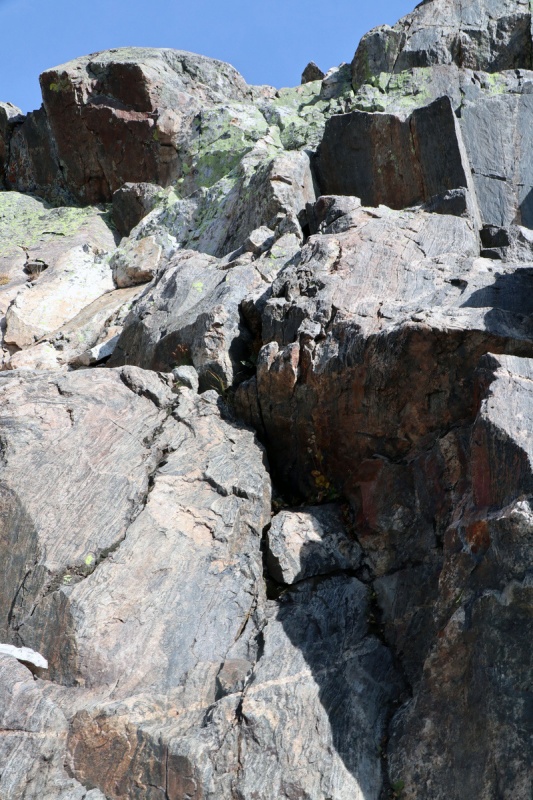
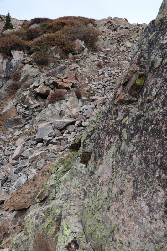
When I got enticed by the solid cliff scrambling to my left, I could tell that above the cliff bands, I could always go back to the talus gully, if I wanted. So I decided to spice it up and have more fun!
First solid class 4 cliff band
Terrain can always exit right to talus
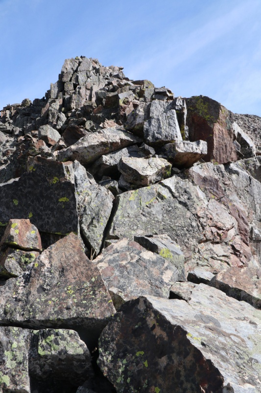
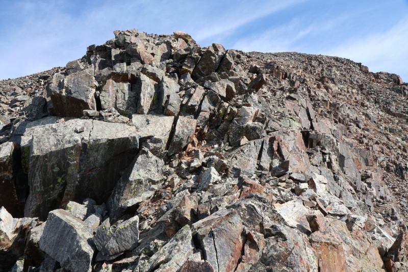
After the initial solid cliff band scrambling, I was presented with the ridge proper, as it narrowed down. At this point, it looked like you could easily contour over to the main route, but I decided to finish off the ridge, which continued to be class 3.
The ridge starts
While the ridge remains solid, you still have to exercise basic caution, as blocks will move. Not many have likely gone this way.
Blocky scrambling
Continued ridge scramble
Very close to the summit, the ridge eased in difficulty and was just class 2 talus up to the false summit.
Talus to the summitView of summit from false one
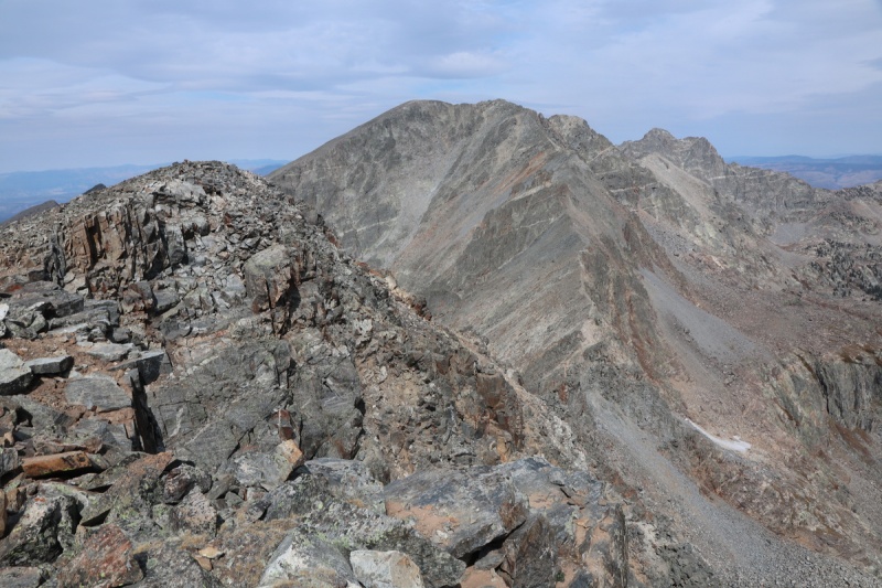
Summit Pano
Gold Dust ridge - class 4
Jackson and Holy CrossNot your standard boring Sawatch peaks
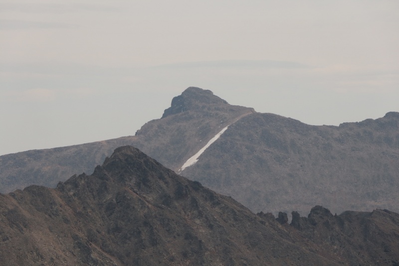
Massive ZoomHoly Cross zoom
While enjoying my summit time, I heard the call from my summit spirit animal. Quite fitting to see a pika on the summit of Pika Peak!
SQWEEWEEEK!
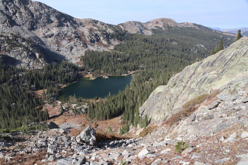
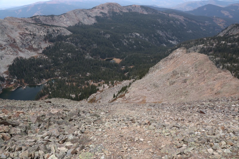
I had debated wether I wanted to head down to the saddle with Eagle and drop steep loose scree talus to get to Mystic Island Lake, but decided to go down the more standard way.
Talus off the summitRoute before you turn towards the lake
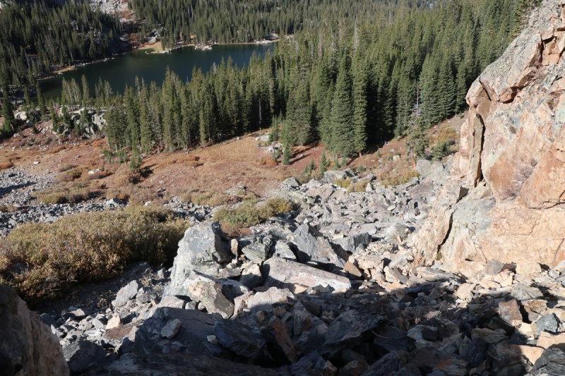
I decided to get hands on with the cliff negotiations and was treated with some good views along the way. I zig zagged through a couple cliff bands, before it seemed that I had to go back to the gray waterfall talus gully.
Above the cliffs and the grey rock gully to the rightMystic Island Lake view in the cliff bands
Looking up at the summit from cliff bandsAnother cliff view of Mystic Island Lake
When I turned back to the talus gully, I had a mini ledge scramble to get into it. The last of the fun route.
Ledge to the talus scramble
My ledge exit from cliff bands
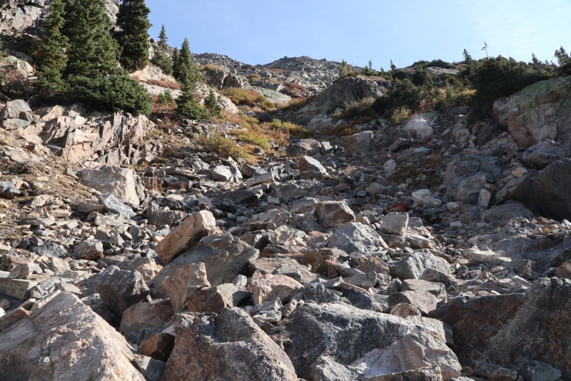
Obviously you can stay within this talus zone, but the waterfall nick point looked pretty steep. I went right and then to the left side of the talus gully, and then finally crossed back to the right over the big talus to go into the trees down to the trail by the lake. Here I could see fully the route that was hidden by the cliffs from my ascent path.
Looking up the talus gullyView of talus gully from final crossing point before trees. This gully was hidden by the cliffs from my morning vantage point
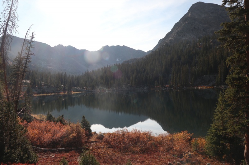
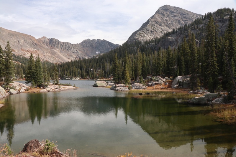
When I got down to the lake, I decided to take some photos from the other side, to see both routes more clearly.
Lake ripplesPika from the lake
Pika zoom - Ascent first rock rib to right , descent on left gully
My ridge ascent zoom - I started up before the light cliff zone on solid class 4 rock
I was happy that in my time at the lake, the clouds disappeared and the sun got bright again!
Pika and Lake CharlesGold Dust Peak on far right
Fools Peak reflection
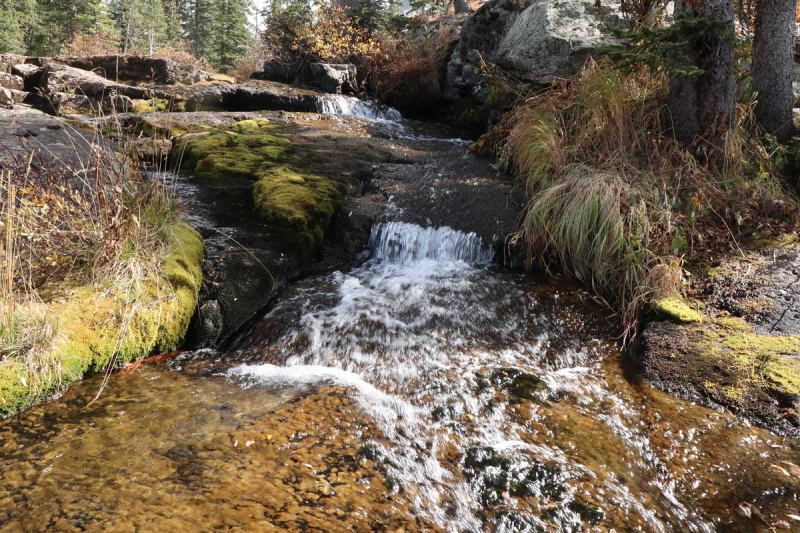
Little squishy algae waterfall
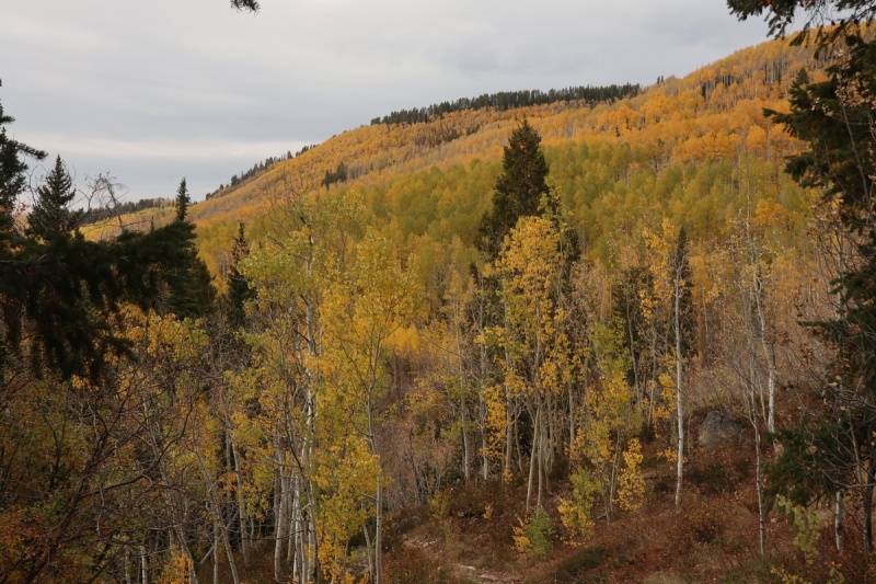
Once back on the trail, I made quick work down to the golden trailhead and off on a nice fall drive to my next destination
Golden trailhead
Fall drive
Fall tunnel
I can't exactly claim that this is an entirely new route, as someone has probably done it before, but I haven't read about it anywhere. This would be a good ascent option for those that have orphaned this peak, as that way you don't have to go up and down the endless talus that is quite boring. My route was quite fun and it made for a much better outing than I had anticipated!
My GPS Tracks on Google Maps (made from a .GPX file upload):
Thanks for sharing! Looks like a super fun route and one that may happen sooner than later :) Definitely agree with MtnHub, this area is the cat's pajamas.
Beautiful photos, Otina (as always). The Man and I did a similar route like that back in 2003 and combined it with Gold Dust Peak. Thanks for posting. Happy trails!
Doug - I'll have to visit again during wildflower season then. This was not a tough place to orphan a peak, and have to come back!
Barnold41 - Not all the Sawatch is boring! Hope you enjoy the new beta on this peak!
Presto - I figured someone HAD to have done something similar to me. Sometimes exploring pays off!
Caution: The information contained in this report may not be accurate and should not be the only resource used in preparation for your climb. Failure to have the necessary experience, physical conditioning, supplies or equipment can result in injury or death. 14ers.com and the author(s) of this report provide no warranties, either express or implied, that the information provided is accurate or reliable. By using the information provided, you agree to indemnify and hold harmless 14ers.com and the report author(s) with respect to any claims and demands against them, including any attorney fees and expenses. Please read the 14ers.com Safety and Disclaimer pages for more information.
Please respect private property: 14ers.com supports the rights of private landowners to determine how and by whom their land will be used. In Colorado, it is your responsibility to determine if land is private and to obtain the appropriate permission before entering the property.


")
")
")
")
")
")
")
")
")
")
")
")
")
")
")
")
")
")
")
")
")
")
")
")
")
")
")
")
")
")
")
")
")
")
")
")
")
")
")
")
")
")
")
")
")
")
")
")
")
")