Download Agreement, Release, and Acknowledgement of Risk:
You (the person requesting this file download) fully understand mountain climbing ("Activity") involves risks and dangers of serious bodily injury, including permanent disability, paralysis, and death ("Risks") and you fully accept and assume all such risks and all responsibility for losses, costs, and damages you incur as a result of your participation in this Activity.
You acknowledge that information in the file you have chosen to download may not be accurate and may contain errors. You agree to assume all risks when using this information and agree to release and discharge 14ers.com, 14ers Inc. and the author(s) of such information (collectively, the "Released Parties").
You hereby discharge the Released Parties from all damages, actions, claims and liabilities of any nature, specifically including, but not limited to, damages, actions, claims and liabilities arising from or related to the negligence of the Released Parties. You further agree to indemnify, hold harmless and defend 14ers.com, 14ers Inc. and each of the other Released Parties from and against any loss, damage, liability and expense, including costs and attorney fees, incurred by 14ers.com, 14ers Inc. or any of the other Released Parties as a result of you using information provided on the 14ers.com or 14ers Inc. websites.
You have read this agreement, fully understand its terms and intend it to be a complete and unconditional release of all liability to the greatest extent allowed by law and agree that if any portion of this agreement is held to be invalid the balance, notwithstanding, shall continue in full force and effect.
By clicking "OK" you agree to these terms. If you DO NOT agree, click "Cancel"...
I had started this report last spring, and was just reminded by a recent condition report that I needed to finish it. This is a great winter route, so here it is...
I had been wanting to climb these 2 peaks all winter and the timing just never worked out. It was now spring and I finally had an opportunity. There was a great weather forecast and luckily, a couple other members from this site, Brad McQueen and Tornadoman, had just recently put in a trench. Yay!
Day of Climb: Thursday April 1st, 2021
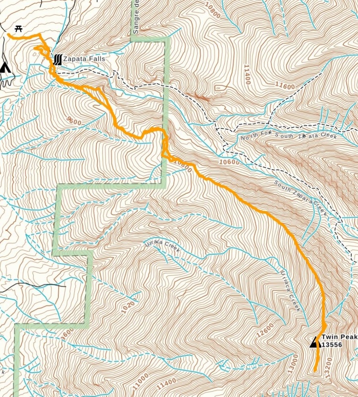
Trailhead: Zapata Falls
Peaks: Twin Peaks A and Twin Peaks A South
Mileage and Elevation Gain: 8.82 miles and 4511 feet of gain
Route.
I left Fort Collins late the night before and arrived at the Zapata Falls trailhead around midnight. The lot was completely empty which always gives me a feeling of uneasiness being alone in the middle of nowhere. I did my best to put that out of mind and tried to get as much sleep as possible. I was up around 5 and my climbing partner arrived shortly after. He had been smart and booked a hotel in Fort Garland for the night.
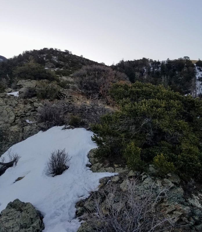
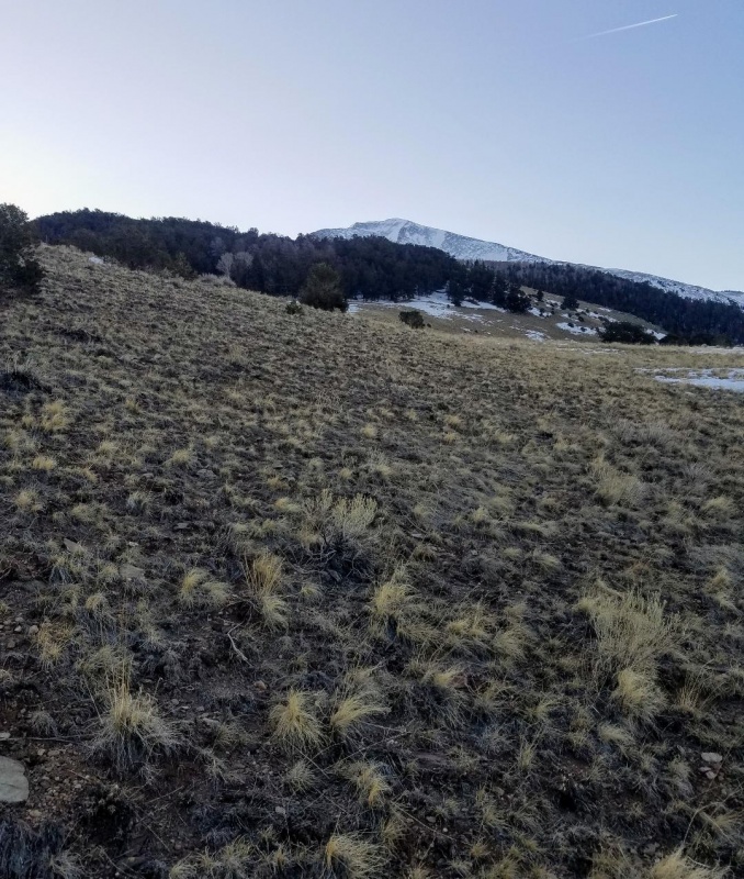
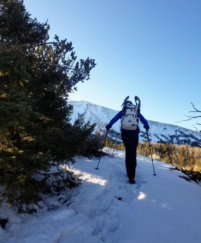
We geared up and were on the South Zapata Lake trail before 6. The trail started out mostly dry with only occasional snow patches. At approximately the 3/4 mile mark we veered off trail and bushwacked south to gain Twin Peaks Northwest ridge which would take us to our summits. This was different than the standard summer route which would not be avy friendly this time of the year. To our surprise, the ridge was almost completely dry to start. I had been expecting more snow but thankful this wasn't the case.
Beginning of ridge
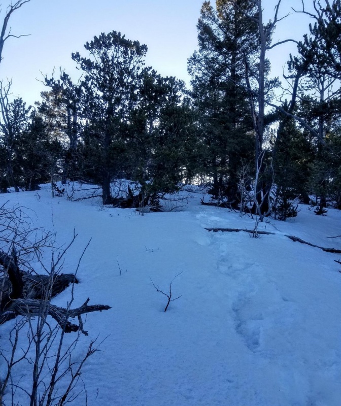
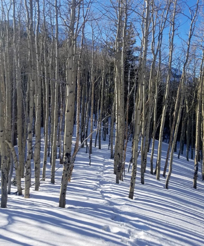
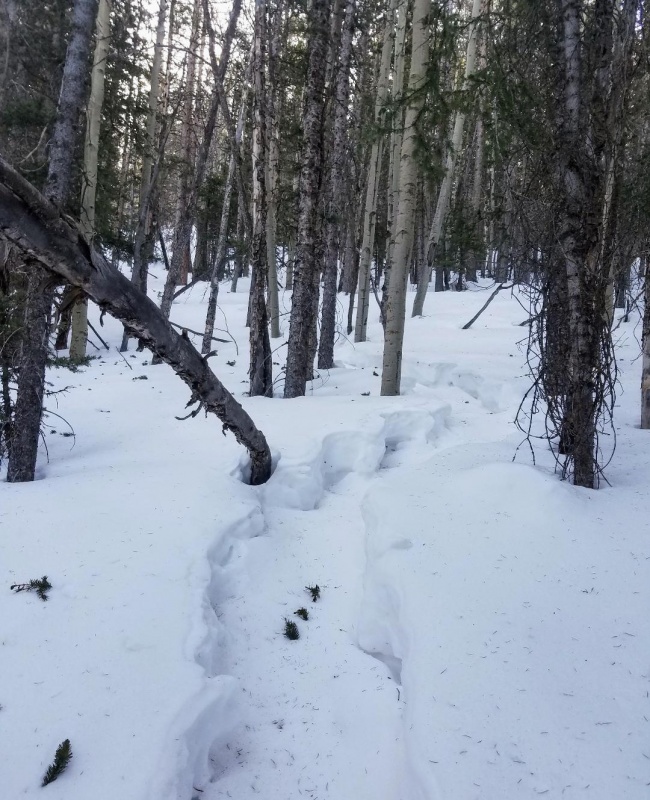
The ridge was very mellow and we meandered around a bit to avoid snow. This worked until we hit 10,600 feet where the snow became sustained until treeline. We could see the remains of the before mentioned trench, and even though it was more than a week old, it was in surprisingly good shape. It was easy to see the blood, sweat and tears that went into it's creation. We were thankful for it and continued on for a bit without needing snowshoes.
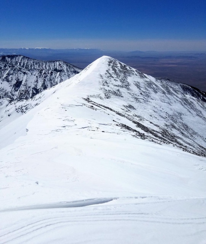
Twin Peaks A in the distance.It's not pretty, but it'll do.Better view of Twin Peaks AStill following the nice trench.
Eventually, our progressed slowed as we started postholing more and more in the wind loaded trench. It was a warm day and the snow was softening up quickly too. We donned our snowshoes and continued on.
Nice trenchWindblown trench near treeline.
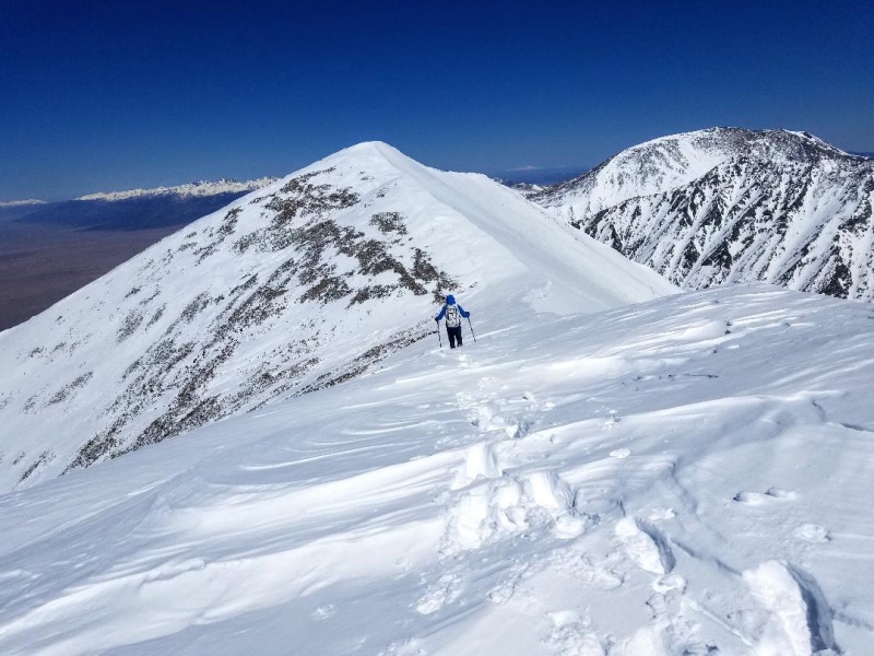
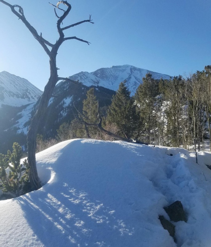
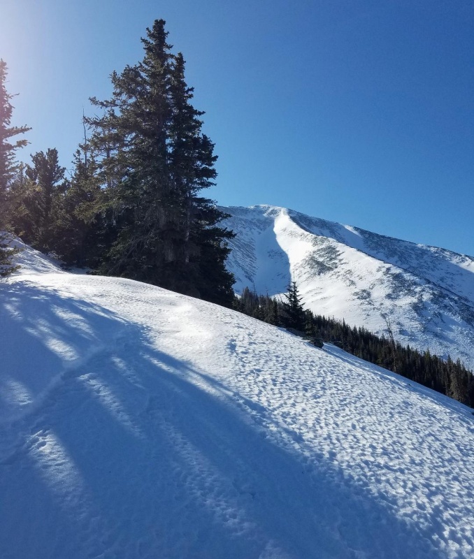
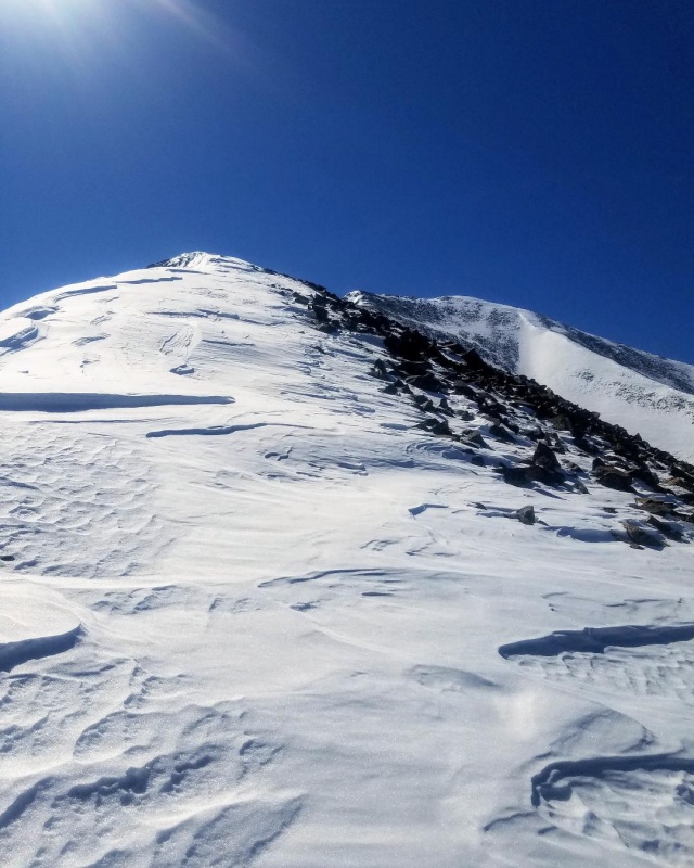
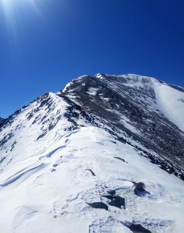
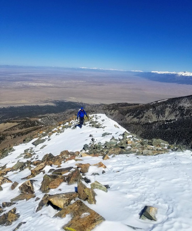
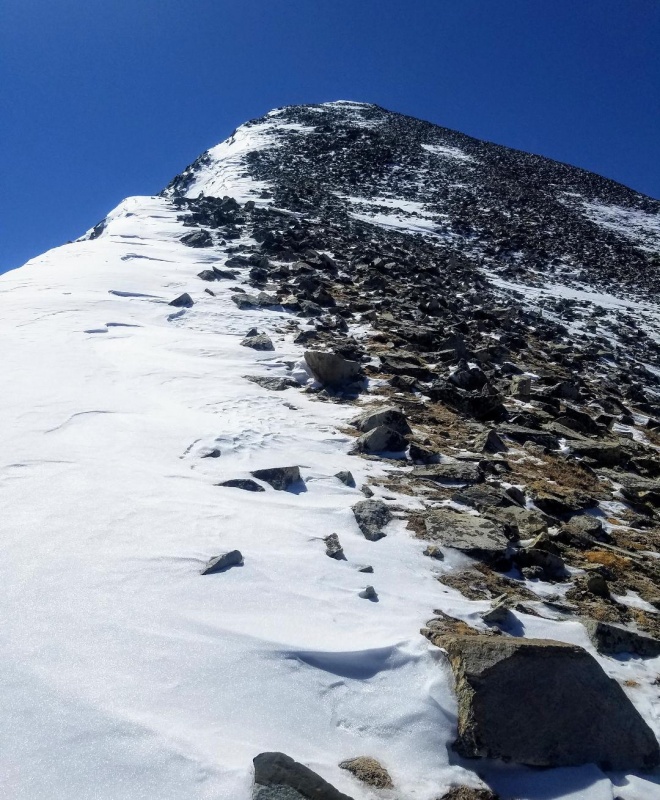
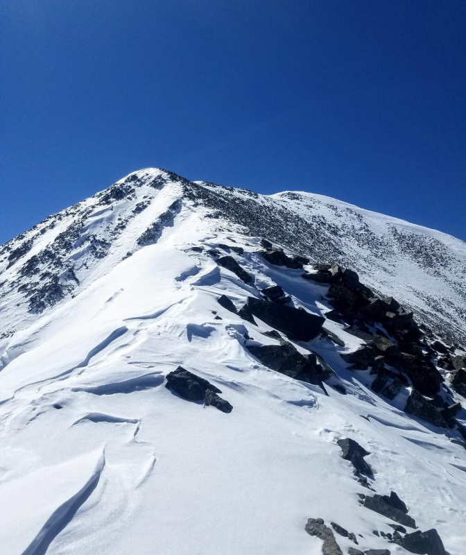
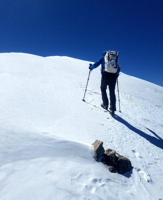
Soon enough we had reached treeline and stashed our snowshoes knowing the rest of the route would be mostly windblown. We rested for a few and continued on up the ridge at a steady pace.The steepness increased though while the terrain remained easy with a mix of stable talus and frozen tundra. Often there would be sections of consolidated snow to walk up which was preferably to the talus.
Steep section right out of the trees.
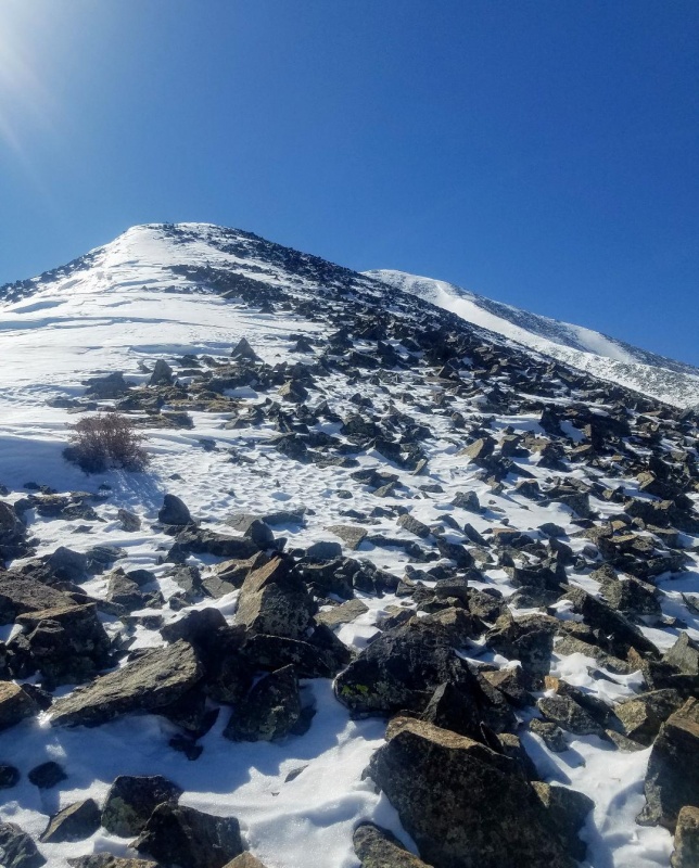
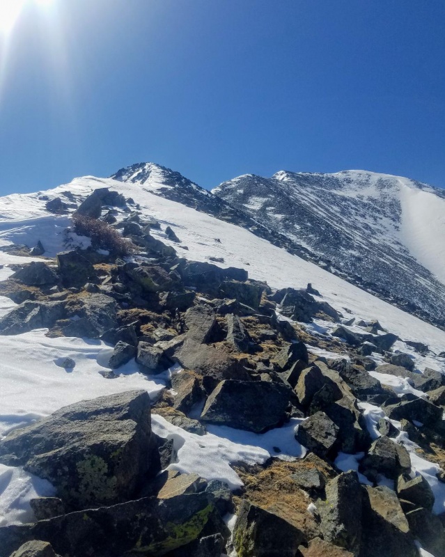
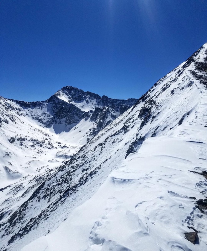
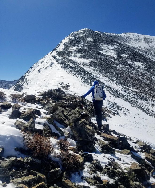
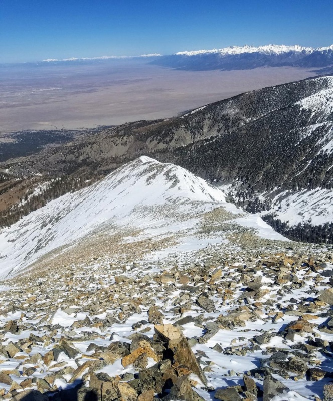
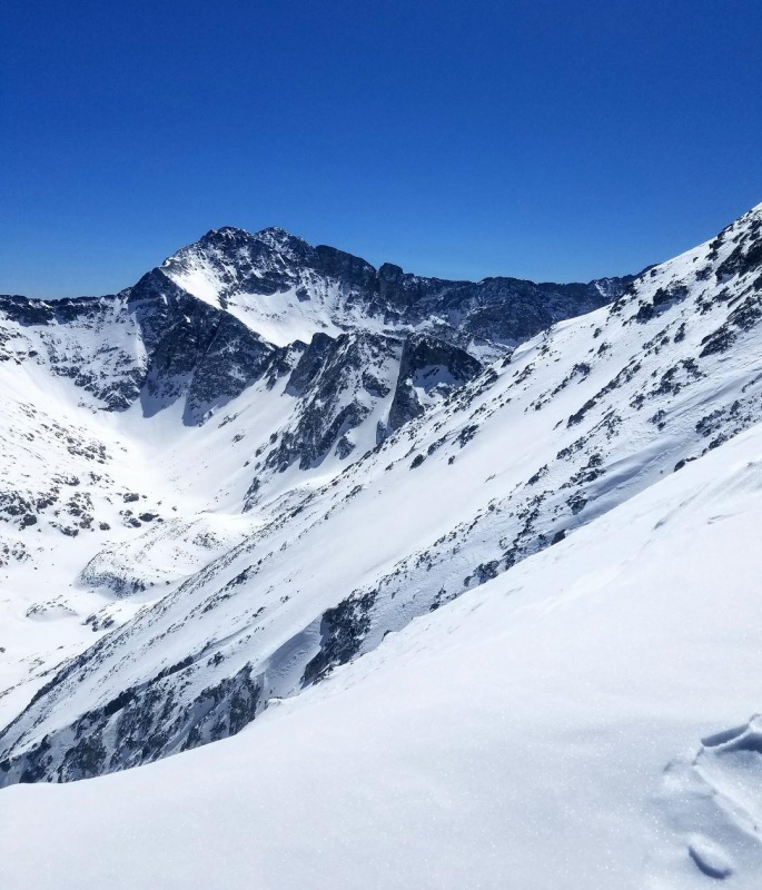
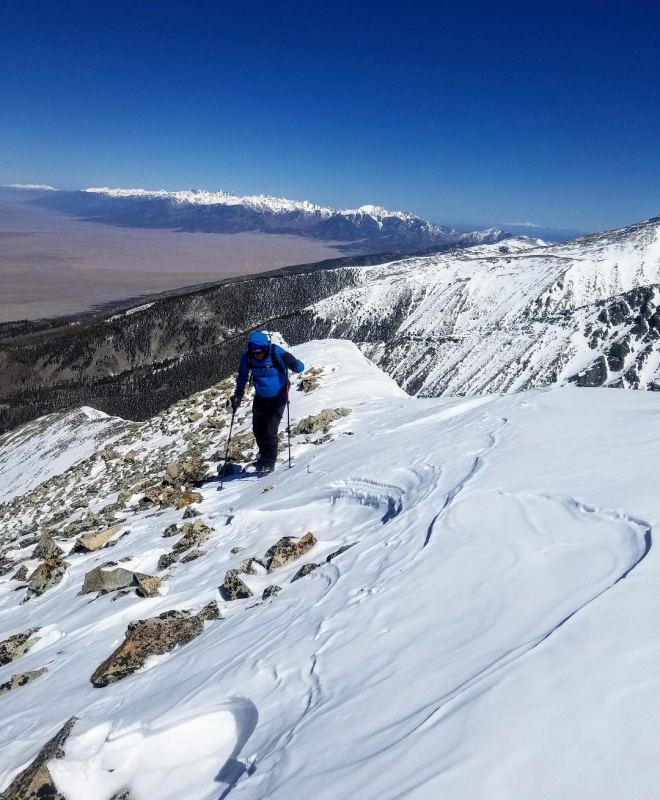
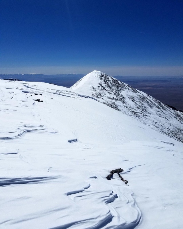
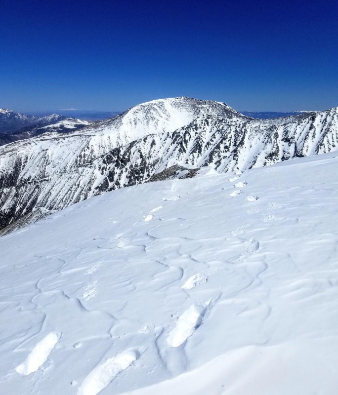
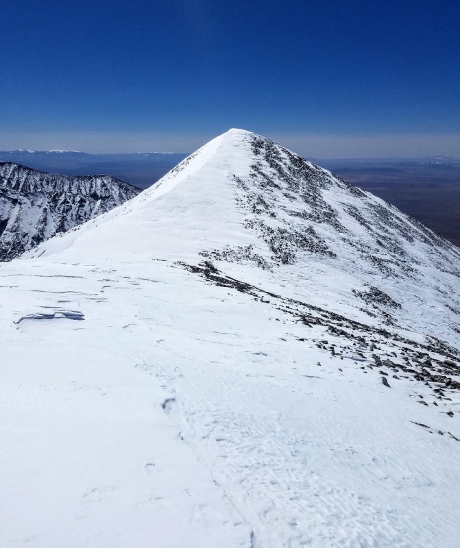
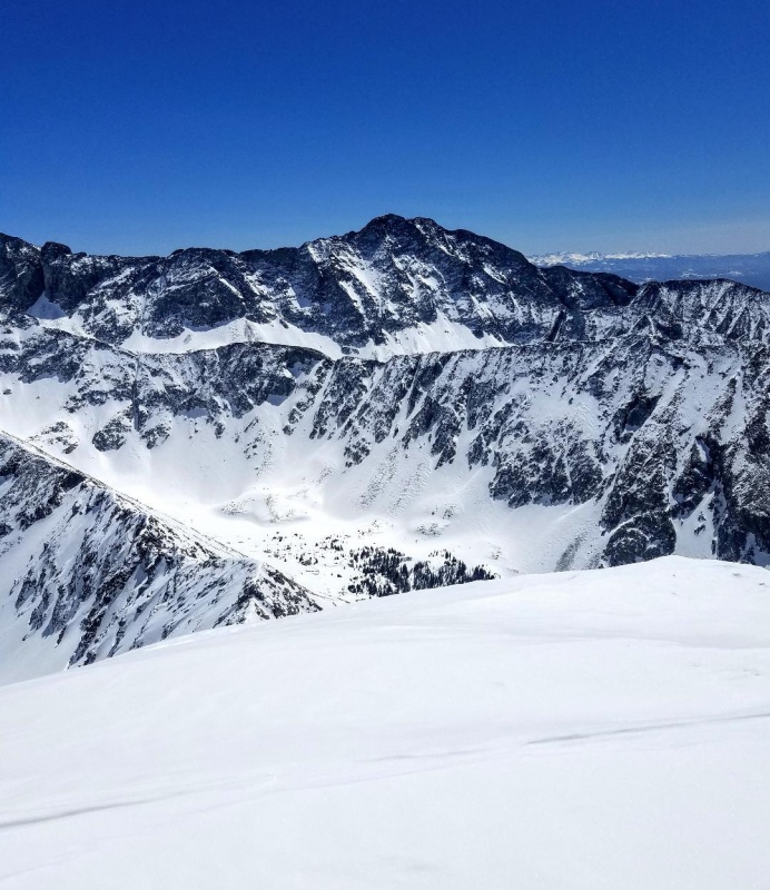
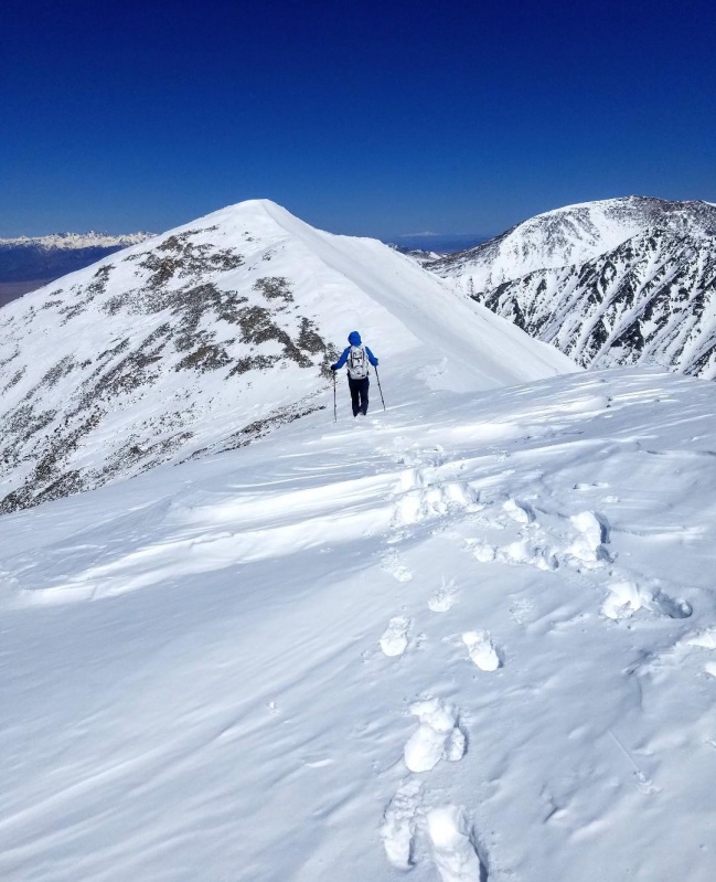
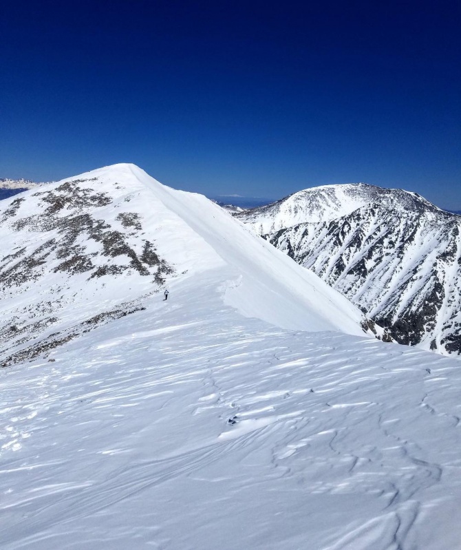
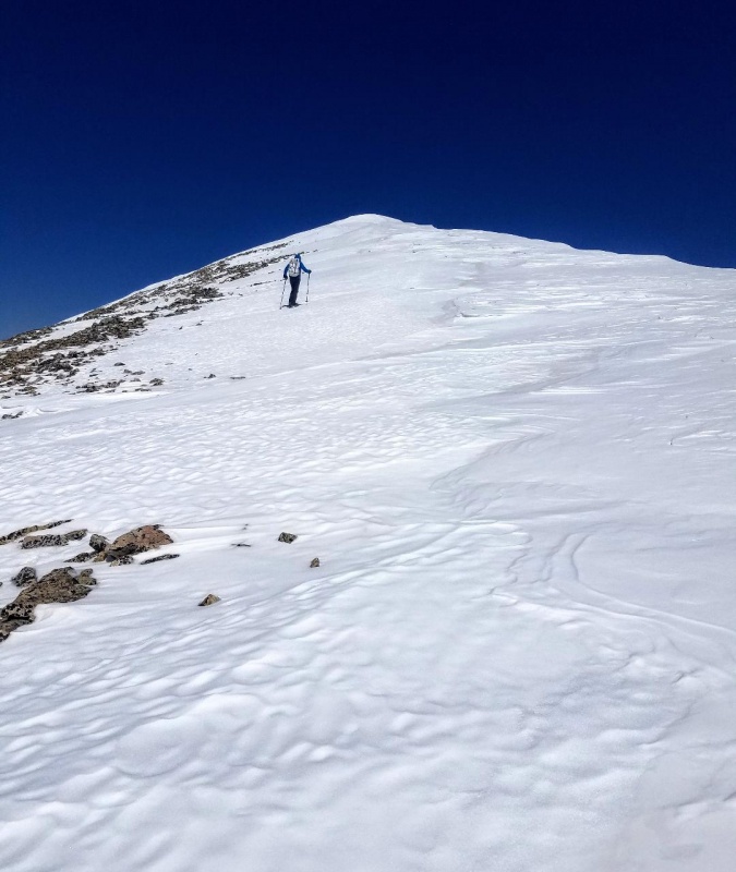
The terrain didn't change much as we continued up the wide, arcing ridge. It remained pretty easy going and a pleasant climb with incredible scenery. We stayed as close to the ridge crest as possible while giving plenty of space between us and the many cornices along the way. The views of Ellingwood Point were most impressive!
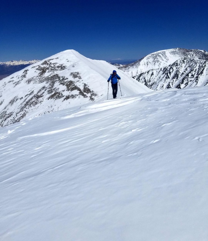
Ellingwood Point still looking very wintry.Looking back down the ridge.Steeper section here.Looking back again with the dunes and Crestones more visible now.Ellingwood Point again.DesertdogAlmost to the false summit.
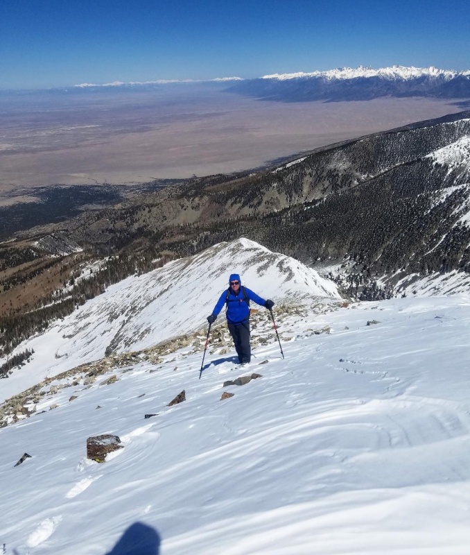
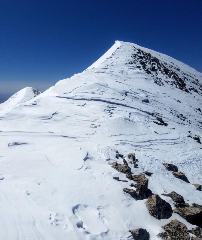
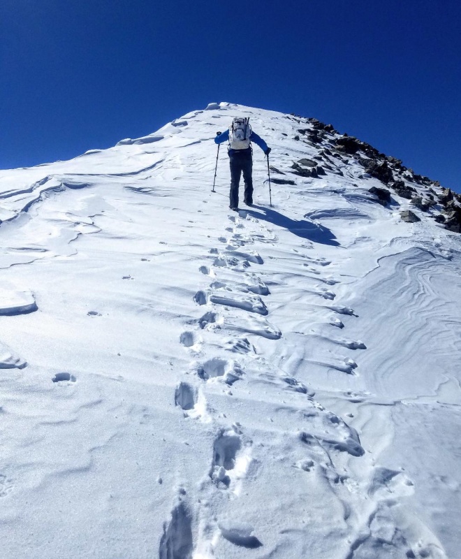
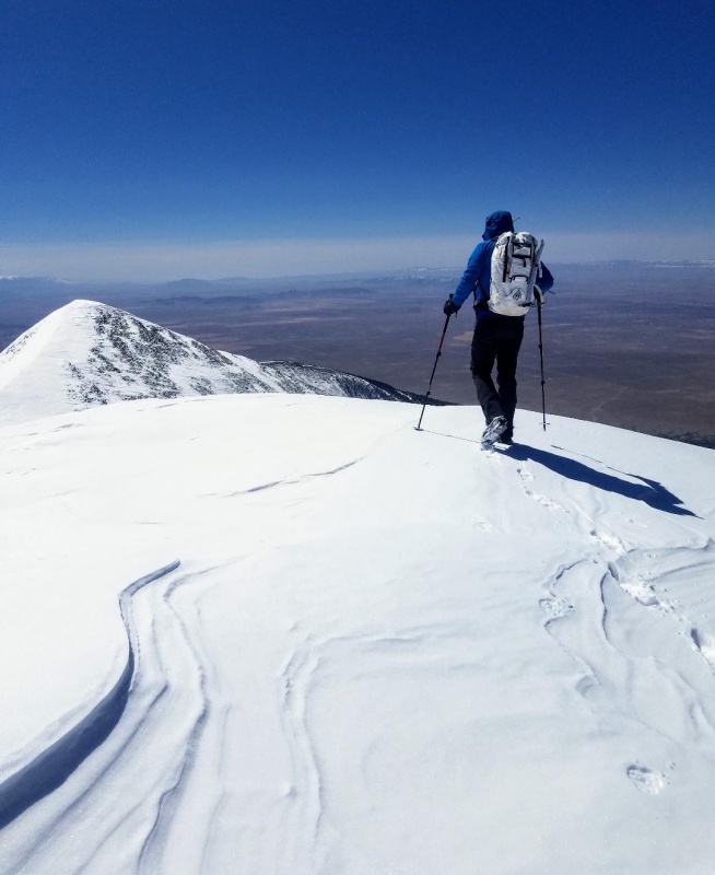
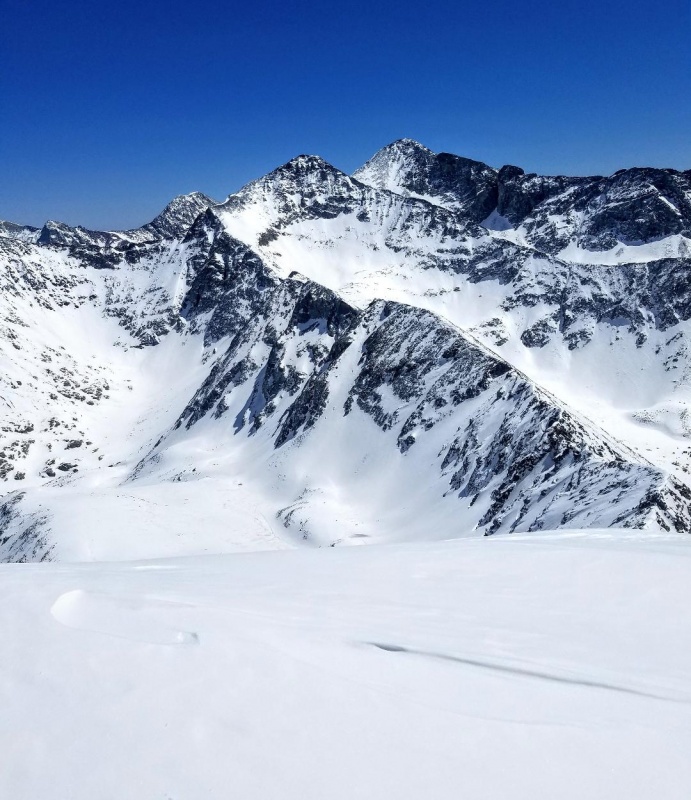
At the false we reached an upper ridge and were now only a short distance from the summit of Twin Peaks A . I put on my microspikes here and enjoyed a nice snow climb to the summit. We were rewarded with the most spectacular views of snowy peaks backed by a beautiful blue sky.
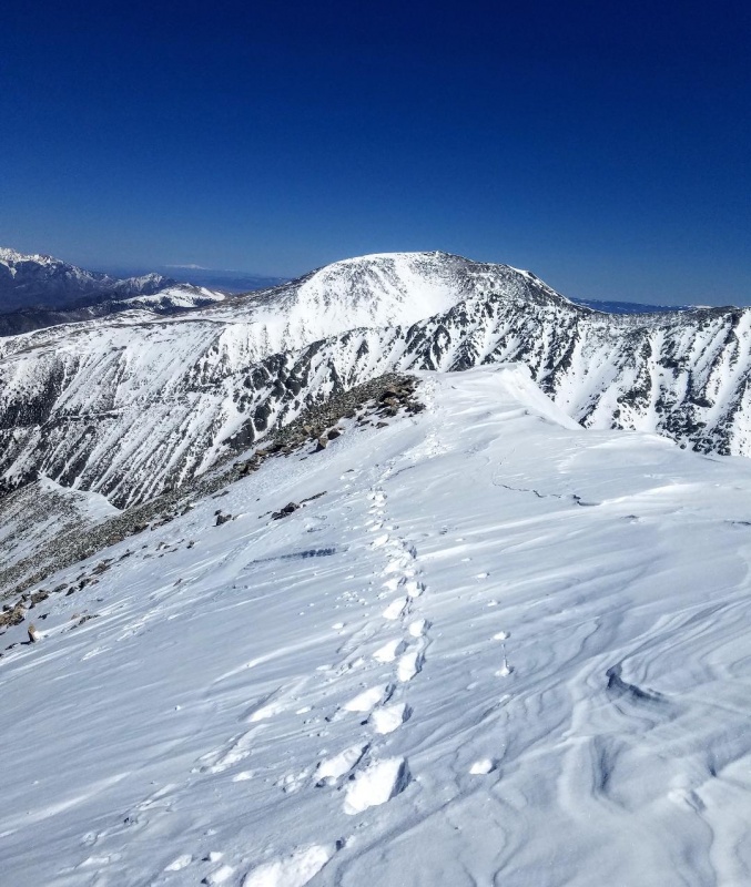
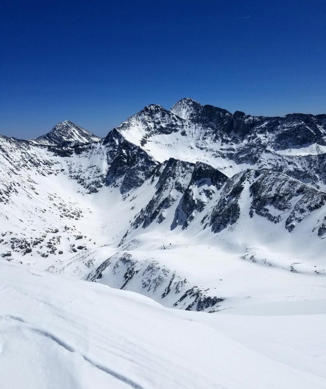
Upper ridgeNearing the summit of Twin Peaks A. Twin Peaks A South visible on left.Looking back down the upper ridge. California Peak in the distance.Almost there.Summit of Twin Peaks A and view of Twin Peaks A South.Lindsey, Ellingwood and Blanca.View of Twin Peaks A South.Looking back at California Peak.
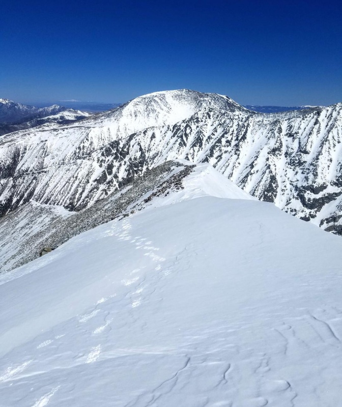
Our summit stay was short lived with Twin Peaks A South still remaining to complete the day. So, we gingerly stepped off the heavily corniced summit of Twin Peaks A and gave our left a wide berth while descending to the saddle. Twin Peaks A South was only a 1/4 mile away and we covered that distance quickly on firm snow for our second peak of the day.
At the saddle.Summitting Twin Peaks A South.Little Bear looking magnificent.Beautiful!
Somehow, the views from Twin Peaks A South were even better, especially that of Little Bear. The beauty of these snow covered peaks and ridges was beyond amazing! We soaked it all in at a leisurely pace before reluctantly beginning our descent back the way we came.
Headed back to Twin Peaks A.Climbing back up Twin Peaks A.Beginning our descent down the ridge back to the trailhead.
Thumbnails for uploaded photos (click to open slideshow):
Brad and I were socked in on the summit, I need to go back to see that view! Since I was up there a couple days too late for calendar winter, I might try to get the snowflake next time! :)
Caution: The information contained in this report may not be accurate and should not be the only resource used in preparation for your climb. Failure to have the necessary experience, physical conditioning, supplies or equipment can result in injury or death. 14ers.com and the author(s) of this report provide no warranties, either express or implied, that the information provided is accurate or reliable. By using the information provided, you agree to indemnify and hold harmless 14ers.com and the report author(s) with respect to any claims and demands against them, including any attorney fees and expenses. Please read the 14ers.com Safety and Disclaimer pages for more information.
Please respect private property: 14ers.com supports the rights of private landowners to determine how and by whom their land will be used. In Colorado, it is your responsibility to determine if land is private and to obtain the appropriate permission before entering the property.

")
")
")
")
")
")
")
")
")
")
")
")
")
")
")
")
")
")
")
")
")
")
")
")
")
")
")
")
")
")
")
")
")
")
")
")
")
")
")
")
")
")
")
")