| Report Type | Full |
| Peak(s) |
Hayden Mountain North - 13,131 feet |
| Date Posted | 09/20/2021 |
| Date Climbed | 09/18/2021 |
| Author | 13erRetriever |
| The "Trail" Less Traveled |
|---|
|
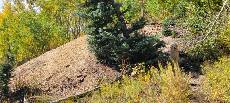
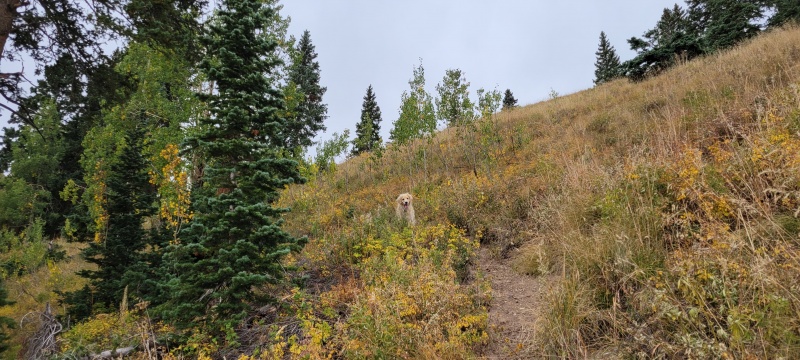
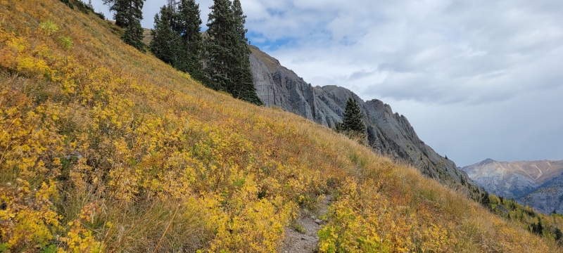
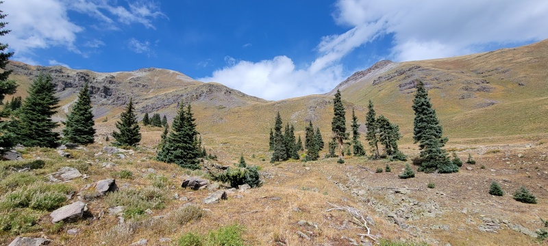
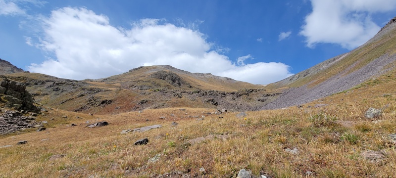
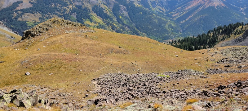
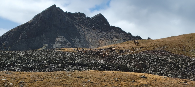
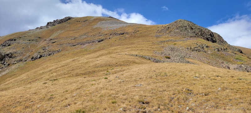
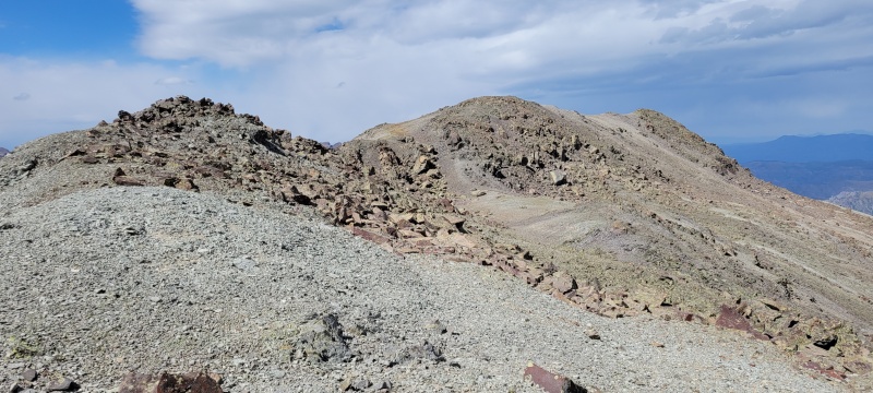
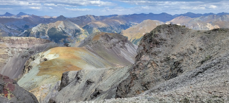
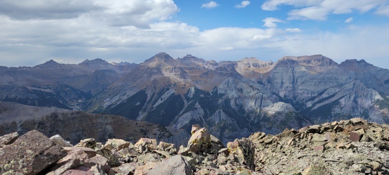
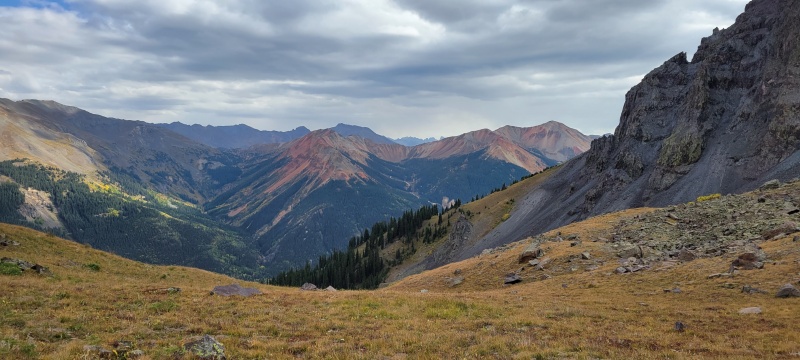
Hayden Mountain North Hayden North has intrigued me for some time. It's not that I've done everything else around it (not even close, actually) it's just that I've stared at it every time I get on Google Earth to plan the surrounding mountains and told myself that there has to be another way up besides the nasty ridge that connects it to Hayden South, which is the way the two other reports on this site have it routed. On trips up Engineer and Corkscrew passes this summer I've tried to get a glimpse of Half Moon Basin to see if this might be a viable way to go but it's pretty elusive and you can tell just by looking up the slope from Ironton that to get there takes quite a bit effort. I'll admit part of me has been waiting to see if someone else from this site would try to go this way and do a write up about it. It's a pretty lowly 13er though, with only 50 ascents listed on this site when I did it. I'd be waiting a while if I waited for someone else to hike this and decide to write about it. After getting five new difficult 14ers last week (the Chicago Basin peaks and Mount Wilson) I was feeling pretty good and off went the voice in my head - be the beta. Ugh. Okay, fine. The leaves are changing, the weather is great, and the trailhead is 25 minutes from home. Why not? Why not indeed... The majority of this hike is on grass. Steep grass. Steep tall grass which at this dry time of year is particularly awful. Wear your high boots, gaiters, and pants for sure. I wore my trail runners, didn't have gaiters, and had to stop several times to empty out my shoes and was constantly pulling grass spurs off poor Harper. While I'd researched the route as best I could we were still going mostly blind. Surprisingly, there were several "trails" that we were able to link up to make this route slightly more tolerable. All of these were incredibly steep, and I couldn't tell if they were game trails or old miner trails. Probably some combination of the two. Most would appear out of nowhere and end 50 feet later or spur out into three different possible paths so it was a constant guessing game as to which one might last the longest or take you the highest. In short, getting up the first 1900 feet of this mountain this way isn't too fun. Getting down was even less so, and I don't say that very often. In my experience trails are easier to spot on the way down but as you can see from my GPX track the best I could do was stay close to my ascent. Once in Half Moon Basin the route improves greatly, but you'll do a lot of work to get there first and if you're anything like me you'll be questioning your life choices. At only about 100 feet up this slope I told myself I could turn around now and be on my couch in 25 minutes binging Top Chef the rest of the day. I'm glad I stuck with it but I'll give you one guess as to what I did with my Sunday (other than write this report). Once in Half Moon Basin, you have a choice. I originally planned to go to the saddle north of Hayden North and walk the ridge, but as I got closer to the base of the mountain I could see a good grassy path up the southeast slope that looked better to me at that particular moment. I'm sure the north ridge probably goes, I just couldn't be all the beta on this mountain that day. I'll leave that one up to you. You could probably make a good loop of it. If I hadn't been solo and tired I probably would have tried it myself. The last couple of hundred feet using the southeast slope is a loose talus hop, but nothing I'd call terrible. The endless steep tall grass is by far the worst part of this route and I practically kissed the ground when I finally found myself on familiar loose rock. There's one very minor false summit on this approach but it's barely noticeable and you'll be in awe of the views anyways once you reach the crest so you won't mind it one bit. 


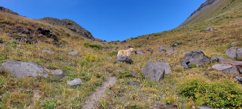

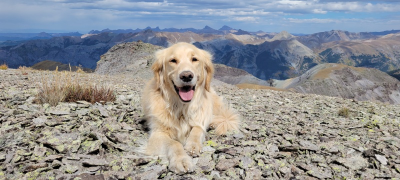


I set out to find an alternate route up Hayden North - mission accomplished and summit achieved! Now time for some takeout Thai food in Ouray and movies on the couch with Harper Quinn. Quite a good day if I don't say so myself. Thumbnails for uploaded photos (click to open slideshow): ")
")
")
")
")
")
")
")
")
")
")
")
")
")
")
")
")
")
")
")
")
")
")
")
|
| Comments or Questions | ||||||
|---|---|---|---|---|---|---|
|
Caution: The information contained in this report may not be accurate and should not be the only resource used in preparation for your climb. Failure to have the necessary experience, physical conditioning, supplies or equipment can result in injury or death. 14ers.com and the author(s) of this report provide no warranties, either express or implied, that the information provided is accurate or reliable. By using the information provided, you agree to indemnify and hold harmless 14ers.com and the report author(s) with respect to any claims and demands against them, including any attorney fees and expenses. Please read the 14ers.com Safety and Disclaimer pages for more information.
Please respect private property: 14ers.com supports the rights of private landowners to determine how and by whom their land will be used. In Colorado, it is your responsibility to determine if land is private and to obtain the appropriate permission before entering the property.


