| Report Type | Full |
| Peak(s) |
Crystal Peak - 13,860 feet Pacific Peak - 13,965 feet Atlantic Peak - 13,856 feet Fletcher Mountain - 13,943 feet "Drift Peak" - 13,915 feet |
| Date Posted | 09/27/2021 |
| Date Climbed | 09/19/2021 |
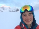
| Author | Geckser |
| Crypacatflift Traverse |
|---|
|
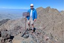
Crypacatflift Traverse Traverse hitting all centennials in the Tenmile Range 9/23/2021 After the finishing the 14ers about a month ago I decided to do something I swore to myself I would never do... Climb the centennials. Actually during my time in the 14ers I made every attempt not to start on this list, skipping even trivial centennials add ons like Holy Cross Ridge because I was confident I would never start working on that list. Well the times have changed and the I found myself bored about half a week later. So me and my partner got the gang back together and started chugging along, knocking out the closest peaks to Golden. Quickly the group of 4 cents surrounding Quandary caught my eye. 4 peaks in a day would feel pretty good and really, how tough could it be. After some baseline research I found that it could be, in fact, pretty dang tough. I could not find any trip reports that hit all four of the peaks continuously, aside from some of the mega traverses. The crux of the trip would be the traverse from Atlantic to Fletcher which could top at out 5.7 if you stayed on the ridge! I also saw many warnings of shit rock and difficult route finding. In this preliminary research I also learned of the great Drift Peak which we decided to just throw in at the end. We also determined we wanted to make a loop out of this trip! So my partner and I started gathering up GPX files, trip reports and all the limited beta that could be found and set a date. The day came, we left Golden at 6:00 A.M, still discussing where we would park. With the recent limitations on parking in the Quandary area we only had one real option, the Blue Lakes Trailhead. We decided that we would park at this trailhead, walk down the road, catch the Quandry shuttle to Mccullough trailhead and begin the loop from there. This actually worked remarkably well, the shuttle was waiting when we finally got down the road, we hopped in and were quickly a few miles into the trip! A nice, albeit minor time save! Now the trip had begun and we still were not in the right basin! 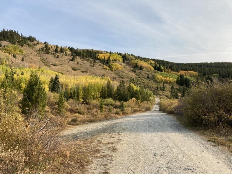
So, following a GPX file from mccullough to Crystal, we began up the road until we reached the Mccullough tunnel where we started up the hill aiming to hop over the ridge as efficiently as possible. Does anyone know what is going on with that tunnel anyway??? 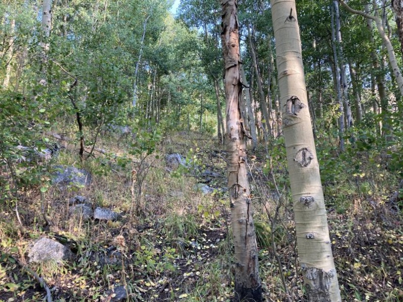
When we broke aspens we were in a large grassy drainage basin. We followed this basin up to the ridge breaking up the Mccullough and Spruce Creek basins. The going was pretty easy in this basin, though the grass was setting off my allergy alarms to an extreme extent. 

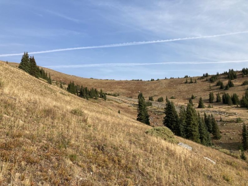
We had now made it over the first major obstacle of the day and we were in the correct basin! You don't even need to lose much elevation heading into the basin, at least as long as you are willing to sidehill. Once we topped out we started heading up the basin, trying to lose as little elevation as possible. 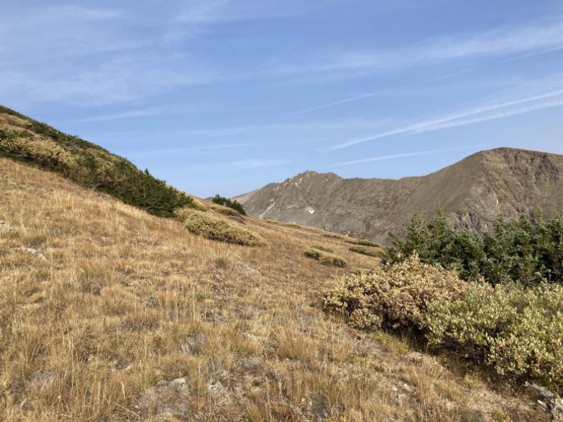
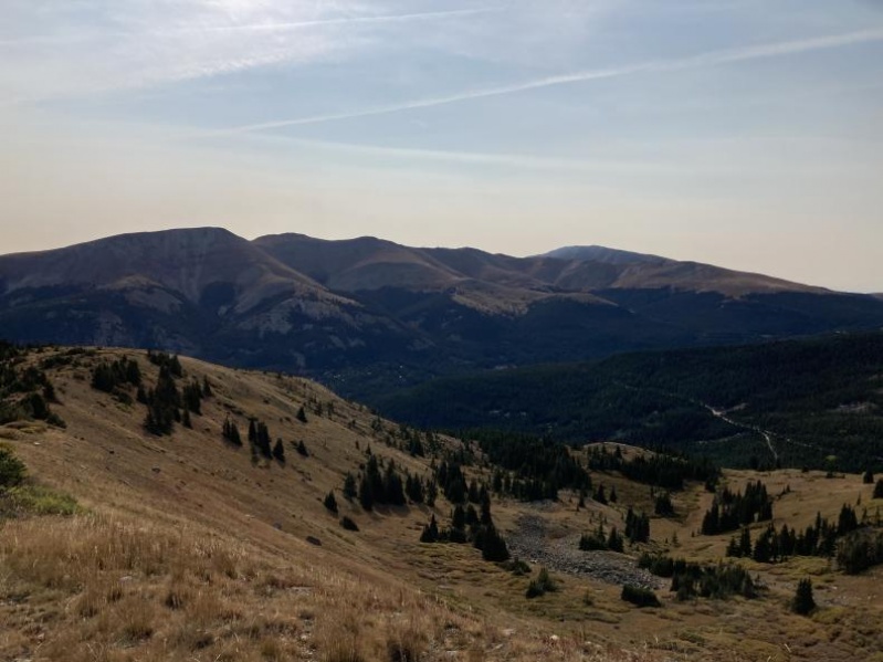
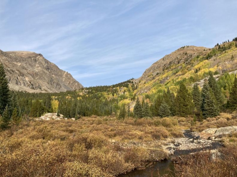
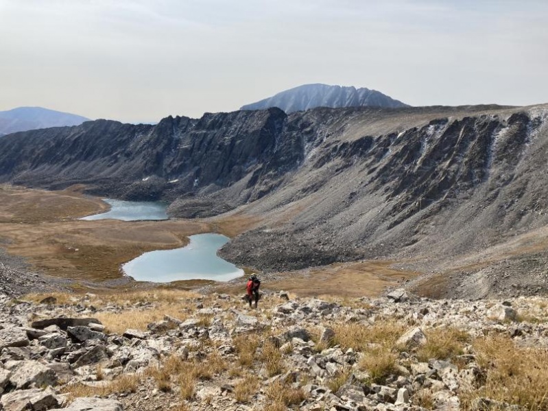
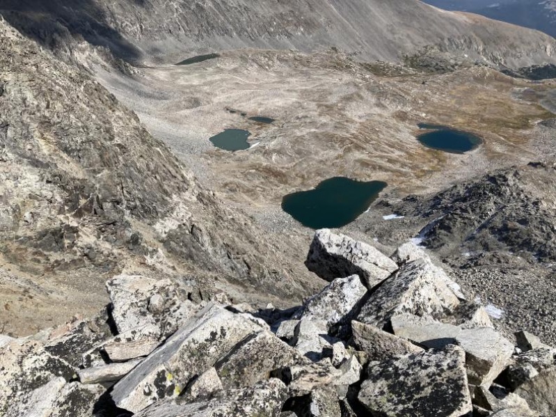
We then followed the basin until we reached a view over our first lake. At this point we cut to the left of the lake and caught the trail that winds its way up the basin 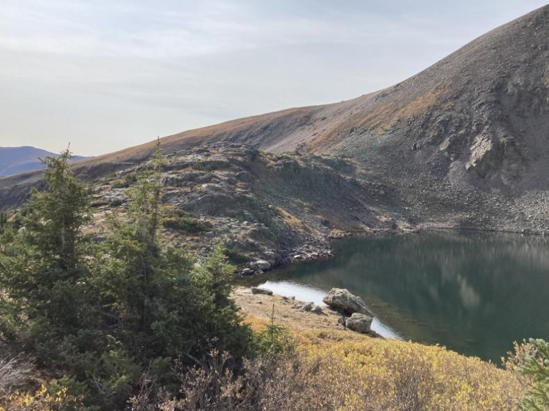
At this point we marched up the trail past marsh, lakes and generally pretty alpine tundra. It was probably half a mile until we neared the slopes of Crystal Peak. The basin was stunning and the tundra was turning colors, very nice colors. 
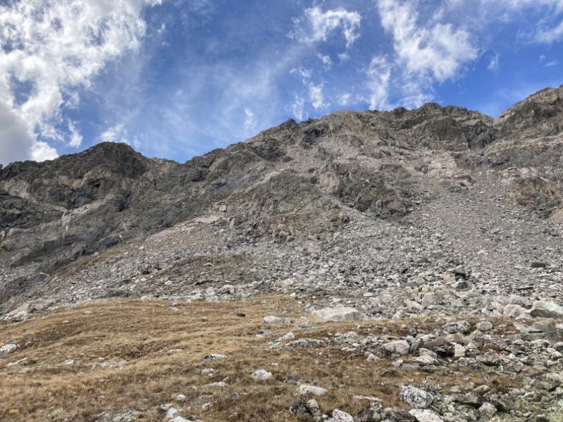
No that we were above the lakes all we could see was the gross looking hill up Crystal. I am happy to say that despite its gross looks as long as you stick to the grassy slopes it is pretty trivial (not that loose) travel. We made good time up a hill I thought would be true nightmare fuel. 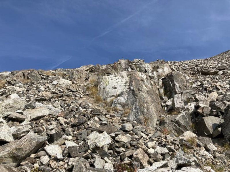
Eventually the slope flattens and you can cut left to head up the now visible and not so pretty Crystal peak. It is trivial scrambling to reach the summit from here. Our tracks are pretty reliable for this section. We were surprised to meet someone on top of Crystal. They thought the ridge plan would be impossible, which they were only mostly wrong about. After a short breather on Crystal we began our ridge march, hoping to keep up the strong pace. 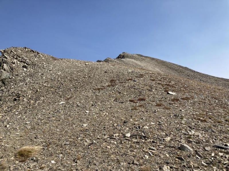
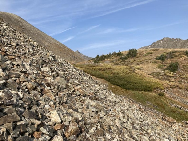
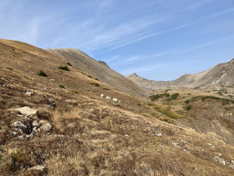
The ridge to Pacific was generally uneventful, we just went down to the saddle then up through some minor class 2+ scrambling. Some loose rocks, even here, so be aware. We summited Pacific a little more than 3 hours into our trip. Took another short break and began moving once more. Time for Atlantic! 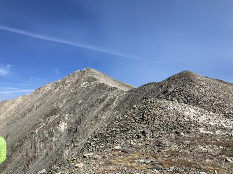
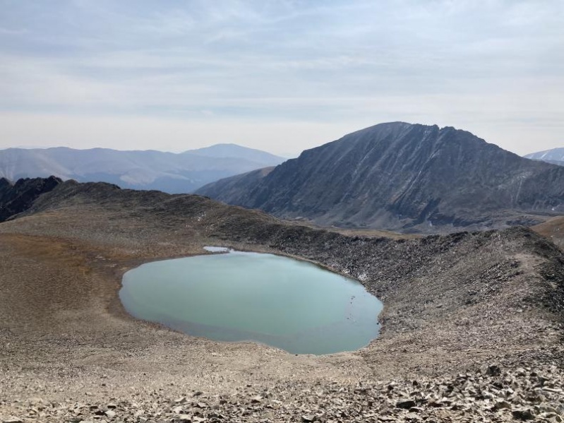

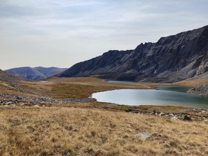
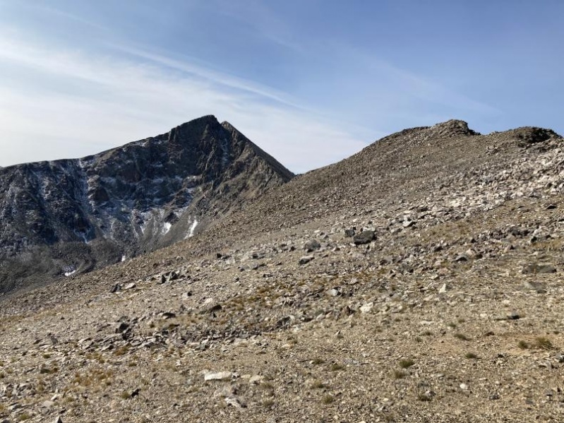
Pacific to Atlantic was very boring. We at least got a nice view of that really high alpine lake. One benefit, at the summit of Atlantic we finally got a view of the real goal of the trip. The Atlantic to Fletcher traverse, which at least from this side did not look so bad. This is where I am going to include a word of warning, this traverse is technical, loose and confusing. Our route worked but following it may be difficult, and we were honestly lucky to have never cliffed out. I will say our route was never tougher than a stiff class 4 (2nd gendarme) but follow it at your own risk. 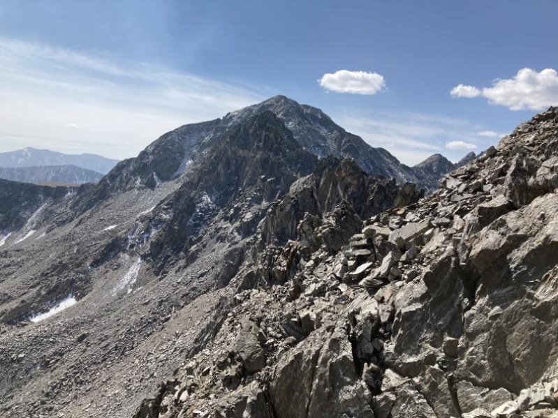
The descent from Atlantic was not so bad! the first gendarme is easy to avoid and the terrain is pretty trivial outside of that. The 2nd gendarme is where things started to get tough. This was the technical crux of our route, though the rock was pretty solid where it needed to be. 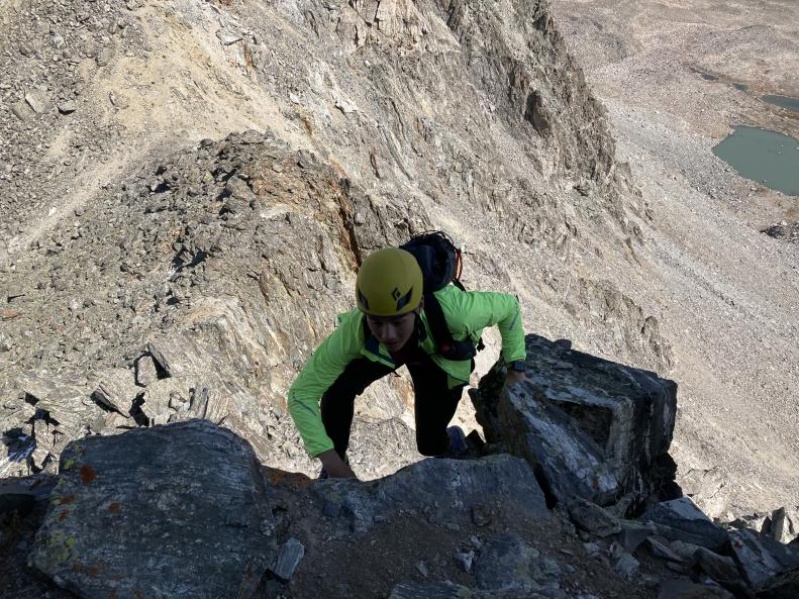
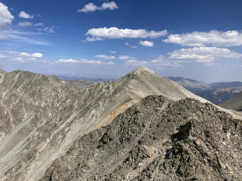
At this point we slipped around the side of it and got to the pass between gendarme 2 and 3. We then decided to follow some advice from the recent MTT traverse FKT man. So we dropped to the east about 400 feet down below the ridge to avoid the 4+5th class climbing. We then followed the ridge from below until there was a break, revealing a pass between the summit of Drift and the 5th Gendarme, we followed this break until we reached that pass. I really don't know if this was the right call in terms of saving time but it worked out pretty well. It definitely keeps the technicality to a minimum at the cost of really shitty rock and lost elevation. 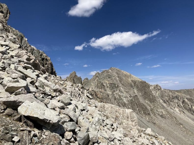

I will keep the descriptions here to a minimum as there is little information I can give that would be helpful but if you simply aim between Drift's summit and the 5th Gendarme you can stay out of too difficult terrain. The rock, once again is loose, be sure you can route find very well and be comfortable on less than firm footing. Once you get to the pass between the two peaks the scrambling to the summit is pretty trivial. 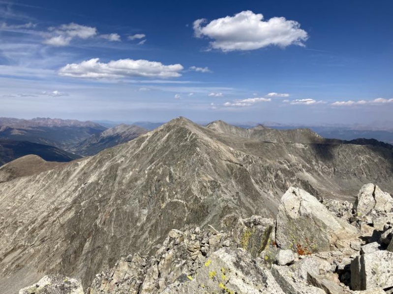
At the top of Fletcher we took a long break considering if we wanted to the 5.2 downclimb on the way to drift or simply do the class 2 variation. We determined that we felt willing to take on the more difficult ridge route. It was more fun and easier than we expected 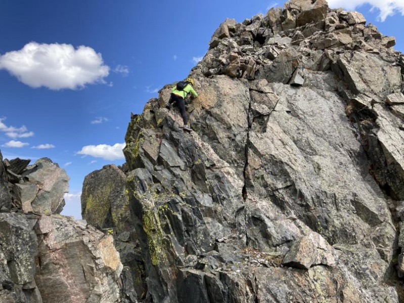
After the downclimb it is an easy scramble to Drift's summit. Yay! 5 peaks down, this took us about 6 hours from the shuttle dropoff. Now came the easy part, or so we thought. We dropped down to a little gulley to the south of Drift's summit, attempting to follow a GPX track. This went poorly this gulley was a nightmare, loose, very technical and confusing. We made it past two large chockstones but we were unable to find a safe way past the third, so we traversed north a few hundred feet until we reached some nice, grassy ledges which we used to descend the rest of the way. BE WARNED do not follow our GPX tracks down this gulley 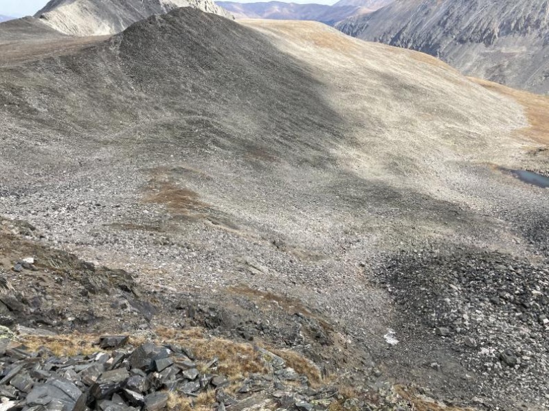

From this point we aimed towards the lake and finally we at grass once more, this made for much easier travel than the rest of our trip. At this point we just followed the basin down until we caught a trail, walked past the north side of Blue Lake and walked the rest of the way down the road to our awaiting car. 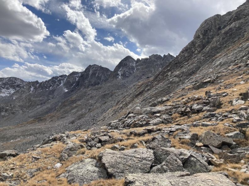
I posted this (likely poor) trip report so that anyone in the future can see that this trip is feasible and get an idea how to do it. Our route was pretty good, but had some very obvious mistakes, most especially the descent from Drift. I would not follow our GPX tracks to a tee but I hope this report will make planning for future climbers easier. It is a pretty good loop overall, especially with the shuttle system from Quandary. Thumbnails for uploaded photos (click to open slideshow): ")
")
")
")
")
")
")
")
")
")
")
")
")
")
")
")
")
")
")
")
")
")
")
")
")
")
")
")
")
")
")
")
")
")
")
")
")
")
")
")
")
")
")
")
")
|
| Comments or Questions | |||||||||
|---|---|---|---|---|---|---|---|---|---|
|
Caution: The information contained in this report may not be accurate and should not be the only resource used in preparation for your climb. Failure to have the necessary experience, physical conditioning, supplies or equipment can result in injury or death. 14ers.com and the author(s) of this report provide no warranties, either express or implied, that the information provided is accurate or reliable. By using the information provided, you agree to indemnify and hold harmless 14ers.com and the report author(s) with respect to any claims and demands against them, including any attorney fees and expenses. Please read the 14ers.com Safety and Disclaimer pages for more information.
Please respect private property: 14ers.com supports the rights of private landowners to determine how and by whom their land will be used. In Colorado, it is your responsibility to determine if land is private and to obtain the appropriate permission before entering the property.