| Report Type | Full |
| Peak(s) |
Bard Peak - 13,641 feet Robeson Peak - 13,129 feet Mt. Parnassus - 13,580 feet |
| Date Posted | 10/27/2021 |
| Date Climbed | 09/26/2021 |
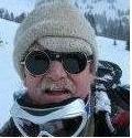
| Author | CaptainSuburbia |
| A Quick Climb to Bard Peak |
|---|
|
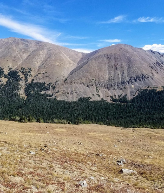
Bard Peak was my nemesis last year. Twice I bailed on summit attempts because of bad weather. The first time was in the spring when I got winded off after getting to Parnassus Peak. The second time was in the fall when fog, rain and sleet moved in on us after reaching Robeson. I was still able to add Englemann that day, but Bard was out of the question. This day would be my third and hopefully last attempt. Day of Climb: Sunday September 26th, 2021. Trailhead: Ruby Gulch (URAD mine) Peaks: Bard Peak, Robeson Peak and Parnassus Peak Mileage and Elevation Gain: 9.24 miles and 4448 feet of gain Duration of Climb: 4 hours and 59 minutes. Start time: 9:02, Bard Summit: 11:15, end time: 2:01 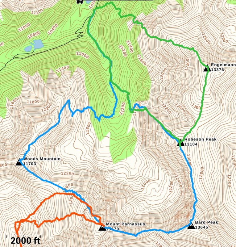
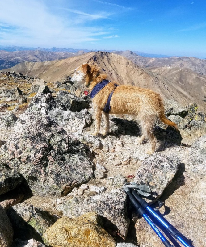
I arrived at the Ruby Gulch trailhead just before 9 am.This would be a late start. I wasn't concerned though because a perfect weather forecast was predicted and the hike was reasonably short and very straightforward. I do really like this trailhead and it's proximity to the Front Range, and I'm surprised it doesn't get more traffic. There were only a couple other cars parked there on this day and the 1.5 hour drive from Fort Collins was more than delightful. So, just after 9 Leo "the wonder dog" and I headed up an old mining road to start our journey. 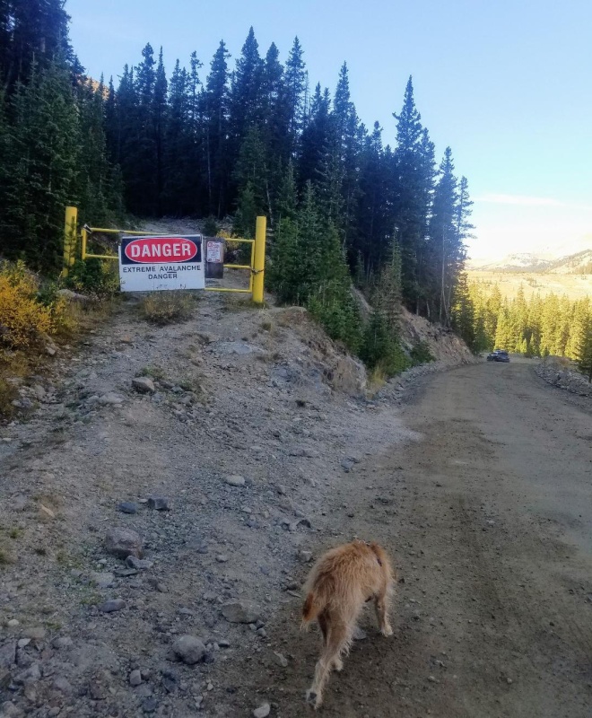
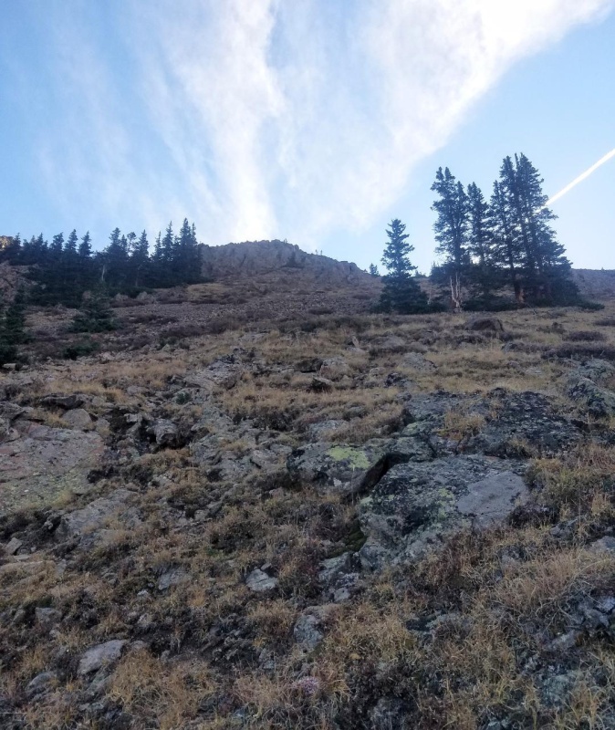
The road was an easy hike. A bit steep initially but nothing too bad. Our first goal was to find and climb the Northwest Ridge of Robeson Peak to its summit. There seems to be 101 ways to access this group of peaks with everyone seemingly doing something different and saying this is the way. Most of them involve some sort of scree gully or bushwack, so I decided to stick with the route I did last fall going up Robesons NW ridge which I thought had worked out pretty well. After reaching Robeson we would then climb Bard Peak by its Northeast slope. 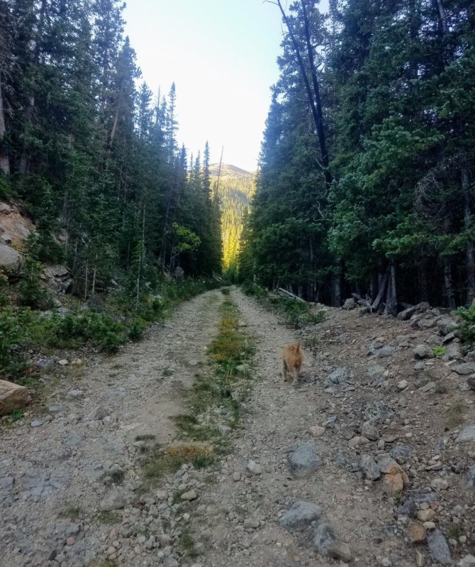
We made good time up the road and at a split we went left and eventually came to a small flat area. There were some old mining rails scattered about here. We left the road to the right and went up a steep embankment and then started following a faint trail through the woods. A short distance later we came out into a meadow and cut left to the base of Robesons NW Ridge. 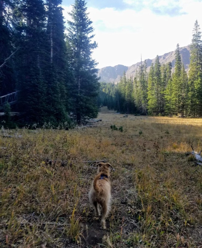
We had slightly passed the best place to access the ridge so we back tracked a bit not wanting to ascend a scree slope. We quickly found a nice, mostly grass slope and started up it instead. There was a log cabin remnant to the left. The slope was very steep to start but manageable, and led us directly to the ridge proper after a short distance. 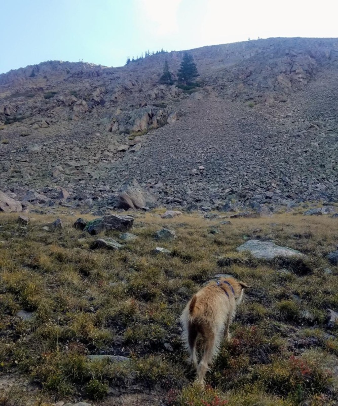
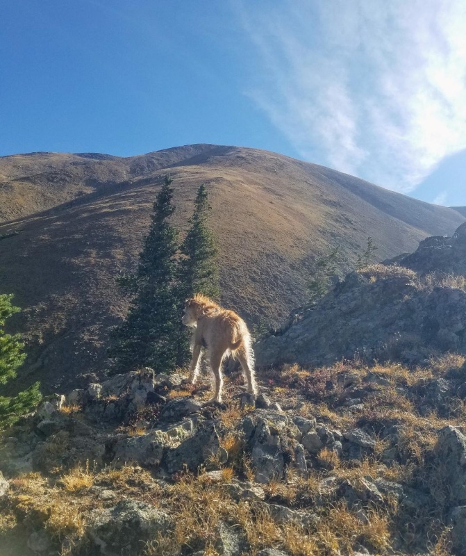
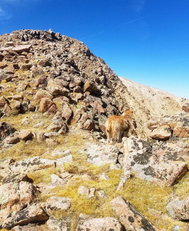
Once on the ridge we didn't waste time and started up. It was steep but easy class 2 terrain with a mix of rock piles and grass. I threw in lots of baby switchbacks to make it easier while admiring the great views of Parnassus and Leo effortlessly marched up leading the way. About half way up, the ridge widened into a large grassy slope making the final summit push easy. 
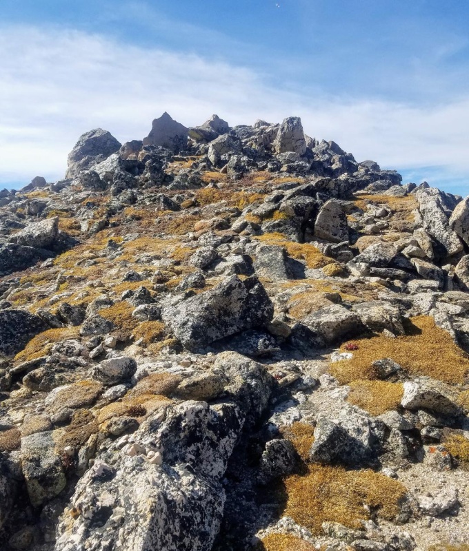
The high point of Robeson was pretty nondescript and only marked by a small cairn. We didn't stop as we hiked across the flat summit area and continued on towards Bard Peak. The descent off Robeson was fairly gradual and it didn't take long to reach the saddle where we began our climb up the North ridge of Bard. 
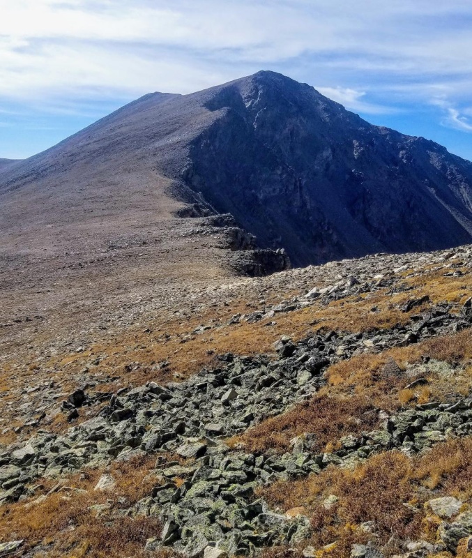
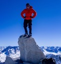
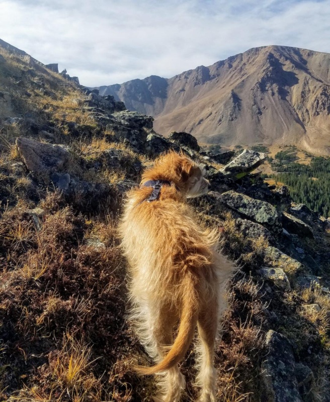
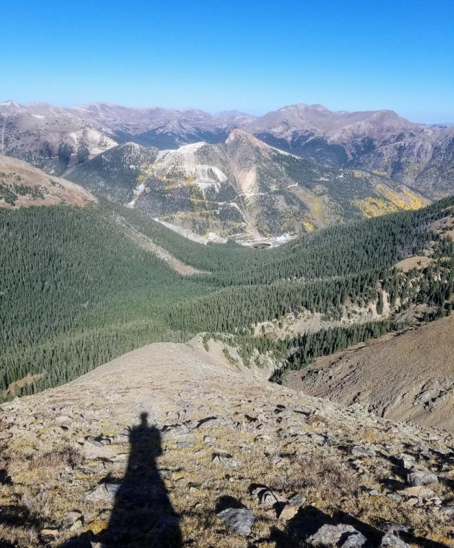
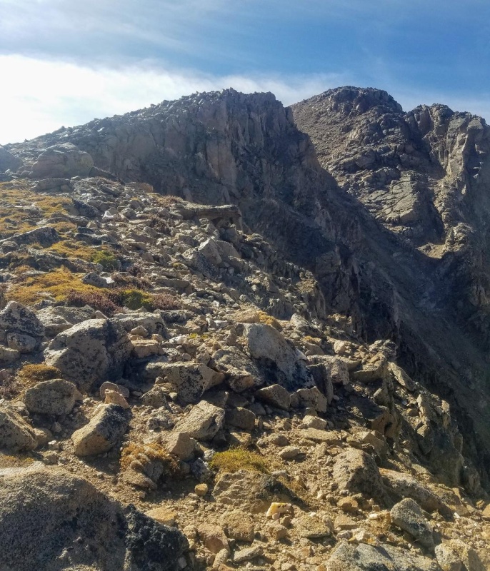
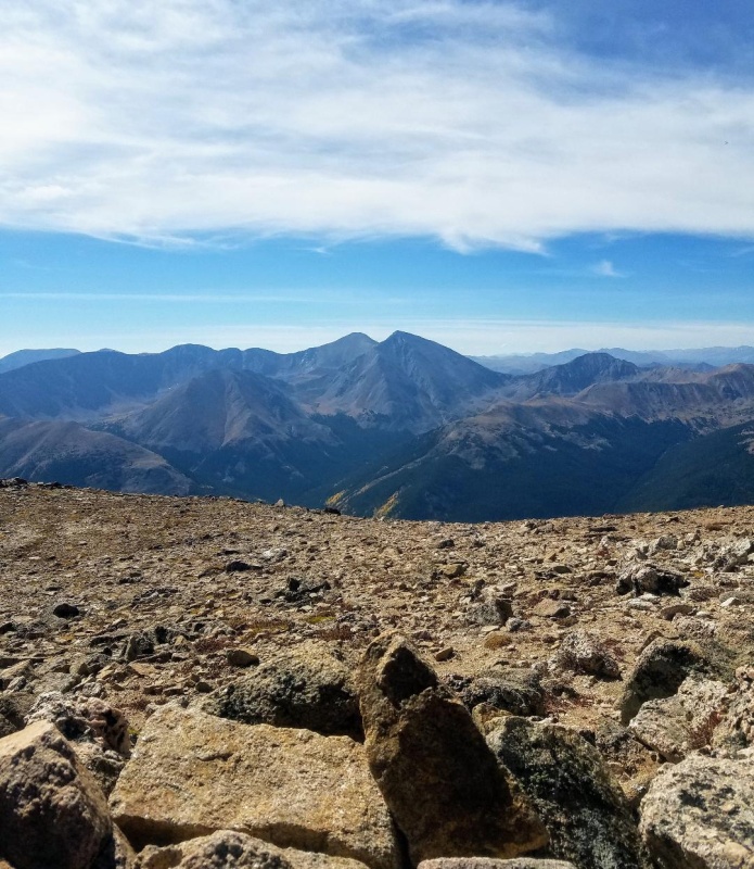
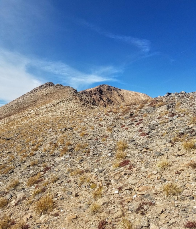
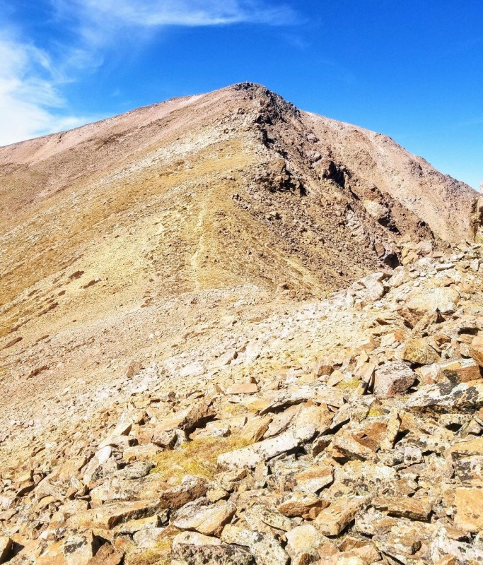
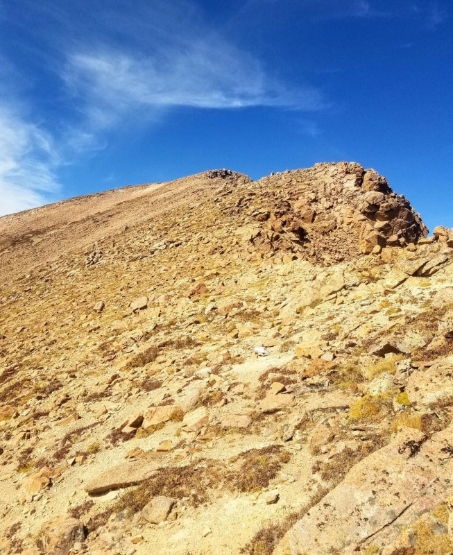
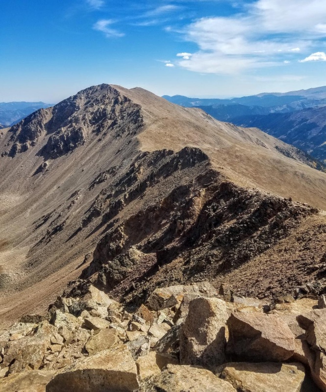
The climb up Bard was pretty simple class 2. There was no trail, but it was obvious where to go and we stayed close to the ridge line working our way up. The terrain got a little more rugged the higher we got, but the climbing remained easy to the rocky summit. It was great to finally be standing on Bard and the views of the surrounding peaks were fantastic, especially that of Torreys and Grays. 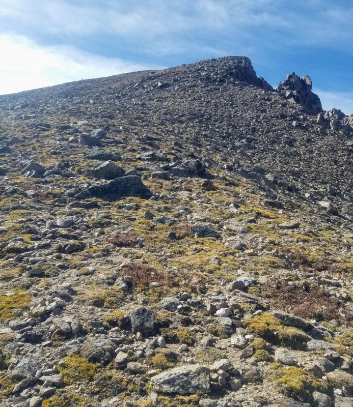
With my main goal accomplished I had a decision to make on my descent route. My original plan was to get Bard and then quickly head back over Englemann and down it's NW ridge to the trailhead for a quick day. Now, I'm looking at the traverse to Parnassus and it looks fun. I hadn't done it before, so I'm thinking maybe I'll head that way instead. I figured I might as well complete the loop (minus Englemann). This route might end up taking a little longer, but there looked to be a good descent route off Woods Mountain down a mining road. Either way, I had the time and the weather was perfect, so Parnassus was next. 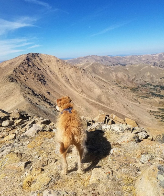
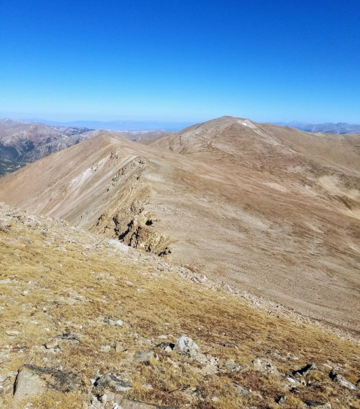
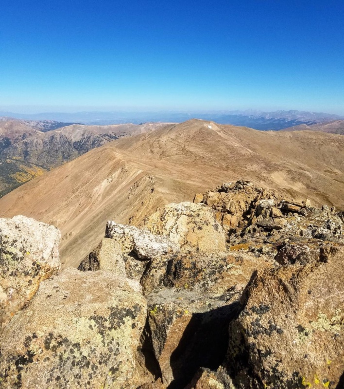
With my mind made up we descended off Bard following a nice trail. Surprisingly, we past two separate solo climbers going the opposite direction. The distance to Parnassus from Bard is approximately 1 mile over mostly easy terrain. We did get into a short talus hop as we approached the summit, but otherwise, we stayed mostly on a nice trail and made the summit in good time. 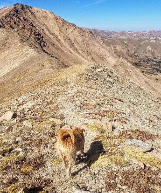
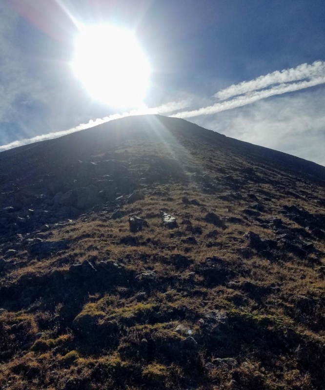
The climb to Parnassus went quickly and we enjoyed a nice break on our 3rd summit of the day. There was no wind to speak of and more great views of Torreys and Grays. We ended up lingering much longer than we should have, but the rest was good and we did eventually get going. Woods Mountain was next and we descended northwest off Parnassus. 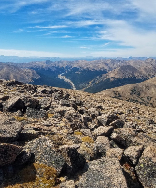
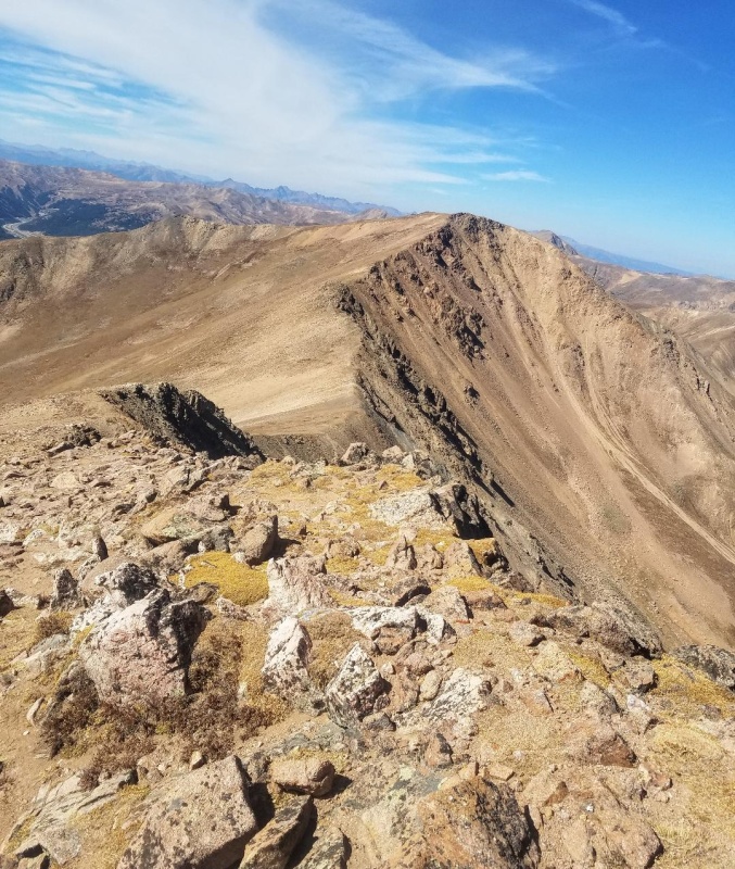
The descent down Parnassus went quickly with a trail part of the way. We then crossed a big, wide saddle before starting up Woods. There was a nice trail to follow on the mellow slopes of this 12er and we were on the summit in no time. I'm not exactly sure that was the actual summit though. There was a register and a large cairn marker, but it looked like there was a higher point just to the west. I didn't really care though and started hiking northeast towards the old mining road I had seen from Parnassus. I hoped it would lead us back to the road we started on. 

After leaving Woods Mountain we skirted underneath a point to the northeast and found the old mining road. There were several switchbacks and some mining ruins and then the road just disappeared. I'm not sure where it went, but I didn't look around much. Leo and I instead descended a short gully and then were below treeline and started bushwacking through the forest. Luckily, there were game trails to follow making it easier. We eventually found the 4wd road we had started the day on and took this back to the car. 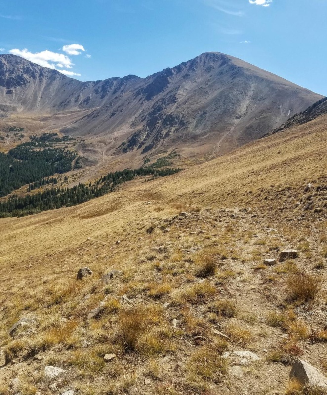
Thumbnails for uploaded photos (click to open slideshow): ")
")
")
")
")
")
")
")
")
")
")
")
")
")
")
")
")
")
")
")
")
")
")
")
")
")
")
")
")
")
")
")
")
")
|
| Comments or Questions | |||||||||||||||||||||
|---|---|---|---|---|---|---|---|---|---|---|---|---|---|---|---|---|---|---|---|---|---|
|
Caution: The information contained in this report may not be accurate and should not be the only resource used in preparation for your climb. Failure to have the necessary experience, physical conditioning, supplies or equipment can result in injury or death. 14ers.com and the author(s) of this report provide no warranties, either express or implied, that the information provided is accurate or reliable. By using the information provided, you agree to indemnify and hold harmless 14ers.com and the report author(s) with respect to any claims and demands against them, including any attorney fees and expenses. Please read the 14ers.com Safety and Disclaimer pages for more information.
Please respect private property: 14ers.com supports the rights of private landowners to determine how and by whom their land will be used. In Colorado, it is your responsibility to determine if land is private and to obtain the appropriate permission before entering the property.