| Report Type | Full |
| Peak(s) |
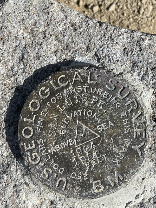
San Luis Peak - 14,023 feet |
| Date Posted | 10/24/2021 |
| Date Climbed | 09/26/2021 |
| Author | eaagaard |
| San Luis Northeast Ridge 09/26/2021 |
|---|
|
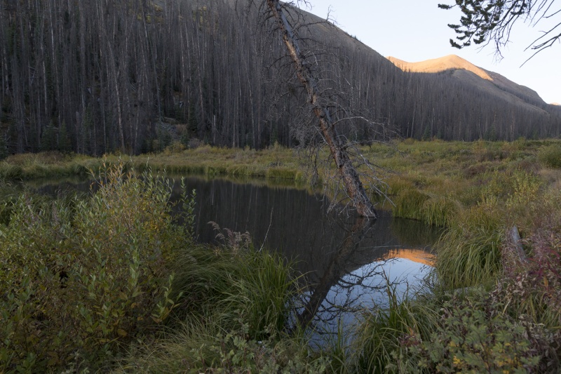
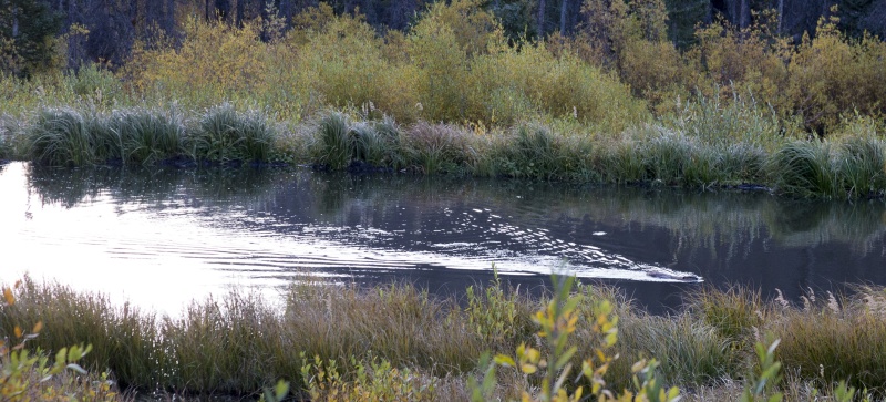
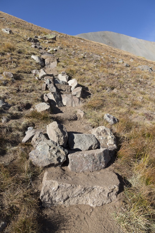
Intro I had ten days in Colorado, and I was committed to Chicago Basin on the fourth day. Coming from nearly sea level, I figured I should get at least a little bit of higher-altitude exertion under my belt before embarking on Chicago Basin. I had looked at San Luis Peak for a while, and the fact that it's so far from anything boded well for a solitary experience. Also, while no 14er is "easy" or a "slam dunk," this one appeared to be about as mellow as is possible for a mountain that pokes that far up into the atmosphere. So two days after I landed in Denver, I found myself leaving the South Fork area (highly recommend North Clear Creek Falls, and in fact the entire area, by the way!) The 40+ miles of dirt road to the Stewart Creek trailhead went quickly in the dark. In late September, neither creek crossing was an issue, although the first one comes up immediately past a sharp turn and feels just .. awkward. The Hike At the Stewart Creek trailhead, I was surprised to see probably 15+ vehicles crowded alongside the road. Prominent amongst them was a pickup truck with the CFI logo. I figured I'd meet a work crew the next morning somewhere on the trail. I drove on down the 1/4 mile to the next trailhead and went to sleep. The next morning I hit the trail around 6:15ish and was well into the first, flat part with beaver ponds by sunrise. I turned to look behind me and saw a beaver swimming across its pond - pretty neat!  
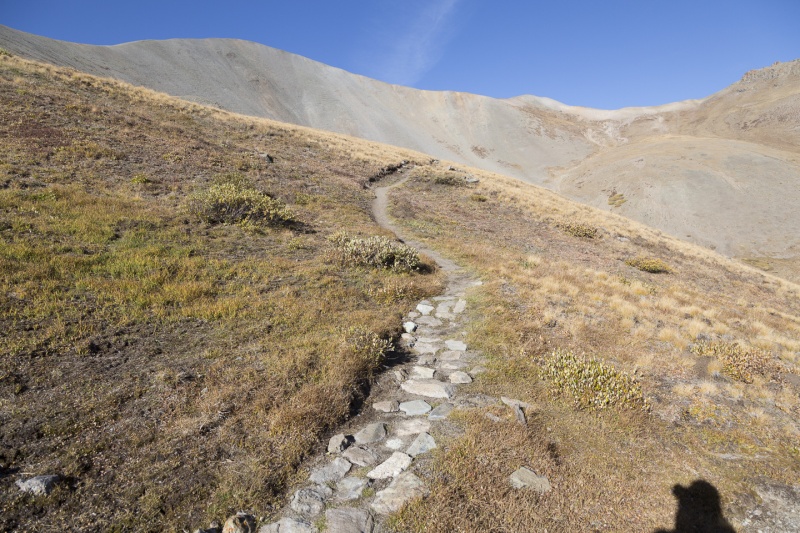
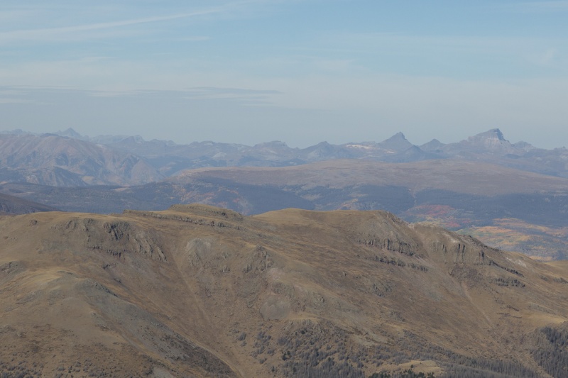
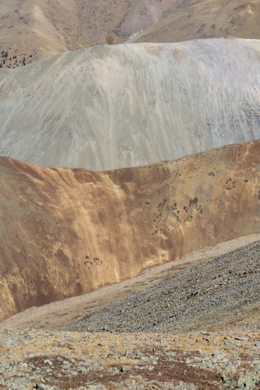
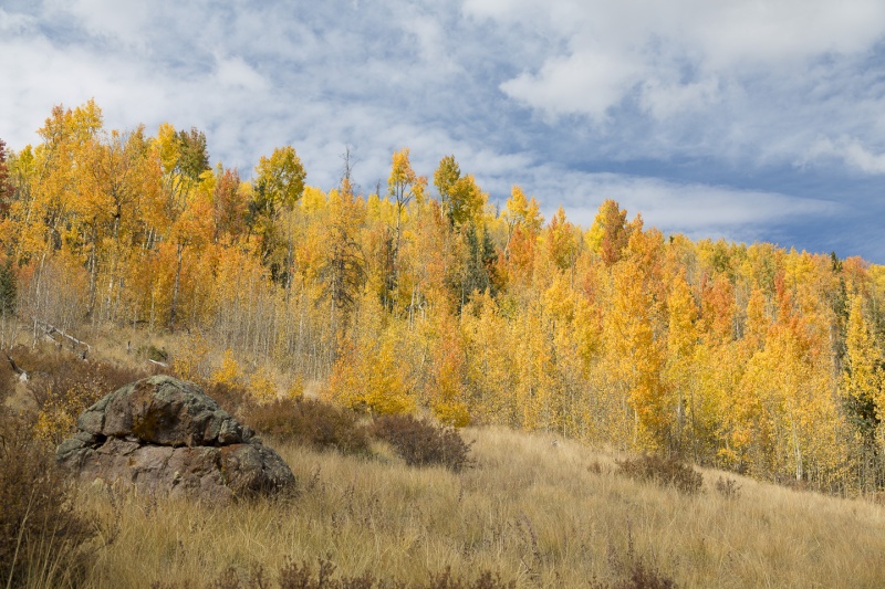
The trail appeared newly-maintained. I never did meet a large group of people, but the plentiful willows reaching above my head, but they were all cut well back from the trail. It felt like the time I drove over Independence Pass in a snowstorm, right behind the snowplow the whole way! Pretty awesome. The trail follows Stewart Creek up into the drainage. As we got higher, the trees thinned out and this was the primary view. I played leapfrog with the hikers in this photo. I'm sure many people have been disappointed when they realized that prominent peak is not, in fact, San Luis. No, San Luis is behind it and to the left, obscured by it, even further away! 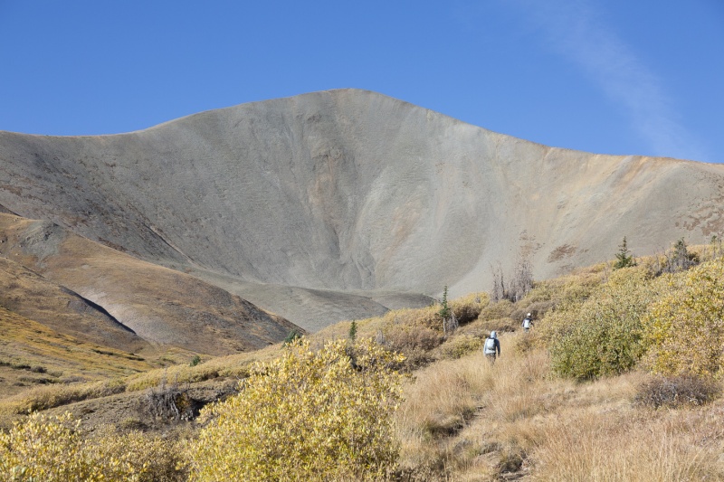
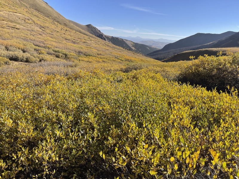
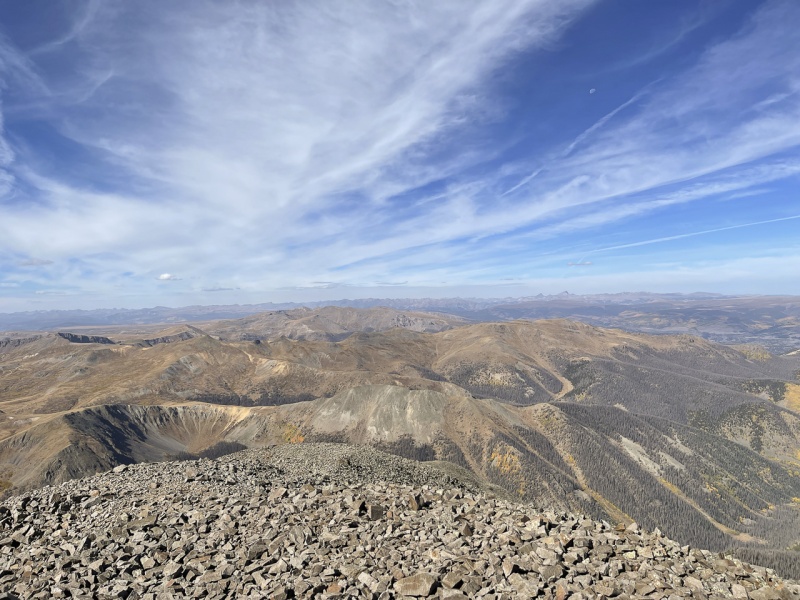
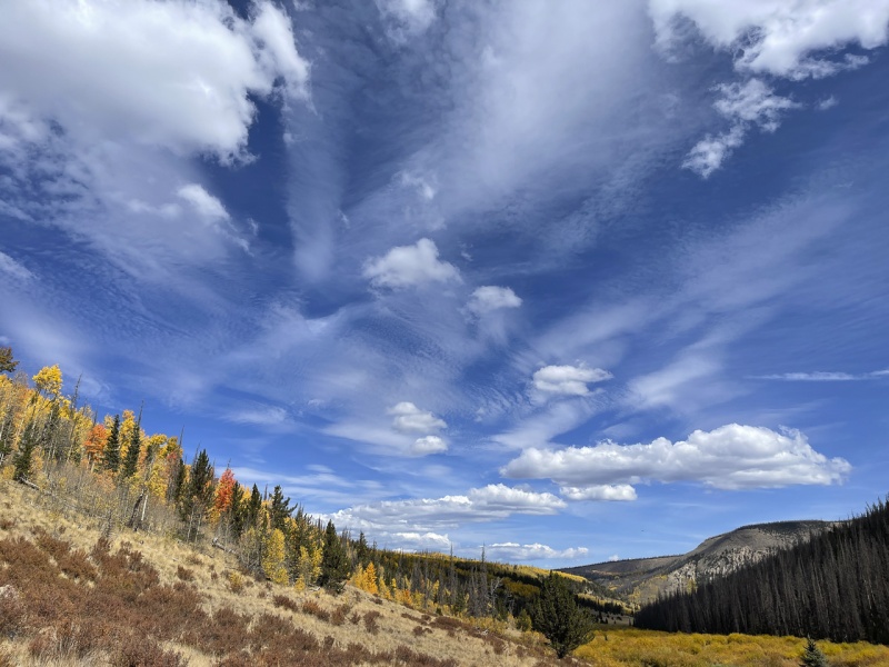
Once I gained the ridgeline, I could see what was obscured before - another ridgeline that ended in San Luis proper. Note the waning moon here. :-) 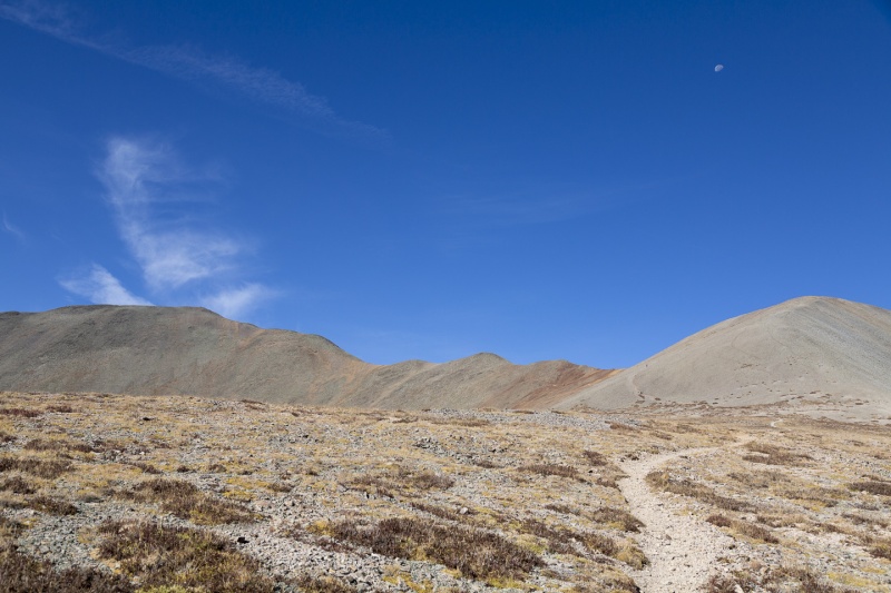
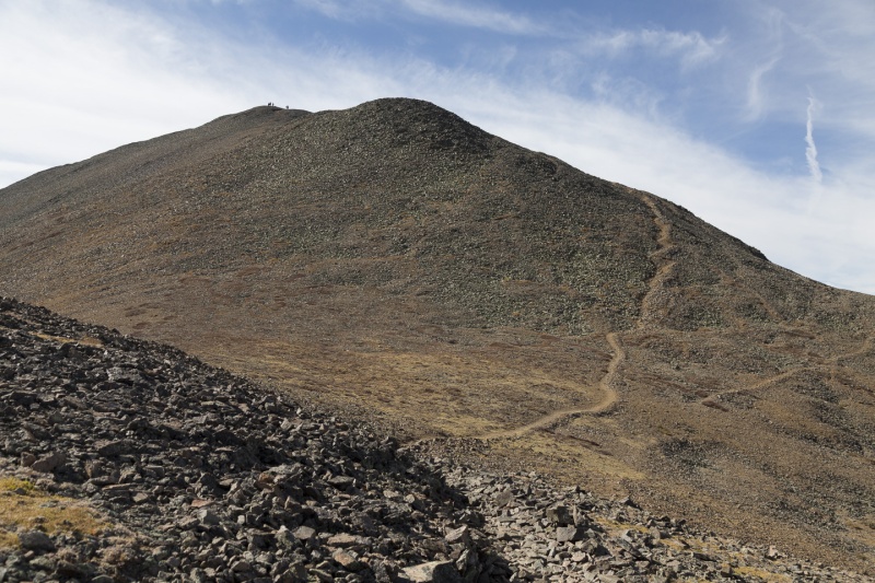
At this point, I was feeling the altitude. I'm fortunate to do pretty well at higher altitudes, but I wasn't quite there yet after only 2 days out of San Antonio. I sat about here and drank a ton of water and had a snack. As soon as I rested, I felt great again. So I took it slow from here, deliberately dialing back my pace and making myself stop and catch my breath. 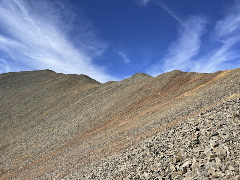
There was a group of people on the summit, and one of them offered to take a photo of me. So we traded phones, I snapped them, and they snapped me. 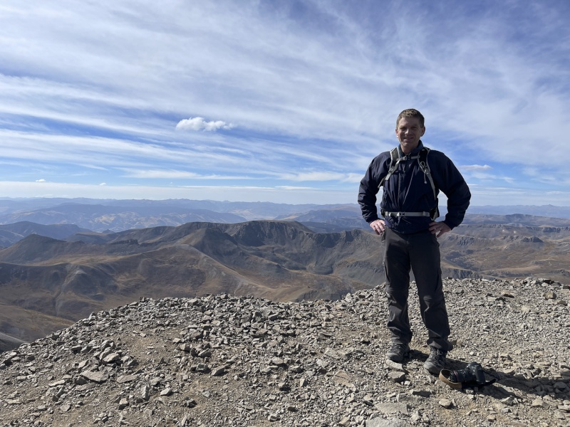
After rehydrating and enjoying the view for a while, I headed back down. 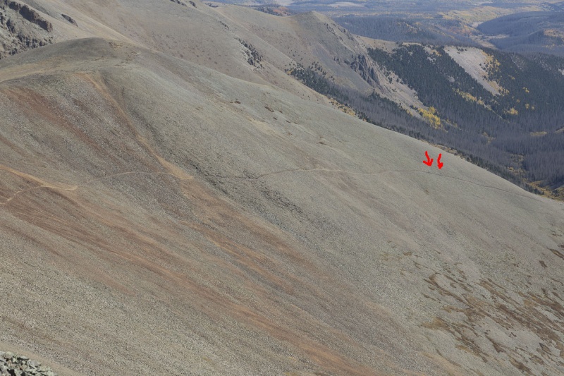

I was worn out when I finally got back to the trailhead. I'd gone about 14 miles and felt pretty good about how I handled it. Further adventures awaited in Chicago Basin! Thank you for reading. Thumbnails for uploaded photos (click to open slideshow): ")
")
")
")
")
")
")
")
")
")
")
")
")
")
")
")
")
")
")
")
")
")
")
")
")
|
| Comments or Questions |
|---|
|
|
Caution: The information contained in this report may not be accurate and should not be the only resource used in preparation for your climb. Failure to have the necessary experience, physical conditioning, supplies or equipment can result in injury or death. 14ers.com and the author(s) of this report provide no warranties, either express or implied, that the information provided is accurate or reliable. By using the information provided, you agree to indemnify and hold harmless 14ers.com and the report author(s) with respect to any claims and demands against them, including any attorney fees and expenses. Please read the 14ers.com Safety and Disclaimer pages for more information.
Please respect private property: 14ers.com supports the rights of private landowners to determine how and by whom their land will be used. In Colorado, it is your responsibility to determine if land is private and to obtain the appropriate permission before entering the property.

