| Report Type | Full |
| Peak(s) |
Mt. Belford - 14,202 feet La Plata Peak - 14,344 feet Huron Peak - 14,006 feet Mt. Oxford - 14,158 feet Mt. Yale - 14,200 feet Browns Peak - 13,526 feet |
| Date Posted | 08/10/2022 |
| Modified | 05/09/2024 |
| Date Climbed | 08/04/2022 |
| Author | Hiking_TheRockies |
| Sawatch Shenanigans |
|---|
|
Sawatch Trip 2022 La Plata, Huron, Belford, Oxford, and Yale Total Mileage - 37.5 Over the years, I’ve learned more and more about the Colorado 14ers and strived to climb them. The majority of my summits thus far have been day trips, and I’ve never gotten to spend more than a night to climb some of these beautiful and challenging peaks. Luckily, a window of time opened up this summer for my dad, friend and I to take an eight day vacation to Buena Vista to try to knock out some 14ers. The original plan was nine fourteeners, the ones we did this trips plus Harvard, Columbia, Shavano, and Tabeguache. However, we quickly realized that hiking 14ers back to back to back is challenging on the muscles and overall very tiring. Even if I wasn’t sore the next day, I felt tired and slow from the previous hike. Hike 1 - La Plata We decided that because my dad had not been hiking as much as me so far this summer, we would start with a “warm up hike” to kick things off. We chose the Southwest Ridge route on La Plata peak for an easy start. After doing that hike, “easy” is not the way I would put it. 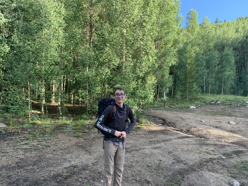
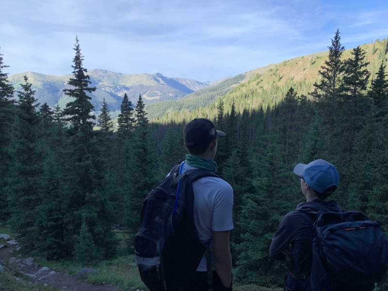
Out of the trailhead, we hiked a couple hundred yards up a rough road that goes to the sign below the trail. From here we followed the trail up through the trees, which follows near a creek all the way up into the basin above tree line. We periodically got views through the trees towards Huron and the Three Apostles, which was very beautiful. The trail up through the trees is not too long, probably a mile or less, before you emerge into the basin that you will eventually climb out of. The trail is not too steep and in pretty good shape. 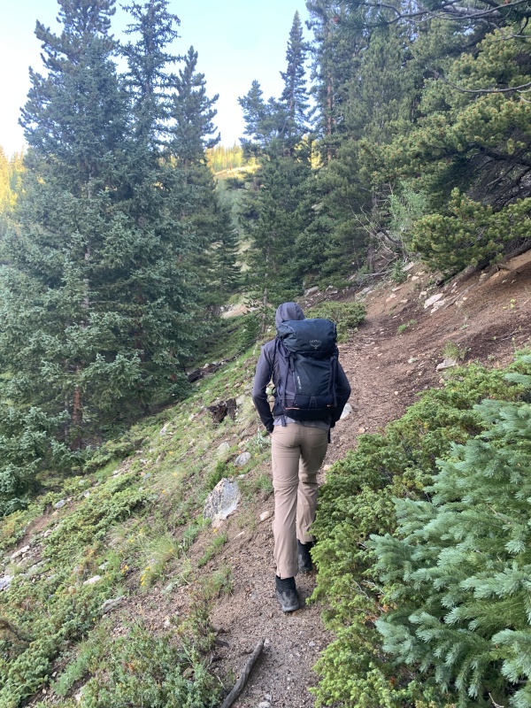
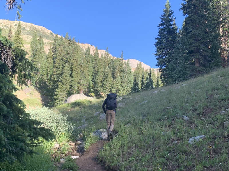
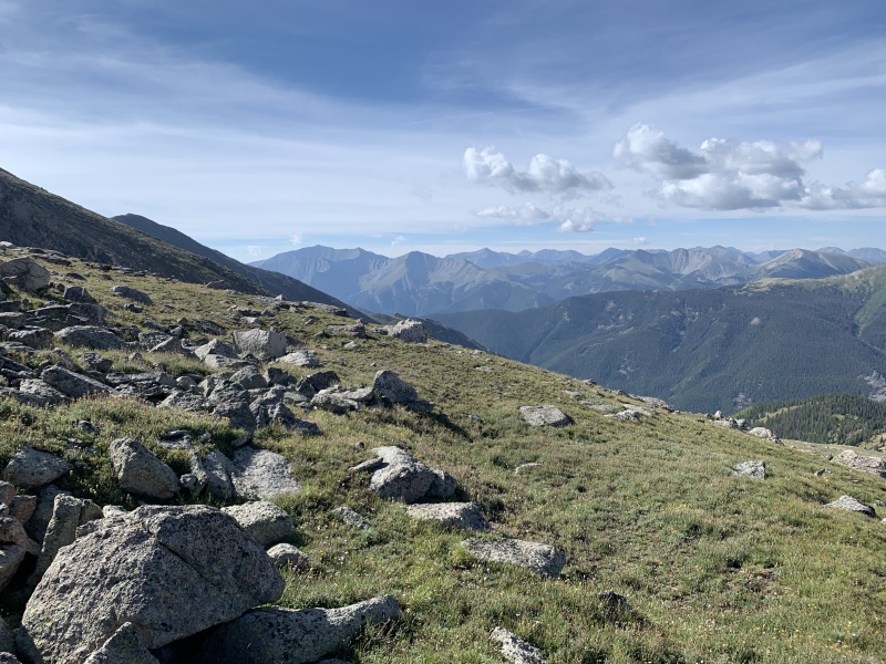
The basin is really pretty once you get up above tree line. The trail goes up towards the back end of the basin while crossing a stream a couple of times. Some sections were really muddy while we were there. 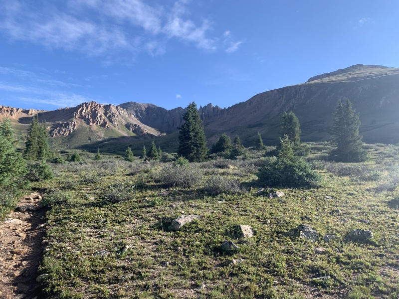

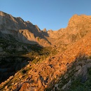
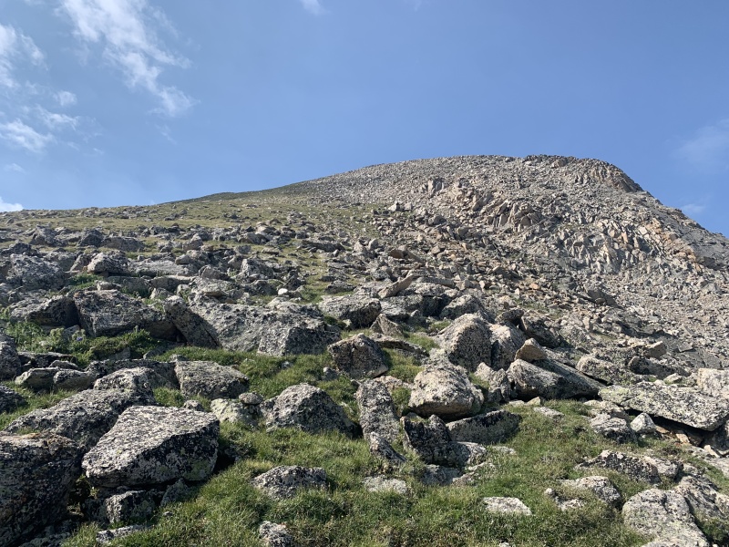
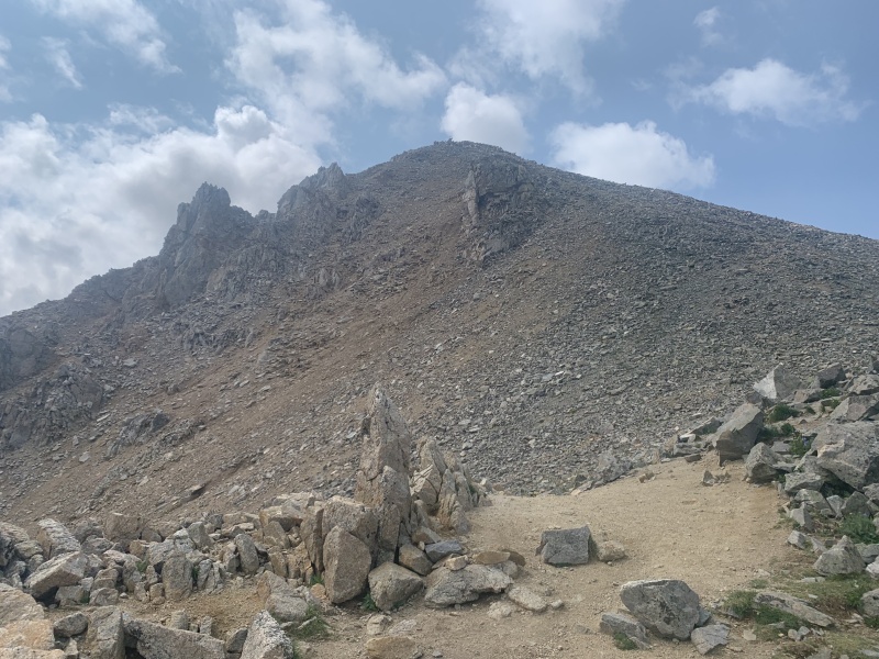
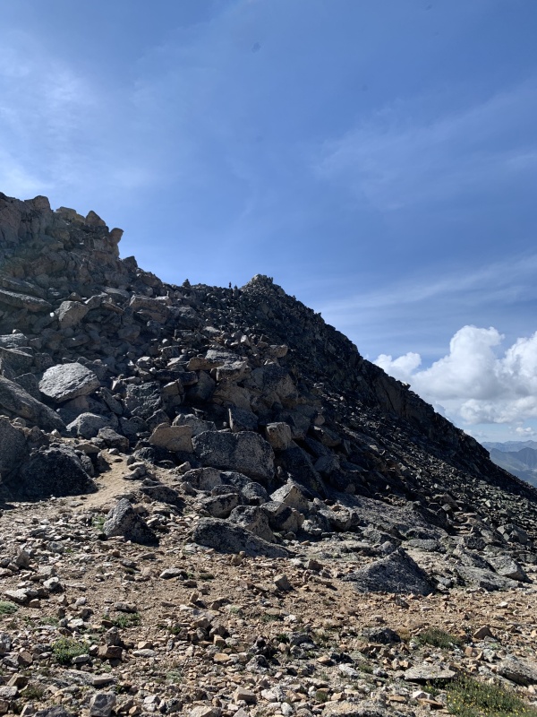
After taking the dirt and scree trail, you rise to a saddle that shows the trail that leads to the hardest part of the hike—a large, steep climb up to the La Plata summit ridge. From the saddle, the views are very nice and it is easy to see the trail to the upcoming rock scramble. While ascending the steep face, there are a number of community trails that we took, some marked by cairns. It is a lot easier to take these paths than go straight up the rocks. 
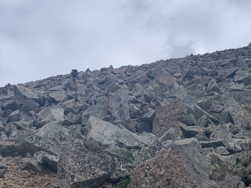
After the rock scramble for about 1000 ft, we topped out near the summit ridge. It took us about fifteen or so minutes from there to get to the summit. 
The descent provided more good views, but it was also challenging to descend the 2000+ feet of rocks and dirt that took us down to the basin. The descent from the saddle down into the basin was especially difficult, because the dirt and scree was really easy-moving, so I slipped a lot on the way down. The descent was beautiful, however, and we got some cool photos. From there, we descended back into the trees and returned to our car. 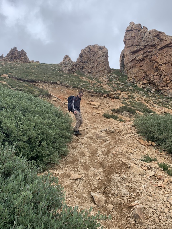

This was a tough seven miles, but the views made it worth it. La Plata was a tiring but fun hike! We took a rest day before doing our next hike, the Tour de Huron. Hike 2 - Tour de Huron We drove up from Buena Vista at around 6 am and got to the Upper 2WD trailhead at Winfield a little past 7. The road there was bumpy but do-able 2WD. From the 2WD trailhead, we hiked a little bit down the 4WD road before turning left to follow the old Jeep road to Lulu Gulch. The road is mildly steep but not challenging, and provides some good views once you get near treeline. Pretty far up the road, there is a split that provides the options to go straight or left. We went left to take the now abandoned portion of the Jeep road into Lulu Gulch. 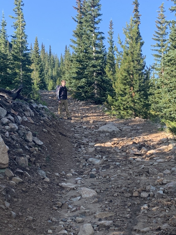
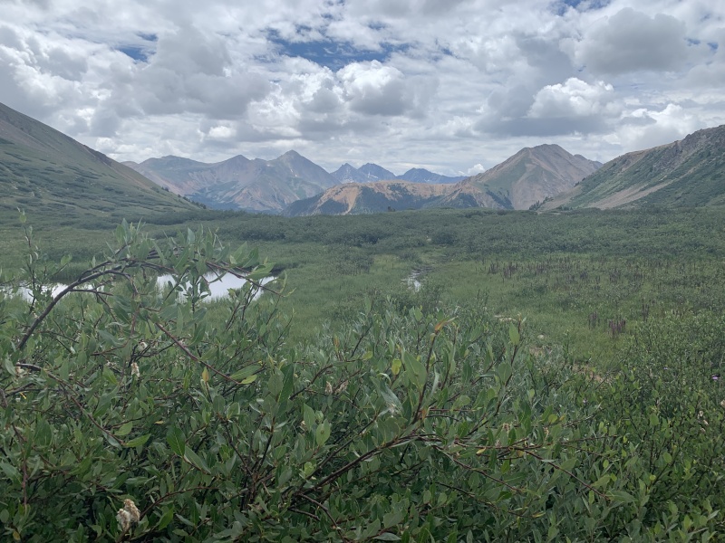
We hiked a bit further past the road split and finally rose above treeline to get a view of Lulu Gulch. The entire area is really scenic and it is pretty easy to see the route up Browns Peak, which is the way we chose to go (as opposed to following the road up Middle Mountains and going to Browns Peak from there). We followed the road across the basin, where there is eventually a prominent switchback that turns back towards the valley you came from and heads up the side of Middle Mountain. This is where we left the road to begin our way towards Browns Peak. 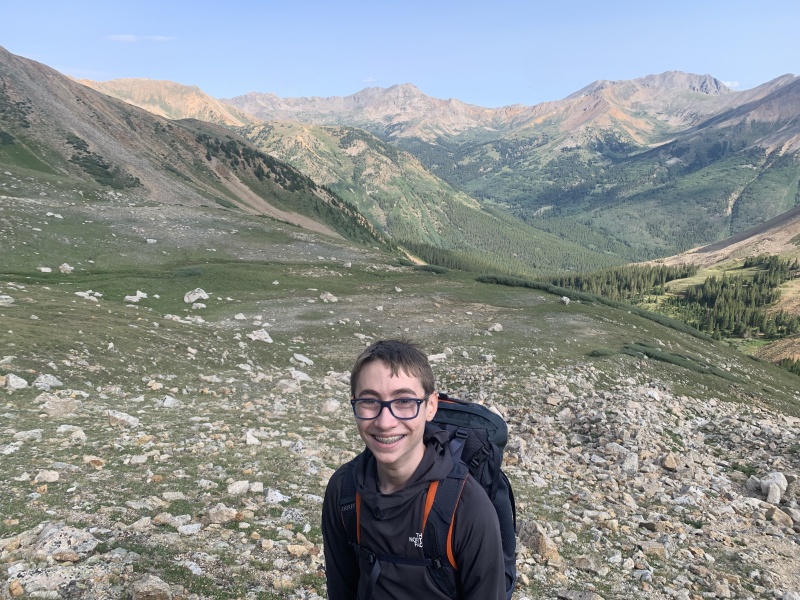

After reaching the top of the slopes, we hiked up the nicer and gentler ridge to the summit of Browns Peak, where we got a nice view towards Huron. From here we hiked along the side of the connecting ridge and joined with the Huron Trail to make a final push to the summit. 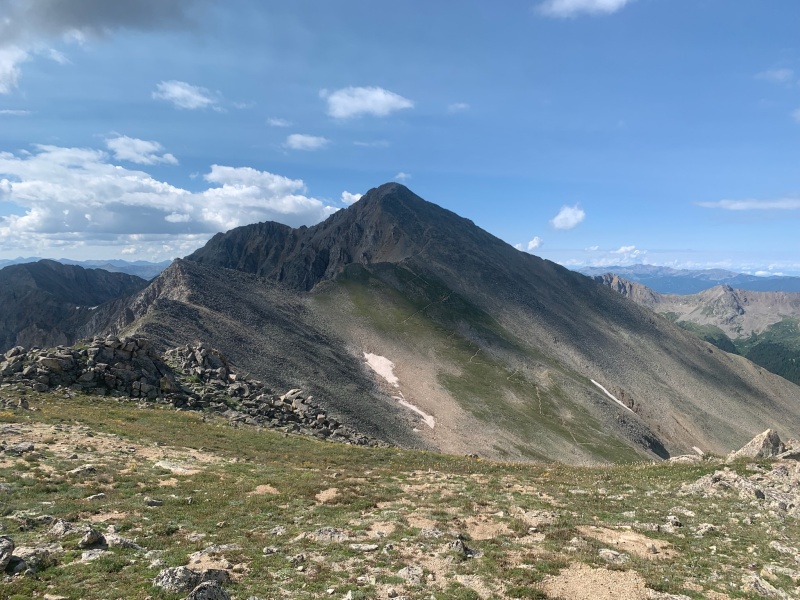
The 400ish feet to the summit were steep and difficult, but we made it up in 10ish minutes from where we joined the Huron trail. Weather was building fast, so we snapped some quick photos and got down. 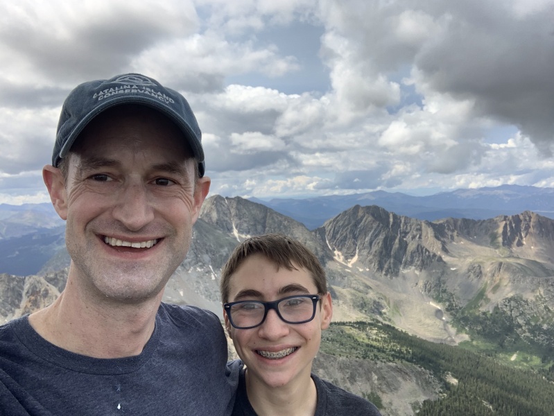
On the way down, we saw a mountain goat in the spot Photo #19 was taken (two photos back). We decided that going all the way back to Lulu Gulch was dangerous in the building weather, so we took the standard trail back down Huron. Once we got about 1500 feet below the summit, there was a nice open meadow that we ate lunch in. The weather luckily held on our descent and we actually didn't get any rain at all. 
We descended back to the 4WD trailhead, where we had around a 1.75 mile walk back to the 2WD trailhead, where we parked, making this trip a full Tour de Huron. Despite the difficult ascent to Browns Peak and Huron, the entire hike was beautiful and I would defiantly do it again. Additionally, we saw NOBODY until we joined with the Huron trail, so we had all of Lulu Gulch to ourselves... on a Sunday! Hike 3 - Belford & Oxford On my original, ambitious itinerary, we planned to add Missouri into the mix to do a triple 14er day, but after La Plata and Huron, we decided that we would have to do Missouri another day. Despite taking a 14er off our hike, this hike was still pretty strenuous. We were thankful to be parking at Missouri Gulch Trailhead instead of going all the way to Winfield, and we were able to wake up a bit later than normal. We also got to see what I believe was the start of Section 2 of the Trans Rockies Run, which was scheduled for that day. We got there as the people were setting up signage and a starting line, and later in the hike we heard cheers coming from down the valley. 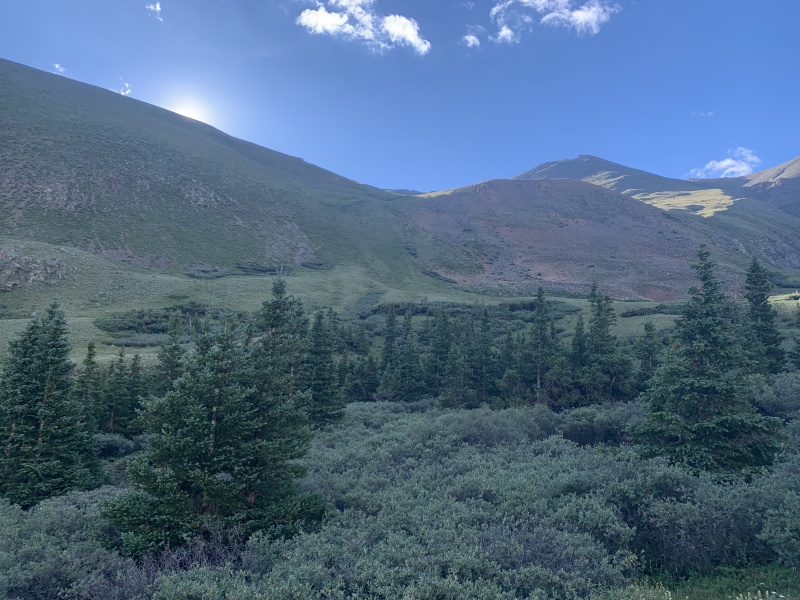

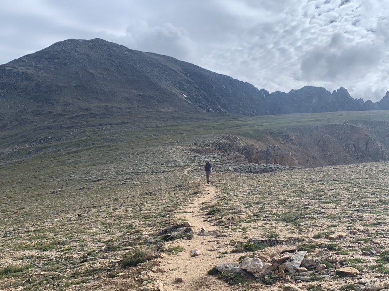
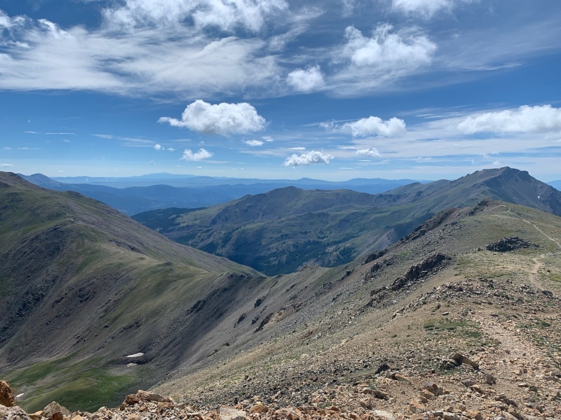
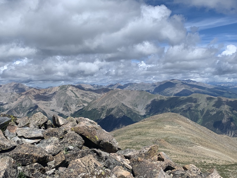
A couple hundred feet above treeline, we started the climb up Belford. It's just one massive, tough push all the way to the summit, and it took us more than an hour to get all the way to the summit. The climb starts after you go down into a stream bed and back up. The views get nicer the higher up you go, but getting up to Belford was defiantly not easy. After hiking up the trail for what seemed like an eternity, we finally reached the summit, where we ate snacks and got some nice views of Missouri. 
After summiting Belford, we began the traverse to Oxford. This was definitely the most strenuous part of the hike, as going up Oxford and then back up Belford again added up to something like 2000 extra feet of elevation gain. The traverse had a decent trail, but the wind was terrible at the saddle we crossed over. Additionally, large, dark clouds were building near us. We summited Oxford and did our best to book it on the way back to Belford, but the steep trail slowed us down. We managed to get back up, but our energy was pretty spent. Doing Missouri in addition to these two peaks would have definitely been challenging. 

On the way back down, our luck ran out and we got completely dumped on. Rain, hail, and sleet bombarded us all the way down to treeline, so I sadly don't have any photos from this point of the hike. Going down the side of Belford in the rain made everything slippery, and we took a long time getting down. The experience was annoying, but we were lucky to not slip on the slick rocks. We hiked out to the trailhead, which was nice compared to the difficult uphill and pouring rain that the majority of our hike had consisted of thus far. The Trans Rockies Run was all packed up, and we had the place to ourselves. We changed out of our wet hiking boots, which literally had puddles in them, and drove back to Buena Vista. Hike 4 - Yale Surprisingly, the last 14er we did turned out the be the easiest. We decided to do the standard route up Mt. Yale, on which we were joined by my friend. We were at the trailhead around 6:45, where we saw the CFI doing some trail work. Thanks guys! 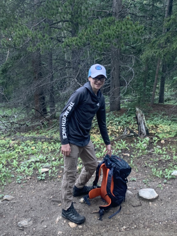
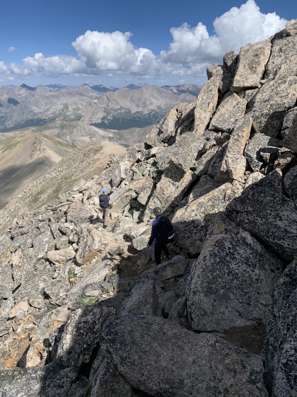
From above treeline, we had one tough push to get to 13,900', which didn't take us too long. We saw a number of Pikas on the way up, including one that ran across the trail directly in front of where I was walking and scared the living daylights out of me. We saw more people around here, and passed a couple of people who were heading down. But compared to a summer day on Bierstadt, this was a pretty empty trail. The biggest concentration of people was at this flat point before you turn right and start up the summit ridge. We saw three or four groups chilling out around here. 
I believe there is an intended way to follow the ridge to get to the summit, be we just scrambled along the left side on Class 2 and light Class 3 terrain. We had some fun hoisting ourselves over rocks as we made our way to the summit, which we reached after ten or so minutes. 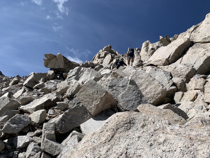
We ate food at the summit and started heading down. The descent was definitely the best part of this hike because my friend and I ran all the way down to treeline, like maniacs. The we decided to do some trail-parkour, where I am proud to say I did a string of jumps into a 180-degree-spin off a log, where I subsequently landed wrong and completely wiped out (it was awesome). After that, our knees were practically mush so we walked the remainder of the way down. We ultimately had a great time on this hike, and it was my favorite of the whole trip! 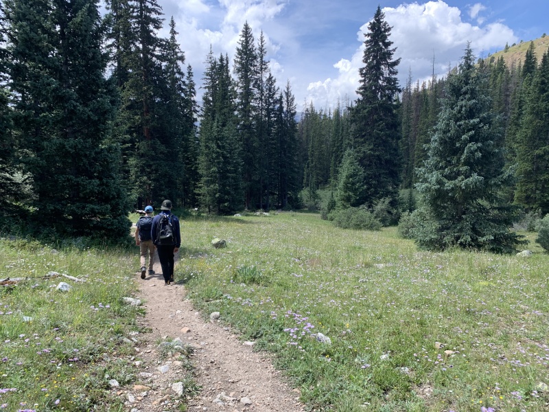
This trip was one of the best experiences I've ever had in the mountains. I'm excited to come back to this area another year to try to get the remaining nine Sawatch 14ers. I had such an amazing time, and I hope this trip report illustrated that. Thank you so much for reading and happy trails!! Thumbnails for uploaded photos (click to open slideshow): ")
")
")
")
")
")
")
")
")
")
")
")
")
")
")
")
")
")
")
")
")
")
")
")
")
")
")
")
")
")
")
")
")
")
")
")
")
")
")
")
")
")
")
|
| Comments or Questions | |||||||||||||||
|---|---|---|---|---|---|---|---|---|---|---|---|---|---|---|---|
|
Caution: The information contained in this report may not be accurate and should not be the only resource used in preparation for your climb. Failure to have the necessary experience, physical conditioning, supplies or equipment can result in injury or death. 14ers.com and the author(s) of this report provide no warranties, either express or implied, that the information provided is accurate or reliable. By using the information provided, you agree to indemnify and hold harmless 14ers.com and the report author(s) with respect to any claims and demands against them, including any attorney fees and expenses. Please read the 14ers.com Safety and Disclaimer pages for more information.
Please respect private property: 14ers.com supports the rights of private landowners to determine how and by whom their land will be used. In Colorado, it is your responsibility to determine if land is private and to obtain the appropriate permission before entering the property.