Download Agreement, Release, and Acknowledgement of Risk:
You (the person requesting this file download) fully understand mountain climbing ("Activity") involves risks and dangers of serious bodily injury, including permanent disability, paralysis, and death ("Risks") and you fully accept and assume all such risks and all responsibility for losses, costs, and damages you incur as a result of your participation in this Activity.
You acknowledge that information in the file you have chosen to download may not be accurate and may contain errors. You agree to assume all risks when using this information and agree to release and discharge 14ers.com, 14ers Inc. and the author(s) of such information (collectively, the "Released Parties").
You hereby discharge the Released Parties from all damages, actions, claims and liabilities of any nature, specifically including, but not limited to, damages, actions, claims and liabilities arising from or related to the negligence of the Released Parties. You further agree to indemnify, hold harmless and defend 14ers.com, 14ers Inc. and each of the other Released Parties from and against any loss, damage, liability and expense, including costs and attorney fees, incurred by 14ers.com, 14ers Inc. or any of the other Released Parties as a result of you using information provided on the 14ers.com or 14ers Inc. websites.
You have read this agreement, fully understand its terms and intend it to be a complete and unconditional release of all liability to the greatest extent allowed by law and agree that if any portion of this agreement is held to be invalid the balance, notwithstanding, shall continue in full force and effect.
By clicking "OK" you agree to these terms. If you DO NOT agree, click "Cancel"...
Alpine snow climbing is probably my favorite style of climbing in the mountains, so I've been anxiously awaiting next spring to be able to get back out into steep snow, especially on skis. However, after hearing about Colorado's somewhat elusive fall couloir season, I had my eye on conditions up high in hopes of sneaking in a fall climb. After the most recent snow storm, it seemed like northern aspects in the Sawatch range were promising. Lately, I've been partial to interesting 14er routes that also include centennial 13ers; after poking through peak condition report to see where the best snow might be, I settled on the north face of Missouri Mountain, with jaunts over to Iowa Peak and Emerald Peak.
I had skied the north face of Missouri last April and had a blast, so I was seriously considering a ski attempt this time around, but deemed the ski haul to be too long. I'm very glad to have left the skis at home; the shark fins would have made the descent very dangerous, if not impossible.
During last spring's ski descent, I triggered a thin wind slab/sluff on a ski cut (less than 2 inches deep) that slid on a bulletproof consolidated surface down most of the couloir. It wasn't anywhere near big enough to bury anyone, but still spooky nonetheless. Coupled with the recent avalanche on a similar aspect near Independence Pass, I knew that snowpack evaluation would be important, even in October.
Now that the exposition is out of the way, onto the climb:
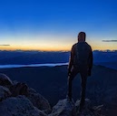
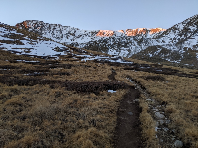
I started driving out to the Missouri Gulch trailhead in the wee hours of the morning. The final dirt road was in washboard condition, but nothing that the alpine Prius couldn't handle. I started up the trail shortly after 5:30, making pretty decent time. Given that the clocks haven't changed yet, a very late sunrise was in store (after 7). As dawn started hitting the gulch, I was greeted by a welcome sight: the north face was holding a decent amount of snow.
Alpenglow on Missouri
I ascended 2 switchbacks on the Missouri side of the Missouri/Elkhead junction before heading straight up the steep talus field into the amphitheater at 12.8k.
In the amphitheater
This photo shows the 4 primary couloirs on the north face. I had initially been planning to ascend either main couloir or the C couloir (second from the right, and rightmost, respectively); however, walking through the snow in this talus field made it clear that the directly northern aspects were unpleasant loose powder. Additionally, the C couloir had a slope that seemed big enough to have a consequential slab. So, I opted to start up the leftmost real couloir in the photo, mostly due to its more western aspect (the slope at the base points right in the photo, not straight at the camera). I walked up to the base, donned crampons and a helmet, grabbed my axe, and started up.
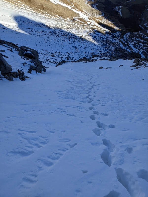
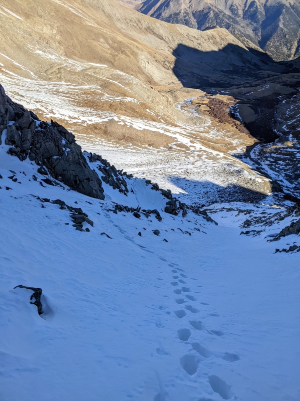
My approximate route (taken on descent)
The more north-facing snow at the base ranged from fairly loose powder to just straight-up facet wading, making for slow progress. Climbing unconsolidated steep snow is a real sisyphus-esque task. As I reached the more northwest aspect, the snow turned to perhaps 8 inches of snow, on top of a thin sheet of ice and very consolidated snow, on top of rock slabs; though a bit less secure, this section was somewhat frontpoint-able, making for faster progress. The ice/snow layer also seemed like it would allow for an arrest if a slip were to have occurred.
Top of the NW aspect
The couloir arched right and started facing more north, meaning that the posthole madness resumed. I climbed for maybe 200-300 more feet (mostly postholing, but sometimes punching through to rocks).
Exhausting progress
You may be raising an eyebrow at how the snowpack looks in that photo. Around this point, I noticed an abrupt shift in the snow: there was a bit more of a cohesive slab on top of the endless facet layer. The slab wasn't as thick as it looks in that photo, but I still wasn't a fan. So, I decided to switch to the rock spine to climber's right of the couloir. A few fun mixed moves perched on just a front point gave way to much easier rock terrain.
Above the mixed moves
Eventually, the snow in the couloir started thinning out a little and appearing a little more reasonable and less consequential, so I decided to hop back in.
Traversing back into the couloir
Right before the snow ended in the couloir, I noticed a VERY dense but thin (1-2 inches) slab in the top of the snowpack. It was so dense that I could yank off huge chunks of it. I exited back onto the spine and tossed a few rocks in to see if the little slab would slide; I couldn't get anything to move.
Where I started pulling off chunks of slab (the snow ends just above this)
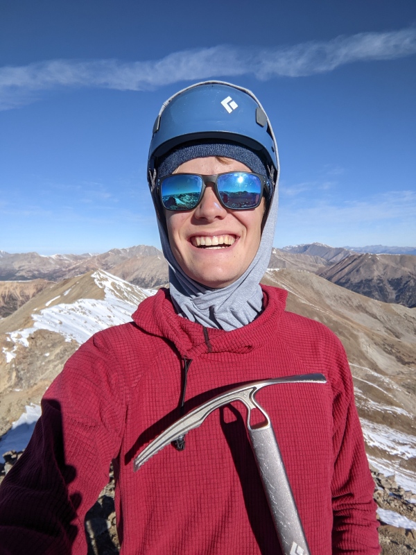
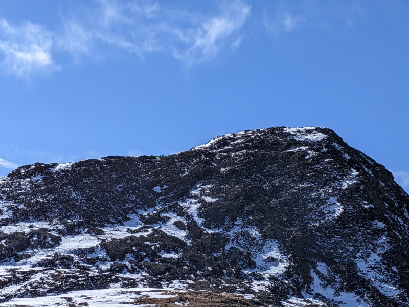
I traversed the rock spine, a short snow field, and one more rock spine before popping out on the summit ridge. A quick ridge walk led to a beautifully warm summit.
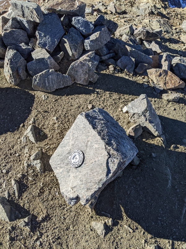
Looking down the C couloirSummit markerOn the summit
That concluded my first non-spring couloir climb. I found the snow surprisingly reasonable, and not too sketchy. However, I think the next big storm that rolls through may very well turn that face into an avalanche death trap.
Now, time to pack up the axe and crampons and head over to Iowa and Emerald.
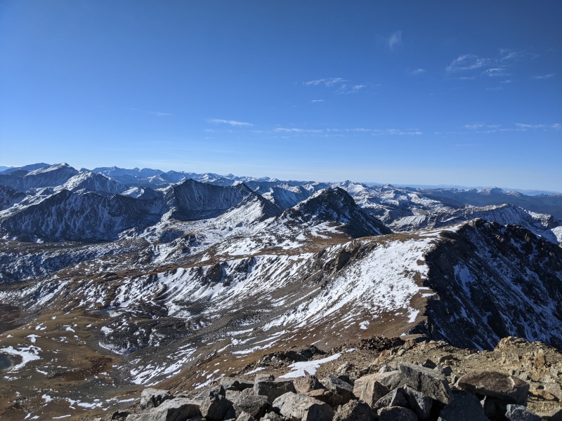
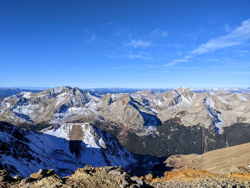
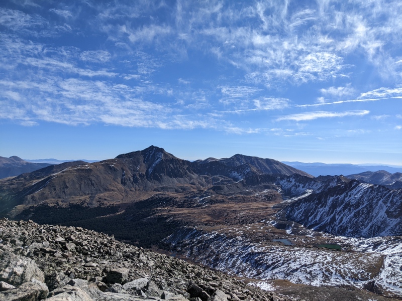
Looking towards Iowa and EmeraldBonus photo of the Huron group
A straightforward, mostly dry ridge walk led to Iowa Peak (I believe either soft-ranked or unranked?).
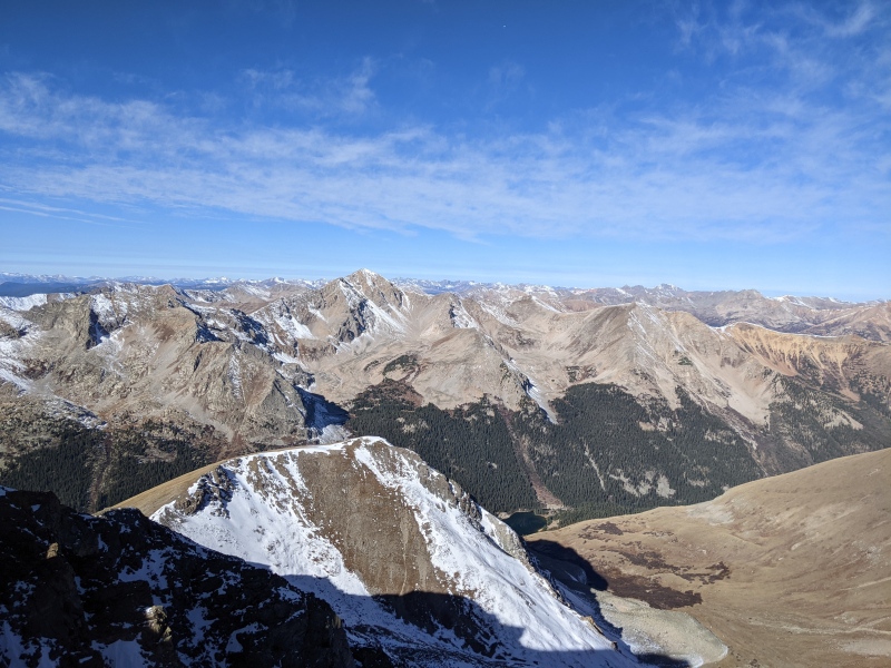
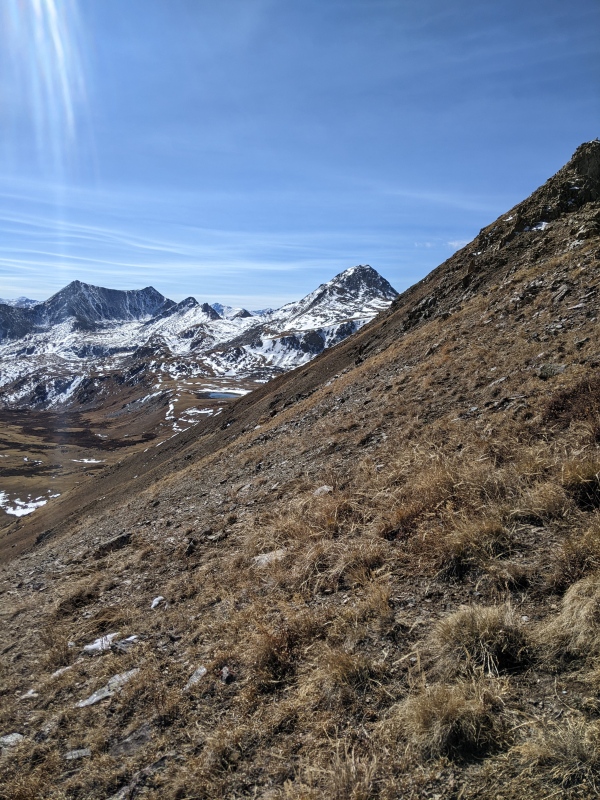
Looking back on Missouri with Belford in the backgroundHuron with the Elks in the background
Every once in a while, it's possible to find unbelievable silence in the mountains. Standing atop Iowa, on a warm and windless day, I had a few moments of that kind of silence. I watched a group stand on top of Emerald, talking to one another, and I could hear them chatting, despite being nearly a mile away. Wow, the mountains are neat. I started to head over to Emerald.
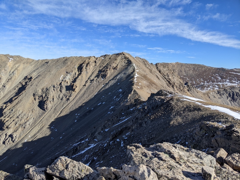
A trio descended the Emerald ridge
The ascend up Emerald includes some obnoxious talus-hopping, but it's short-lived.
A little while later, I topped out.
On Emerald, looking at Harvard and Columbia
While the actual climb of Emerald was nothing special, the surrounding area and peaks, coupled with its remoteness is quite neat.
Looking back towards Belford, I could tell that Elkhead Pass would be FAR. I descended Emerald's ridge, and then a steep grassy/snowy slope down into Missouri Basin (who names these places?), and got a better look at the slog over to Elkhead.
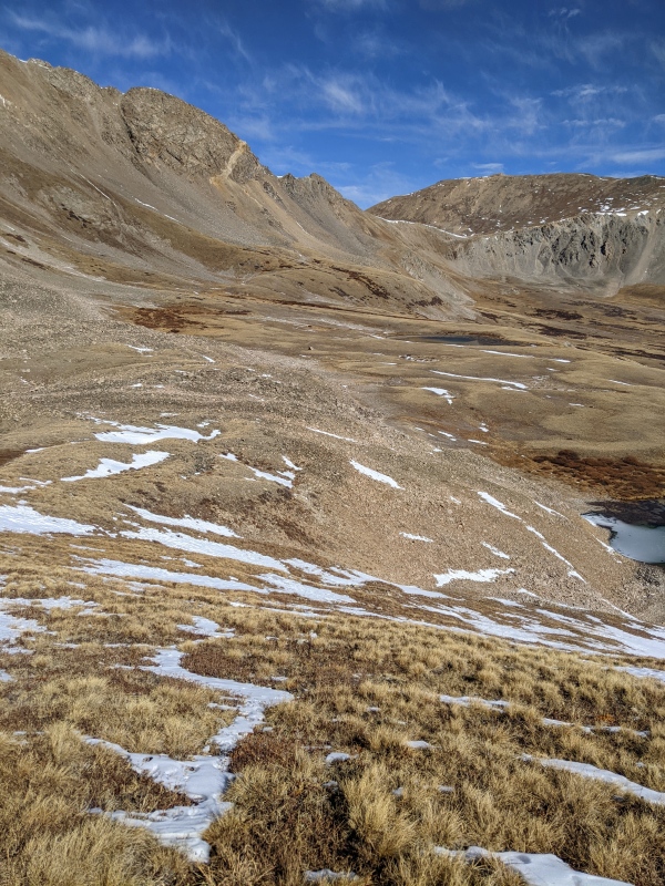
Near one of the lakes, looking towards Elkhead PassEmerald and the slope descent (I walked down near the snowfield on looker's left)
I thought that it might be possible to contour instead of descended to the trail low in the basin, so I gave it a go. It was possible, but the side-hilling was difficult, and probably not worth it compared to regain on the trail.
Above Elkhead Pass on the ridge, looking back at the side-hill section.
Once at Elkhead, I took a moment to hydrate and eat a Pop Tart, before starting down the gulch. The descent was relatively fast, but the vert and miles were starting to sink in.
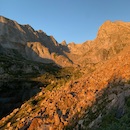
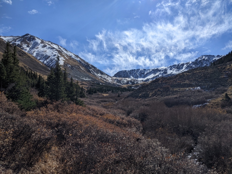
The beauty of Missouri Gulch on the descent
There are 8 switchbacks on the steep slope on the way back to the trailhead. I know that because I was feeling over it and decided to count.
At long last, I maybe it back to the trailhead. I switched out of my climbing boots, and was greeted by some on the worst blisters of my life on my heal. They're not new boots or anything, but I haven't used them since the spring so maybe that need to be broken in again?
On the way home, I stopped in Leadville at City on a Hill for some amazing coffee and a burrito; that place seems to make an appearance on most of my trips to the Sawatch range.
Overall, this was an excellent day spent on some cool peaks!
Thanks for reading :)
Thumbnails for uploaded photos (click to open slideshow):
Not to dump on your gear, but for couloirs--even iced-up ones--you'd get much better traction and economy from mountaineering crampons. Vertical frontpoints, especially mono, are mostly decorative on snow and work your calves harder on low-angle ice.
Yeah these crampons definitely have their shortcomings in terrain like this. Acquiring proper mountaineering crampons that actually weigh less than a pile of bricks is definitely on the agenda for me.
I never thought I'd see the words "October" and "couloir" together...
Good job getting it done!!
Caution: The information contained in this report may not be accurate and should not be the only resource used in preparation for your climb. Failure to have the necessary experience, physical conditioning, supplies or equipment can result in injury or death. 14ers.com and the author(s) of this report provide no warranties, either express or implied, that the information provided is accurate or reliable. By using the information provided, you agree to indemnify and hold harmless 14ers.com and the report author(s) with respect to any claims and demands against them, including any attorney fees and expenses. Please read the 14ers.com Safety and Disclaimer pages for more information.
Please respect private property: 14ers.com supports the rights of private landowners to determine how and by whom their land will be used. In Colorado, it is your responsibility to determine if land is private and to obtain the appropriate permission before entering the property.


")
")
")
")
")
")
")
")
")
")
")
")
")
")
")
")
")
")
")
")
")