| Report Type | Full |
| Peak(s) |
Square Top Mountain - 13,799 feet |
| Date Posted | 06/19/2024 |
| Date Climbed | 06/14/2024 |
| Author | RyanB06 |
| First of the Season |
|---|
|
Distance: ~6.5 miles Halfway through the week of June 9th I decided conditions were looking good enough to go for my first 13er of the season, but not alone. With my brothers birthday approaching I quickly targeted Square Top Mountain as a great first 13er for both of us to accomplish this season. The night before we packed our gear and filled our water bladders. We planned to hike Square Top from the traditional Southeast Ridge to keep our first hike of the season nice and easy. We woke up at 4:30 and left not 20 minutes later for the hour long drive ahead. We arrived at the trailhead where only one other vehicle was parked before us just before 6am (The Bierstadt Trailhead was already filling up, which I would find out for myself the next day when I hiked Bierstadt). 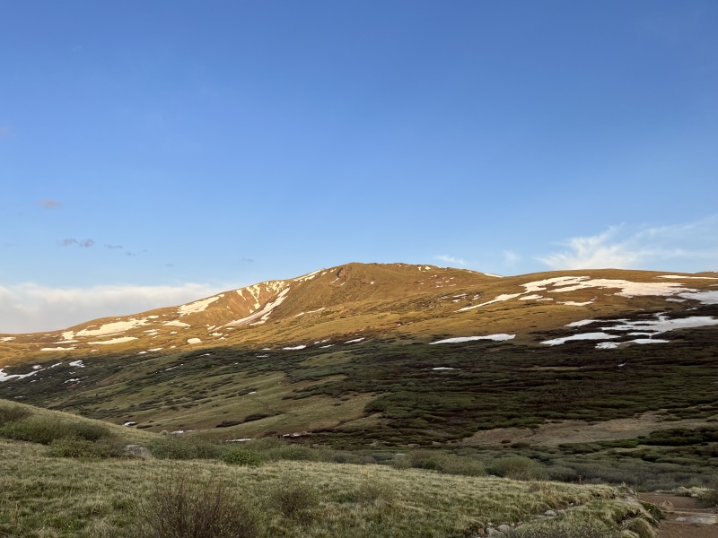
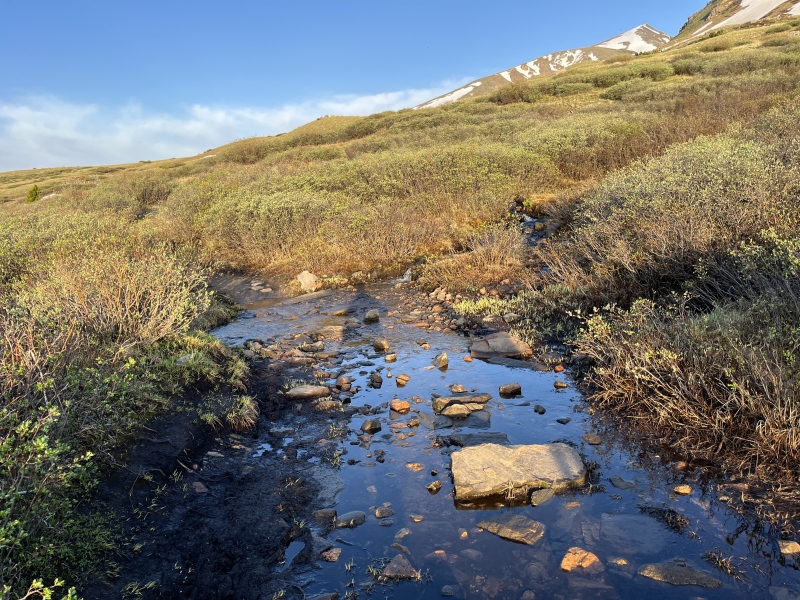
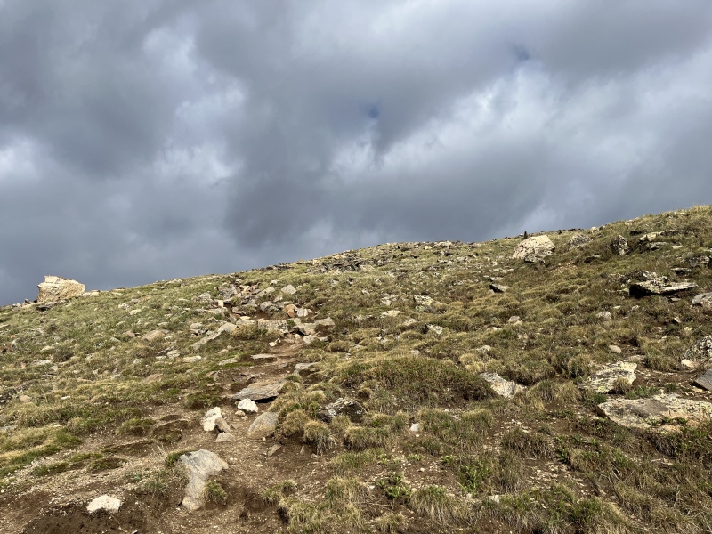
We started our hike just after 6 o'clock, the sun already rising above us lighting up the easy hike to the base of Square Top ahead. To start the trail was dry and pretty well maintained for the early season and we made short easy work of the first 1/4 mile. After that the various streams that normally flowed past the trail flooded it, making for some interesting moves across the wet trail. Other than the flooded obstacles we continued forwards, showing our first 13er of the season who's boss (or so we thought for the time being). It wasn't long before we reached the sign stating the Square Top Lakes were straight ahead, but not before we crossed 2-3 medium to large snowfields. These snowfields were tracked through pretty good already and even though we brought micro spikes just in case we decided they weren't necessary. 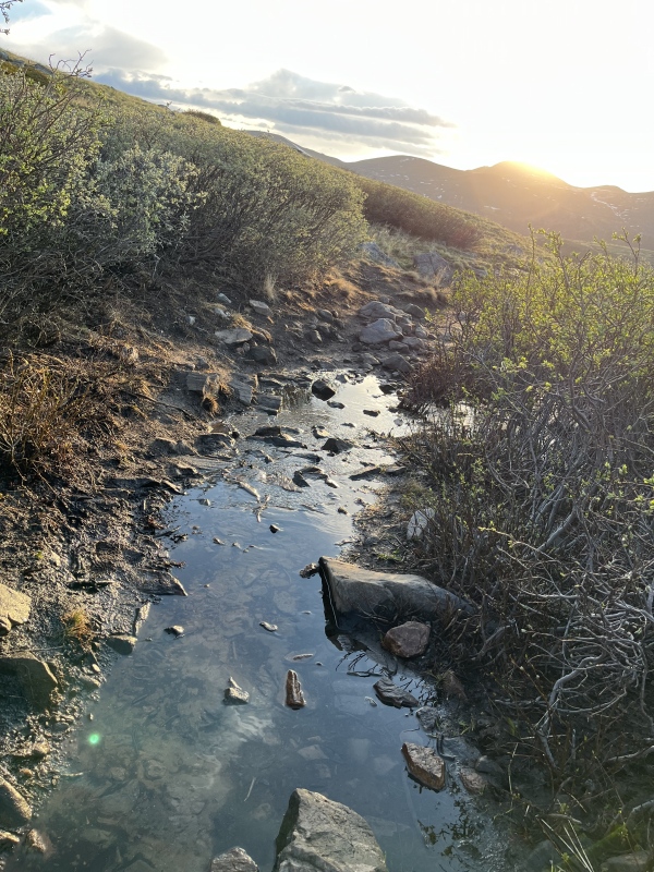
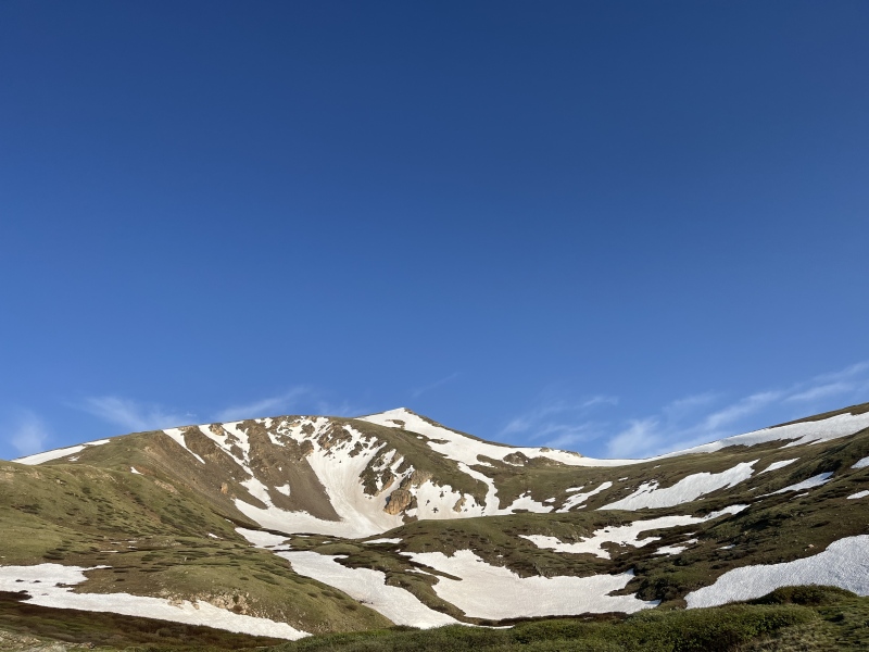
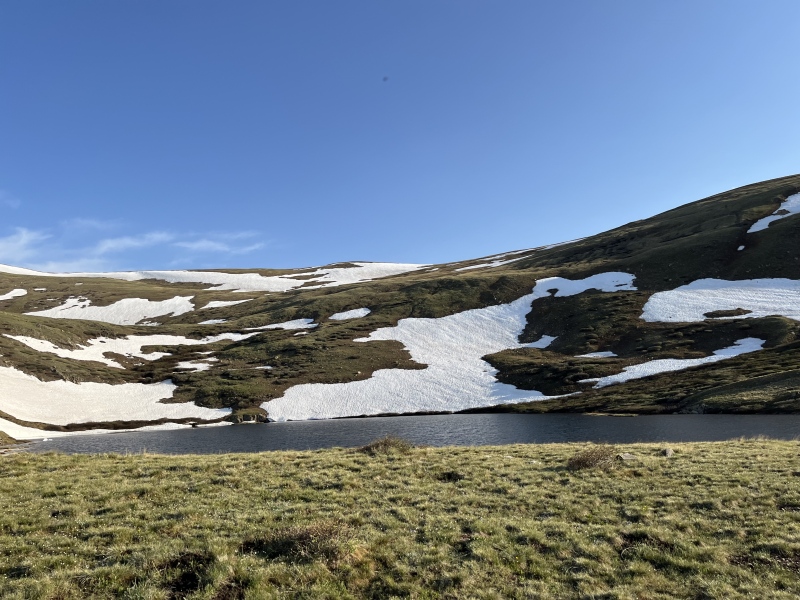
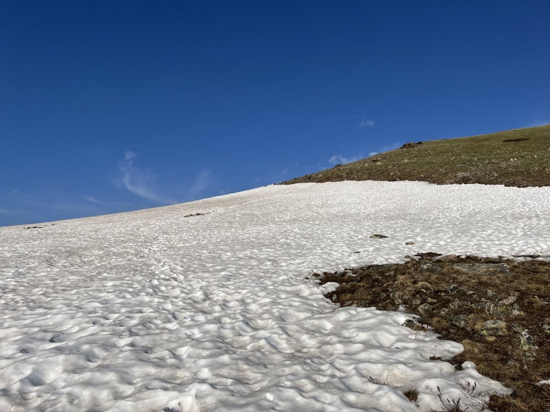
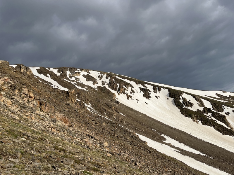
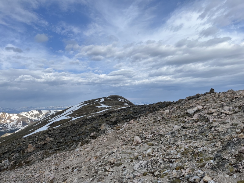
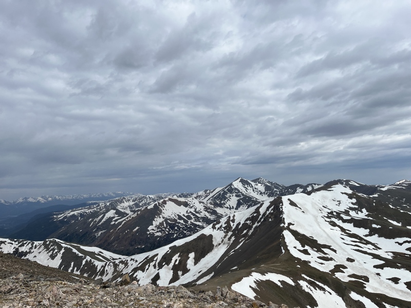
We turned left at the Square Top Lakes sign and began down the less obvious trail up Square Top. Almost immediately however the trail was engulfed by a much larger snowfield that went up the mountain on a much steeper slope. It was here we decided to get off the trail and skirt around the large snowfield, walking up steep tundra scattered with rocks instead. After our quick detour we met back up with the trail quickly and the climb began to get much tougher. All of the elevation gain began on the ridge going up Square Top. Even though it was steep and rocky we felt comfortable on our feet and we didn't have to cross any more snow the rest of the trail. Enjoy some pictures of us following the ridge up Square Top. 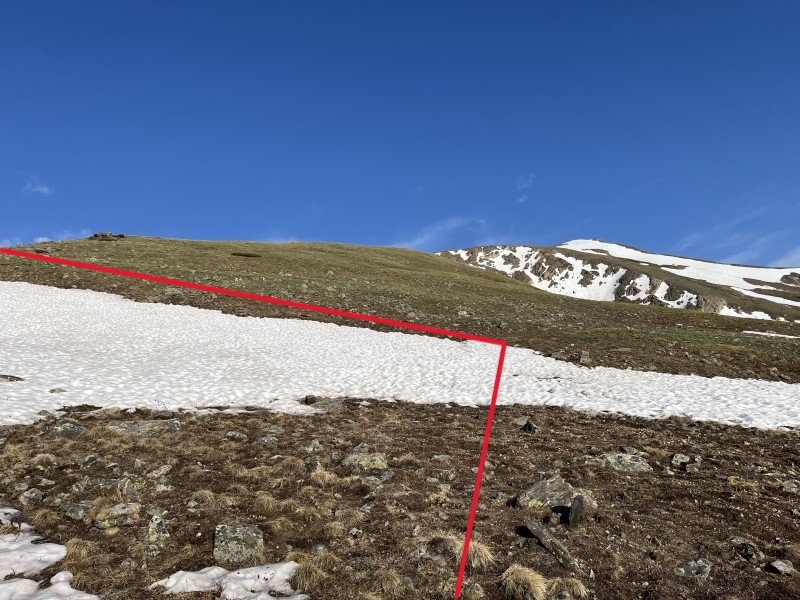
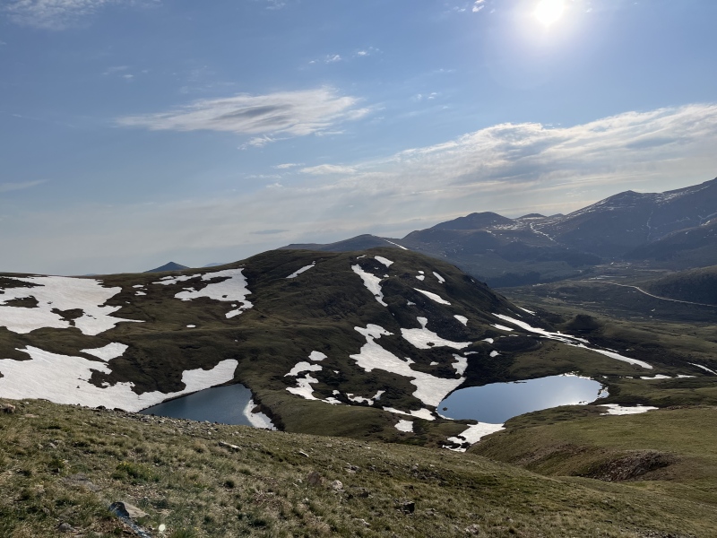
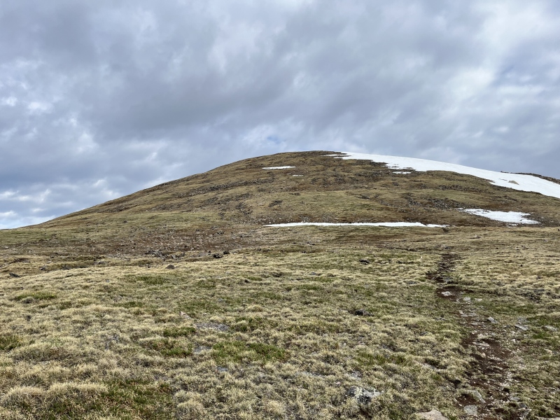
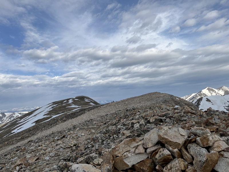
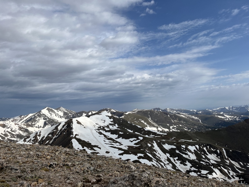
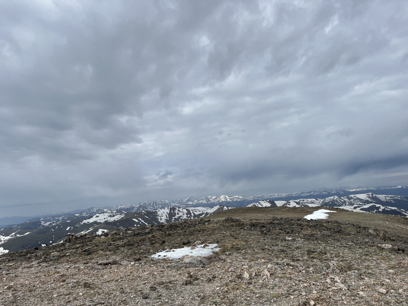
After hiking up the long steep ridge and taking in the amazing views we reached the final false summit. We scrambled forwards passing the rock shelter as the winds began to pick up. As we reached the ridge the winds got much stronger and colder, forcing us to put our coats back on for the final half mile or so. Like the mountain goats we are we hopped across the rocks and found ourselves on the summit of Square Top. The views from the top were amazing, and were definitely my favorite that I've seen from a 13er. I would definitely recommend hiking Square Top when you can because it is a mountain really incredible views. 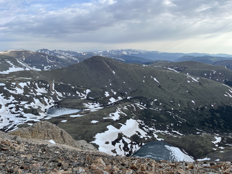
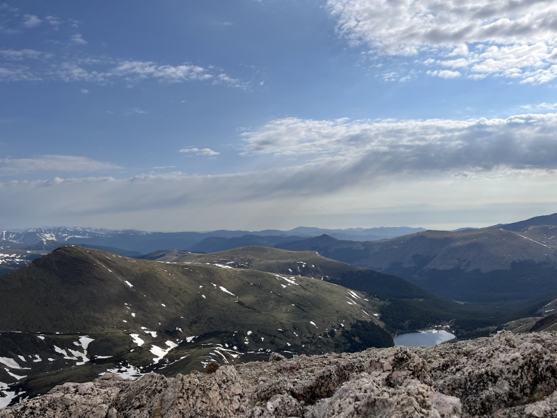
On the top we stopped for a quick snack break where we enjoyed our fruit bars and warmed our hands before the descent down. We said our goodbyes to the summit and made quick work of the downhill back to the TH. On the way down we passed our first groups of other hikers, exchanging quick hellos as we hurried back to our car (and the bathrooms). We arrived back to our car right around 10:15 before heading home and relaxing the rest of the day. 

Ill leave this trip report off with a good note, if you have the time to hike Square Top Mountain I would highly recommend it. It ended up becoming one of my favorite 13er hikes that I've done and the views from the top are amazing. If you're looking for a less busy hike close to home, Square Top is a great choice and I couldn't recommend it more. Just remember to use the bathroom before you go.... Note: I've attached our GPX file below, however all trails stopped tracking on the way back down so the descent is missing (hence why the mileage on my hike was only 4 miles and 3 hours of hiking time) Thumbnails for uploaded photos (click to open slideshow): ")
")
")
")
")
")
")
")
")
")
")
")
")
")
")
")
")
")
")
")
")
")
")
")
")
")
")
")
")
")
")
")
")
")
")
|
| Comments or Questions |
|---|
|
|
Caution: The information contained in this report may not be accurate and should not be the only resource used in preparation for your climb. Failure to have the necessary experience, physical conditioning, supplies or equipment can result in injury or death. 14ers.com and the author(s) of this report provide no warranties, either express or implied, that the information provided is accurate or reliable. By using the information provided, you agree to indemnify and hold harmless 14ers.com and the report author(s) with respect to any claims and demands against them, including any attorney fees and expenses. Please read the 14ers.com Safety and Disclaimer pages for more information.
Please respect private property: 14ers.com supports the rights of private landowners to determine how and by whom their land will be used. In Colorado, it is your responsibility to determine if land is private and to obtain the appropriate permission before entering the property.

