Download Agreement, Release, and Acknowledgement of Risk:
You (the person requesting this file download) fully understand mountain climbing ("Activity") involves risks and dangers of serious bodily injury, including permanent disability, paralysis, and death ("Risks") and you fully accept and assume all such risks and all responsibility for losses, costs, and damages you incur as a result of your participation in this Activity.
You acknowledge that information in the file you have chosen to download may not be accurate and may contain errors. You agree to assume all risks when using this information and agree to release and discharge 14ers.com, 14ers Inc. and the author(s) of such information (collectively, the "Released Parties").
You hereby discharge the Released Parties from all damages, actions, claims and liabilities of any nature, specifically including, but not limited to, damages, actions, claims and liabilities arising from or related to the negligence of the Released Parties. You further agree to indemnify, hold harmless and defend 14ers.com, 14ers Inc. and each of the other Released Parties from and against any loss, damage, liability and expense, including costs and attorney fees, incurred by 14ers.com, 14ers Inc. or any of the other Released Parties as a result of you using information provided on the 14ers.com or 14ers Inc. websites.
You have read this agreement, fully understand its terms and intend it to be a complete and unconditional release of all liability to the greatest extent allowed by law and agree that if any portion of this agreement is held to be invalid the balance, notwithstanding, shall continue in full force and effect.
By clicking "OK" you agree to these terms. If you DO NOT agree, click "Cancel"...
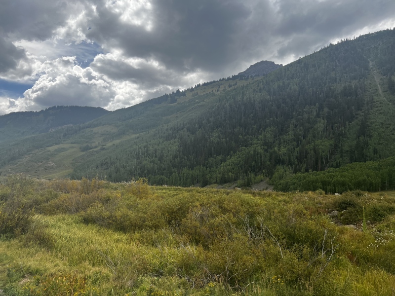
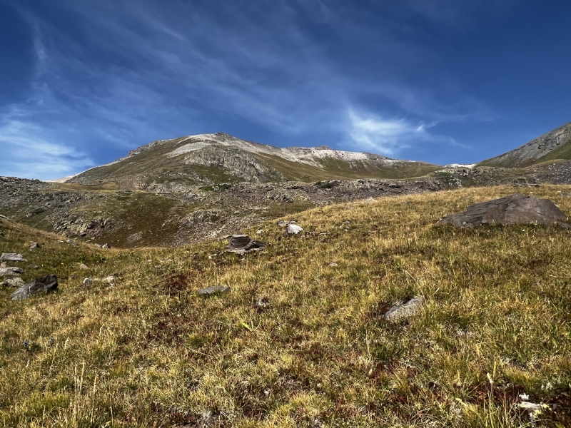
The 2000' slope of death you get to look forward to from the trailhead
Kiefer hiked South Hayden last Monday since I already have it and was stuck at work. After that peak it gave us each one 13er to go in the Ironton quad. Not wanting to deal with MUCH Labor Day traffic we decided to finally knock out the other Hayden, a peak I had been procrastinating because… well. It’s 3500’ straight up.
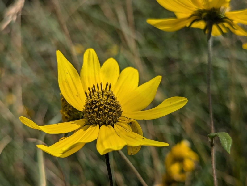
Pretty flowers
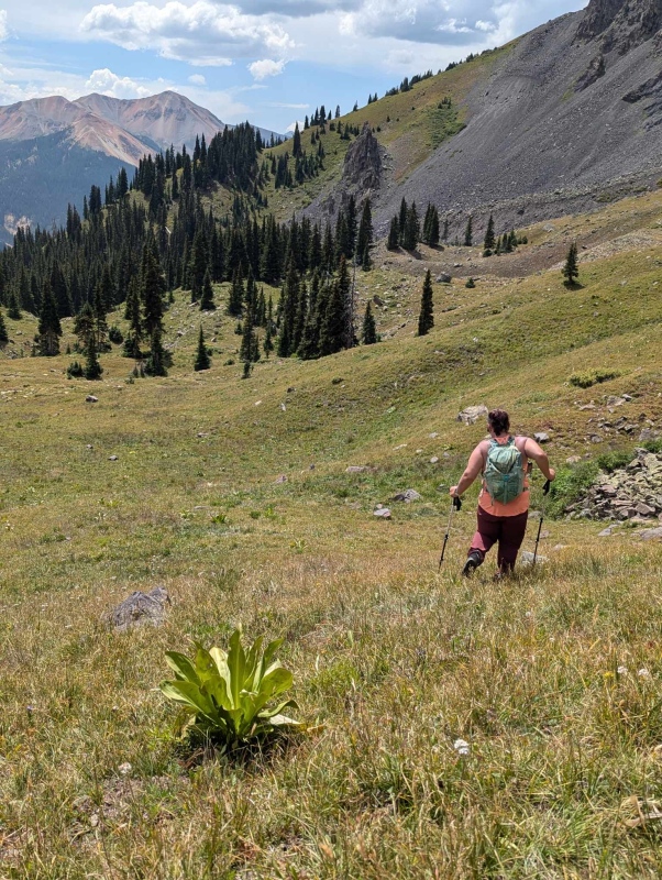
The peak itself isn’t particularly interesting and lived up to the expectations I had that it would be a heck of a slog. Half Moon Basin is small but picturesque and was a great place to enjoy our first break of the day. There really are no good spots to take a decent snack break on the lower 2000' of the peak because of the thick vegetation, not to mention the pitch at which you will be hiking. The only true reprieve from the overall steepness of the hike is a small flat campsite in the trees just before entering Half Moon Basin.
Beautiful Half Moon Basin
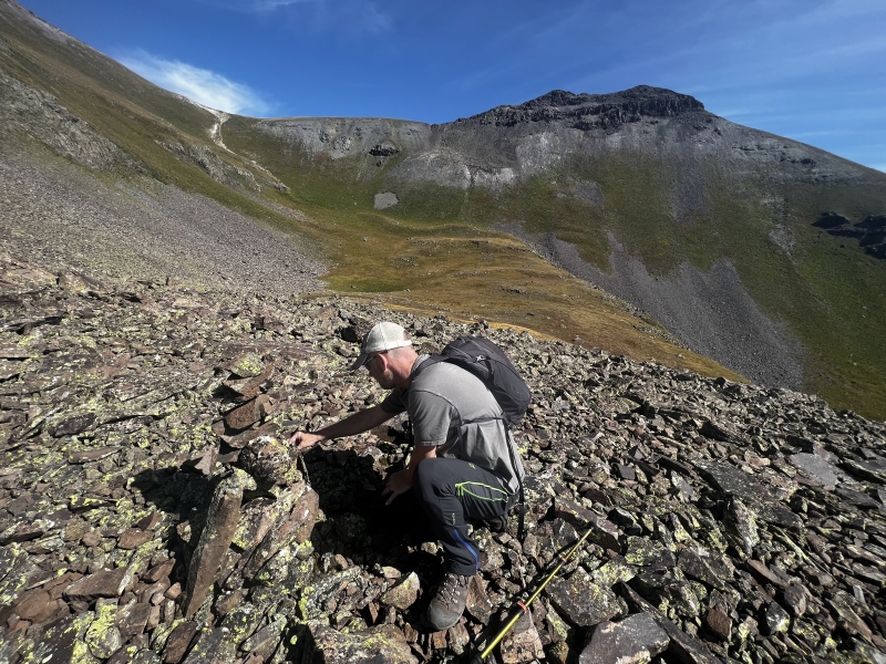
This spot made a good break stop on the ascent and before the super fun (read... it was not fun) descent. Allie (13erRetriever) has some great beta for the route from Crystal Lake in her report, so I won't go into much detail here as she has already done so in her report, but I will add that Kiefer and I were able to link up trail segments all the way up into Half Moon Basin, and I'm attaching our track here to help you follow through the lower maze. Kiefer also added some helpful tree branches alongside our route, so if you go up soon the "trail" is somewhat marked.
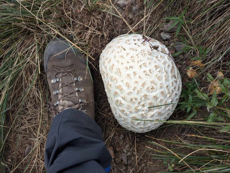
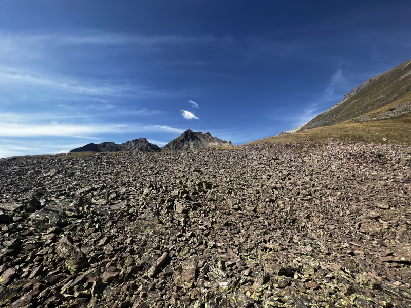
If you find this puffball you are on the right track!Looking down from traversing around the grassy knoll (right frame of this pic)Kiefer building a cairn while headed towards the ridge, the summit is out of frame to the leftA quick rocky section. Ridge in view to the right.Headed up the ridge. Stay to the left of the cliff band.
After we hit the grassy ridge which we accessed by going right around the grassy knoll (also in Allie's report) we continued steeply up and paid our dues with some loose talus prior to reaching the false summit. Once you have reached the false summit the true summit is only a few minutes out. Don't be like me and try to stay high, just drop down to the easy ground (you'll see it) and you'll be there in no time flat.
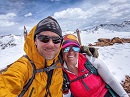
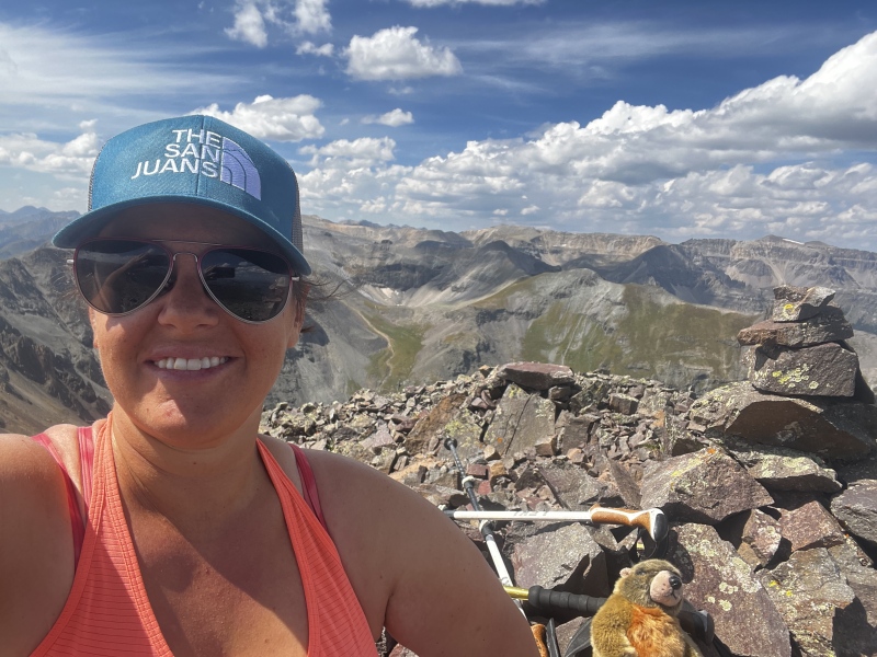
Me on the summit
Kiefer on the summit
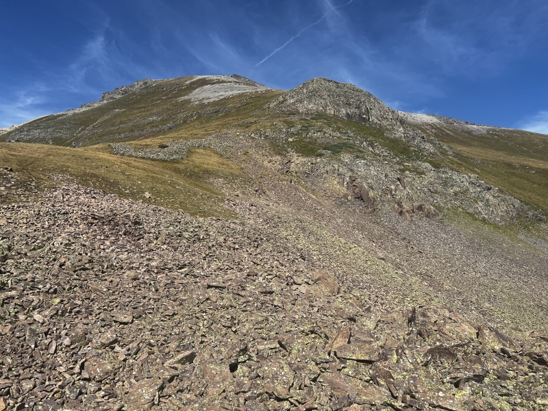
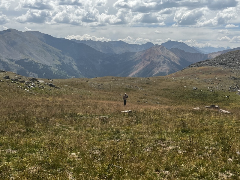
We enjoyed the summit, the views were excellent and the weather was still fantastic. After our relaxing stay we decided to make the upper part of the mountain a loop and after dropping off the true summit surfed down some scree to a tundra slope which connected to a trail that we followed into upper Half Moon Basin. I would recommend ascending the way described here and in Allie's report as it would have sucked to climb up that loose scree, however it made for a quick descent.
Taken on the way up, but our ascent and descent routes can be seen clearly here. Ascent ridge, center left to the left of the cliffs. Descent ridge center down the white scree into the upper basin above the lower rock band.Myself descending into Half Moon Basin, the campsite we took a break at is close to the top of the trees to the leftKiefer in the upper basin.
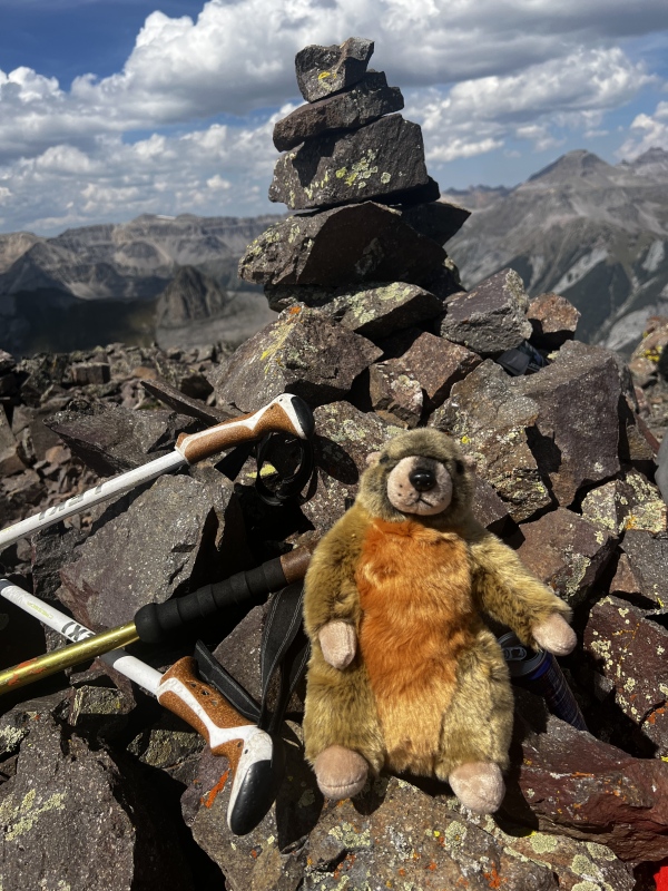
Speaking of the descent, don't underestimate it. It was truly the most awful part of the peak. Both of our feet were thumping by the time we reached Crystal Lake. Overall it was a fun day out with Kiefer and Rupert the marmot.
Rupert the marmot on the summit - Yes I missed an opportunity by having him chewing on a pole.
I dont know my mushrooms so we left it! However when Kiefer gets home Ill have him look to see if his phone geotagged the location!
Caution: The information contained in this report may not be accurate and should not be the only resource used in preparation for your climb. Failure to have the necessary experience, physical conditioning, supplies or equipment can result in injury or death. 14ers.com and the author(s) of this report provide no warranties, either express or implied, that the information provided is accurate or reliable. By using the information provided, you agree to indemnify and hold harmless 14ers.com and the report author(s) with respect to any claims and demands against them, including any attorney fees and expenses. Please read the 14ers.com Safety and Disclaimer pages for more information.
Please respect private property: 14ers.com supports the rights of private landowners to determine how and by whom their land will be used. In Colorado, it is your responsibility to determine if land is private and to obtain the appropriate permission before entering the property.


")
")
")
")
")
")
")
")
")
")
")
")
")
")
")