| Report Type | Mini |
| Peak(s) |
Kendall Mountain - 13,353 feet Kendall Peak - 13,455 feet |
| Date Posted | 07/13/2025 |
| Modified | 07/14/2025 |
| Date Climbed | 07/10/2025 |
| Author | Dobsons |
| Simple bypass of the Titusville mine gully |
|---|
|
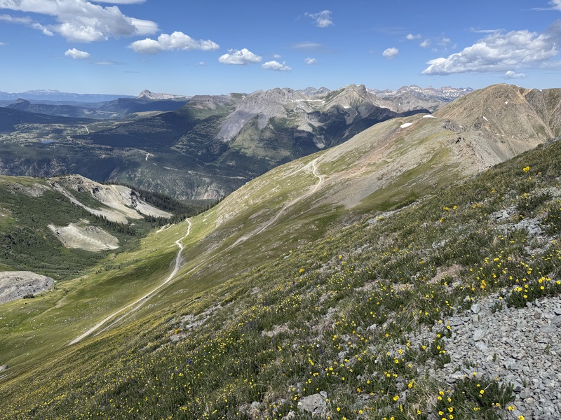
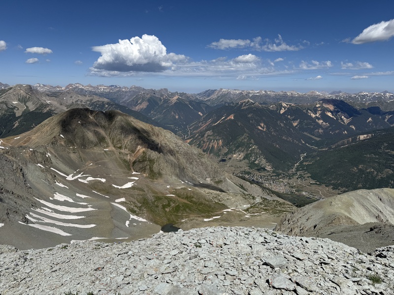
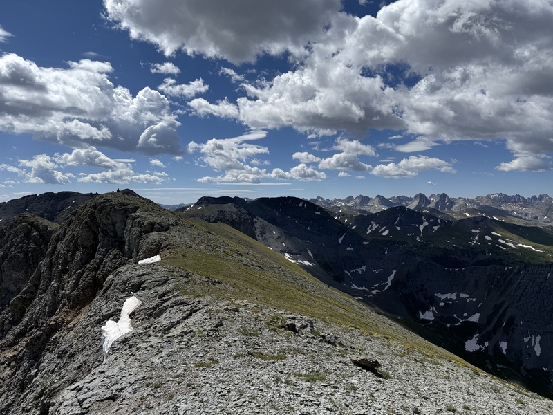
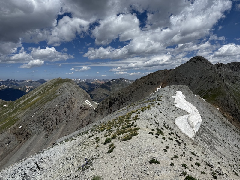
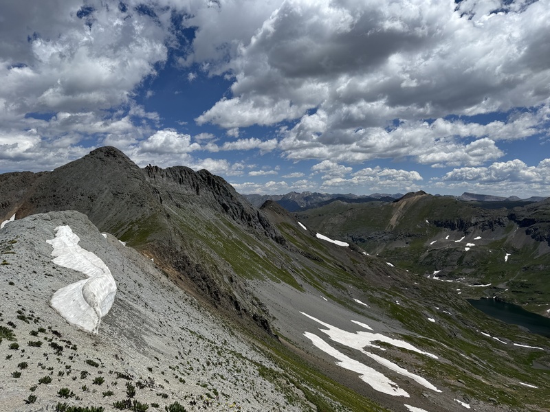
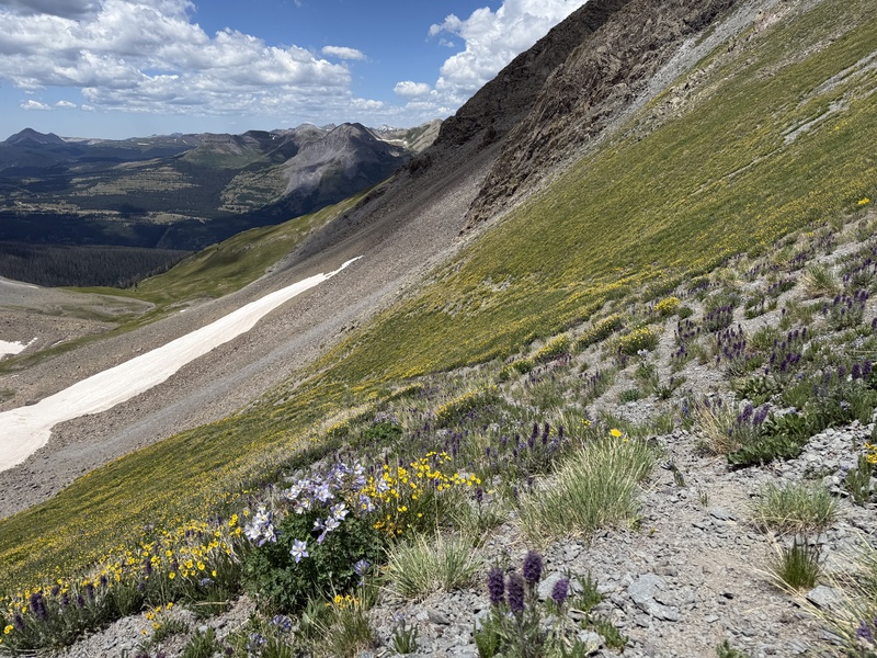
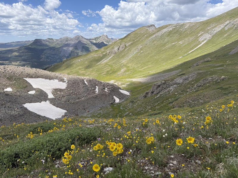
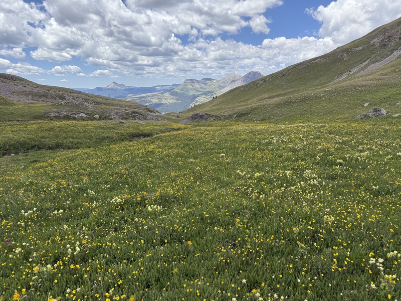
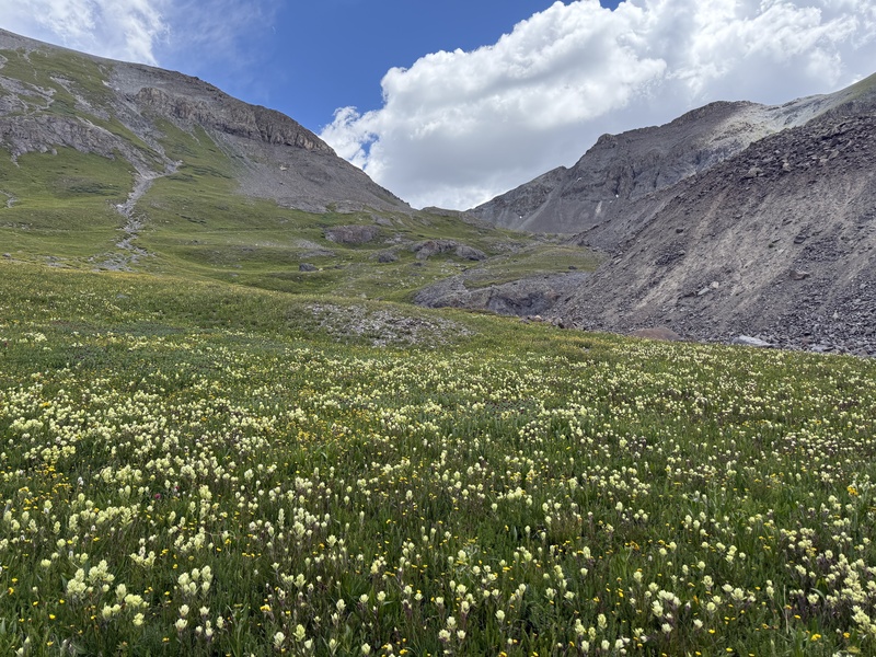
Kendall Mountain to Kendall Peak Titusville mine gully bypass option I'm writing this mini trip report mainly just to provide a gpx map/file and a bit of beta on a simple bypass for connecting Kendall Mountain to Kendall Peak. Most reports on this site mention a heinous gully to connect the two above Titusville mine with a few mentions in reports of sliding back down the loose gully several times and giving up on the idea of getting up the gully altogether, to using sharp rocks to try to gain traction, or clinging to the sides of the gully for upward progress. As enjoyable as all that sounds, I was not overly excited about this gully so wanted to consider other options. When looking at the cal topo slope shading feature it looked like Kendall Peak's southwest ridge could easily be obtained high in Kendall Gulch somewhere between Kendall Peak's south subsummit and point 12730. Once the ridge was obtained it seemed this could be easily followed to Kendall Peak's summit. So, my plan was to give this a go when I went up there in the future to try to bypass the gully no one speaks fondly of. That time came on a recent family trip while my lovely wife and boys were hanging out at a VRBO in Purgatory for a day. I had planned on climbing the Twilight group on a longer day trip while they relaxed. However, I woke up at 4:30 AM Thursday July 10th to lightening flashing in the ski so altered plans to another shorter option once it seemed there would be a late morning gap between a potential for more storms in the afternoon. I had not planned on the Kendalls on this trip but with the Kendall Mountain access road I know I could get up and down fairly quick and explore the connection to Kendall Peak. After driving to the Deer Park Road junction with the Kendall Mtn Road, I started up the road about 9:45 in the AM after the storms had passed and quickly attacked the road to the grassy walk up of Kendall Mountain using the fall line from the road (my wife and I had previously ran Kendall BM in 2012 training for the Pike's Peak races so I did not repeat the BM). From there I dropped back down to the road via the grass and then started traversing towards Kendall Peak on the road that climbs higher into the gulch. High in the gulch from near the Titusville mine gully, I did a southeast contour to the southwest ridge on some mild talus and grass to access the ridge. The contour and the ridge were very straight forward. There are a few craggy portions on the ridge proper that can be easily bypassed on the right of the ridge on mildly loose dirt/talus for short sections, but overall, it was a simple ascent, and I was soon on the subsummit of Kendall Peak. This led to a simple walk above the Titusville gully to the summit. I had contemplated trying to traverse the several peaks to the south of Kendall Peak but weather was starting to build a bit and the lightening in the morning had me decide to not push it and head back to the family. The decent to the saddle between Kendall Peak and Spencer Peak was straightforward and I was able to descend a small trail initially from the saddle that petered out in the northern branch of Deer Park basin. I then just followed nice grassy/flower slopes back down to the Deer Park road to finish a nice loop back to the truck. One could easily link Kendall BM to 13117 this way without any gross gully up Kendall peak and nothing but easy class 2 hiking. I look forward to coming back to complete the loop and add the other peaks in the area in the future for those amazing Wemi views. Hope this helps a few and at least allows some to know that to link the Kendalls you aren't committed to a slick choss fest of a gully above the Titusville mine. 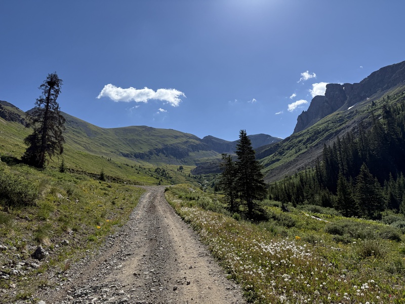

Thumbnails for uploaded photos (click to open slideshow): ")
")
")
")
")
")
")
")
")
")
")
|
| Comments or Questions | |||
|---|---|---|---|
|
Caution: The information contained in this report may not be accurate and should not be the only resource used in preparation for your climb. Failure to have the necessary experience, physical conditioning, supplies or equipment can result in injury or death. 14ers.com and the author(s) of this report provide no warranties, either express or implied, that the information provided is accurate or reliable. By using the information provided, you agree to indemnify and hold harmless 14ers.com and the report author(s) with respect to any claims and demands against them, including any attorney fees and expenses. Please read the 14ers.com Safety and Disclaimer pages for more information.
Please respect private property: 14ers.com supports the rights of private landowners to determine how and by whom their land will be used. In Colorado, it is your responsibility to determine if land is private and to obtain the appropriate permission before entering the property.


