Download Agreement, Release, and Acknowledgement of Risk:
You (the person requesting this file download) fully understand mountain climbing ("Activity") involves risks and dangers of serious bodily injury, including permanent disability, paralysis, and death ("Risks") and you fully accept and assume all such risks and all responsibility for losses, costs, and damages you incur as a result of your participation in this Activity.
You acknowledge that information in the file you have chosen to download may not be accurate and may contain errors. You agree to assume all risks when using this information and agree to release and discharge 14ers.com, 14ers Inc. and the author(s) of such information (collectively, the "Released Parties").
You hereby discharge the Released Parties from all damages, actions, claims and liabilities of any nature, specifically including, but not limited to, damages, actions, claims and liabilities arising from or related to the negligence of the Released Parties. You further agree to indemnify, hold harmless and defend 14ers.com, 14ers Inc. and each of the other Released Parties from and against any loss, damage, liability and expense, including costs and attorney fees, incurred by 14ers.com, 14ers Inc. or any of the other Released Parties as a result of you using information provided on the 14ers.com or 14ers Inc. websites.
You have read this agreement, fully understand its terms and intend it to be a complete and unconditional release of all liability to the greatest extent allowed by law and agree that if any portion of this agreement is held to be invalid the balance, notwithstanding, shall continue in full force and effect.
By clicking "OK" you agree to these terms. If you DO NOT agree, click "Cancel"...
I arrived to the Maroon Bells parking area around 10:30pm. I got a midnight to midnight pass, which was relatively straight forward and it didn't seem like anyone minded that I got there a few hours before midnight.
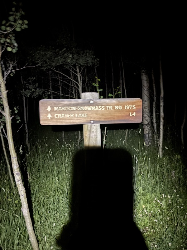
I woke up at 3am, had breakfast, strapped my running vest on with my helmet on the back, and set off around 3:40am. I took the Maroon Snowmass Tr. to East Maroon trail to the trailhead for Maroon Peak, going South to North.
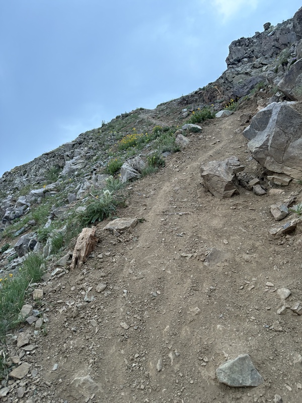
Beginning ascent to Crater Lake from Maroon Lake
The Maroon Peak trail is relatively easy to miss in the dark, so just be aware so that you don't continue on East Maroon.This trail was void of all snow, and relatively steep (but not as steep as N. Maroon.) The 800 ft of suck at the end to gain the ridge is exactly that. I didn't feel the rest before that was anything to write home about. Just steep crappy rock like everything you've heard. Classic Elk range stuff.
Mountain bike tire tracks hiking up Maroon Peak (South)
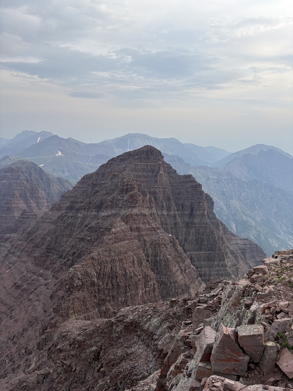
After some fun ridge running I got to Maroon Peak with relative ease, and ate a snickers bar as I studied the traverse. It's pretty daunting from the view!
Summit of Maroon Peak looking at North Maroon
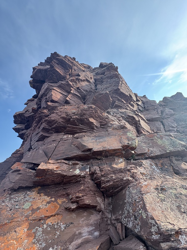
You come to the first difficulty almost immediately after descending the scree. Huge tower. Super fun.
First of the traverse difficulties. Found the right pitch to be a little less intense than the middle route
It's a little tricky in spots to find the route, but there are plenty of cairns if you look. Some are literally on the rock shelf above after you make the ascent, sort of congratulating you on climbing the right thing.
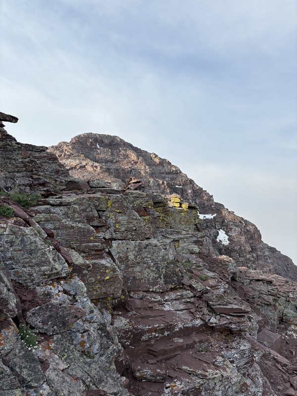
North Maroon peaking out from traverse
I gained the summit of N. Maroon around 8am and then started the descent back to Crater Lake.
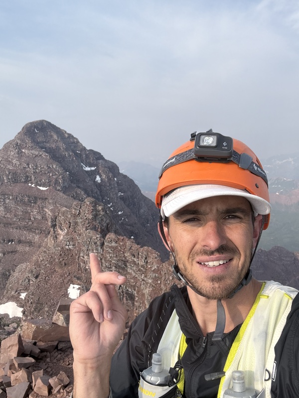
Summit of N. Maroon looking at Maroon Peak
The descent off N. Maroon maybe have been the most sketchy part of the whole thing. I almost took the wrong chute like 2-3 times. So just pay super close attention to your GPS. It's really easy to get off route. VERY steep. But void of all snow on July 16.
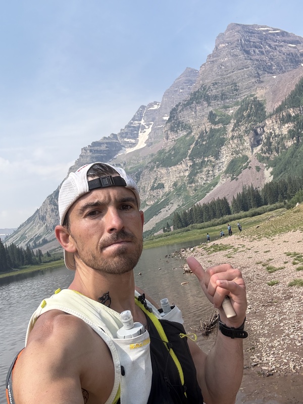
Polar plunge in Crater Lake to finish it off
I finished with a polar plunge in Crater Lake with like 100 tourists looking on.
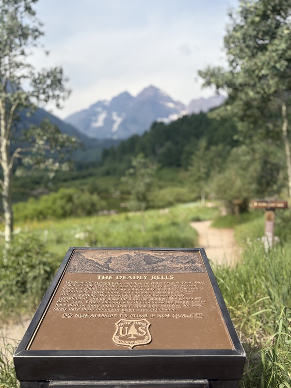
The iconic sign
Got back to the parking lot around 10am, and headed to Aspen for a well deserved coffee. Super fun day! Great conditions on the mountain with the exception of all the haze from the fires.
My GPS Tracks on Google Maps (made from a .GPX file upload):
Thumbnails for uploaded photos (click to open slideshow):
Comments or Questions
Caution: The information contained in this report may not be accurate and should not be the only resource used in preparation for your climb. Failure to have the necessary experience, physical conditioning, supplies or equipment can result in injury or death. 14ers.com and the author(s) of this report provide no warranties, either express or implied, that the information provided is accurate or reliable. By using the information provided, you agree to indemnify and hold harmless 14ers.com and the report author(s) with respect to any claims and demands against them, including any attorney fees and expenses. Please read the 14ers.com Safety and Disclaimer pages for more information.
Please respect private property: 14ers.com supports the rights of private landowners to determine how and by whom their land will be used. In Colorado, it is your responsibility to determine if land is private and to obtain the appropriate permission before entering the property.
")
 Beginning ascent to Crater Lake from Maroon Lake")
 Mountain bike tire tracks hiking up Maroon Peak (South)")
 Summit of Maroon Peak looking at North Maroon")
 North Maroon peaking out from traverse")
 First of the traverse difficulties. Found the right pitch to be a little less intense than the middle route")
 Summit of N. Maroon looking at Maroon Peak")
 Polar plunge in Crater Lake to finish it off")
 The iconic sign")
 Fun selfie. You actually do have to go half way across that cliff to descend of N. Maroon")

