Download Agreement, Release, and Acknowledgement of Risk:
You (the person requesting this file download) fully understand mountain climbing ("Activity") involves risks and dangers of serious bodily injury, including permanent disability, paralysis, and death ("Risks") and you fully accept and assume all such risks and all responsibility for losses, costs, and damages you incur as a result of your participation in this Activity.
You acknowledge that information in the file you have chosen to download may not be accurate and may contain errors. You agree to assume all risks when using this information and agree to release and discharge 14ers.com, 14ers Inc. and the author(s) of such information (collectively, the "Released Parties").
You hereby discharge the Released Parties from all damages, actions, claims and liabilities of any nature, specifically including, but not limited to, damages, actions, claims and liabilities arising from or related to the negligence of the Released Parties. You further agree to indemnify, hold harmless and defend 14ers.com, 14ers Inc. and each of the other Released Parties from and against any loss, damage, liability and expense, including costs and attorney fees, incurred by 14ers.com, 14ers Inc. or any of the other Released Parties as a result of you using information provided on the 14ers.com or 14ers Inc. websites.
You have read this agreement, fully understand its terms and intend it to be a complete and unconditional release of all liability to the greatest extent allowed by law and agree that if any portion of this agreement is held to be invalid the balance, notwithstanding, shall continue in full force and effect.
By clicking "OK" you agree to these terms. If you DO NOT agree, click "Cancel"...
Quandry is a good choice for a beginner fall/winter hike. I did the Nuber hike last January, and this makes twice this November. I like how the winter route is basically direct up the east face. I think that Quandry in the winter could be one of my top two favorite Class 1 or 2 hikes year round (Uncompaghre is the other). It is a relatively easy hike to a summit that is more spectacular in the winter.
I arrived at the trailhead and started walking at about 7:30am. It was below freezing, so I put my rain jacket on over my backpack (it is large enough). I find that this is good enough to keep the camelback from freezing so long as it isn't too cold.
The path up to tree line is mostly snowpacked, with a few frozen/muddy sections.
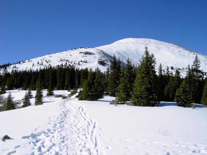
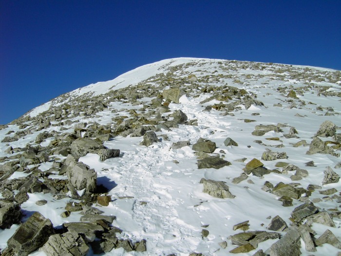
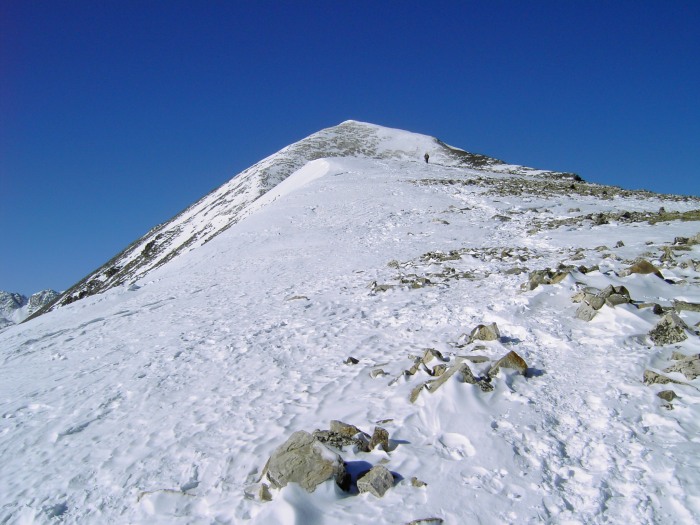
Shortly, I got close to treeline and could see the initial route up the face.
The winter route diverges from the summer route right near the sign that says the trail is closed. I have seen it going straight up the slope, but currently it switches back a few times before reaching the step just above the last of the trees/bushes.
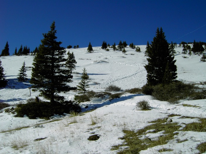
From the step, the route up the face to the next flat area had many trails. At times it was solid, at times soft.
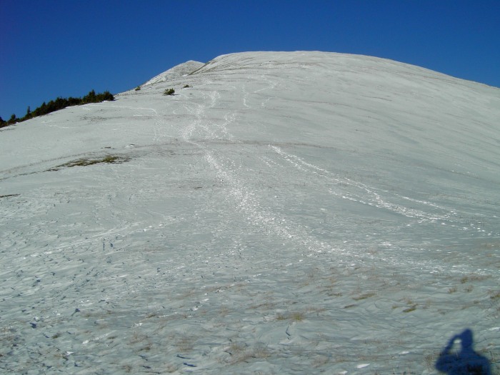
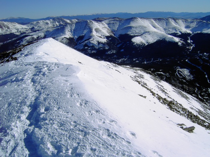
Up on the gentler area near 13,000', showing the remainder of the route
I like the upper portion in the snow, generally you can trudge straight up. The trail was packed and icy in this area, the spikes came in very handy
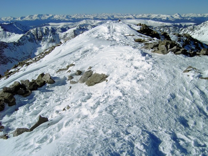
Near the top, looking back a bit on the route
And the very top is fun, since you get to walk along the snow ridge before reaching the true summit. There are many wind shelter options; easy to find one that is calm and sunny.
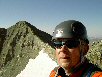
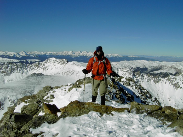
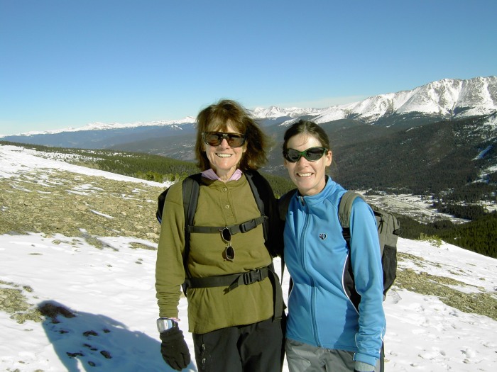
Summit shot, looking west
I believe I was the first to the summit this morning, but there was a good crowd behind me. After lounging on the summit a bit, I headed down. The spikes came in very handy on the way down. The following are various shots on the way back down, showing some of the hikers
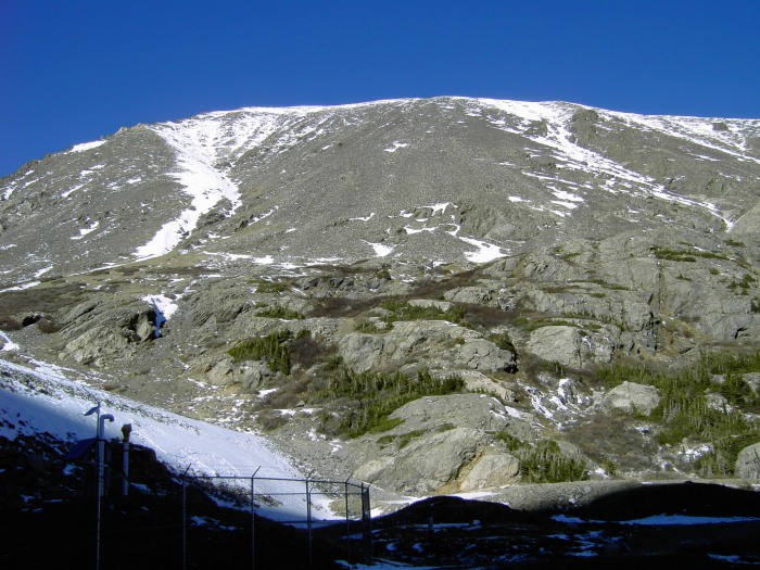
I got back down at about 12:30; I took my time and talked a lot with the hikers heading up. I drove up to Blue Lakes and snapped a quick shot of the south face. Looks a little sparse still.
It was a great day. Just a bit of wind, but very pleasant. A near bluebird day.
Thanks for reading
Thumbnails for uploaded photos (click to open slideshow):
As of Friday, the road up to the trailhead proper was snowpacked but very manageable. It might be a bit slick, but I didn‘t see anybody having problems. It is only about 1/4 mile from the bottom up to the trailhead, so wouldn‘t be a bad walk if you didn‘t feel like driving up.
Snowshoes were not needed. The trail is very packed below tree line. Up the first slope (where the closed sign is), the snow is a bit soft, but that is about the only place. To me, it wouldn‘t be worth the effort to carry them. Some sort of spike or yaktrax would be helpful, to gain traction. Everyone I talked to in crampons said it was overkill.
Finally, my daughter, Eliza, and I wanted wanted to say Thank You! for the photo you took of us on the Quandary Peak trail, 11/27. We did go a bit further, but she had to get back, otherwise I think we would have gone for the peak. My other daughter, Gretchen, left the following morning at 5:30 AM for the 10 min. or so drive from the rental house to the trailhead, and got to the top of Quandary by 8:20 AM. Thanks again for the memory, Dianne Walthers
Caution: The information contained in this report may not be accurate and should not be the only resource used in preparation for your climb. Failure to have the necessary experience, physical conditioning, supplies or equipment can result in injury or death. 14ers.com and the author(s) of this report provide no warranties, either express or implied, that the information provided is accurate or reliable. By using the information provided, you agree to indemnify and hold harmless 14ers.com and the report author(s) with respect to any claims and demands against them, including any attorney fees and expenses. Please read the 14ers.com Safety and Disclaimer pages for more information.
Please respect private property: 14ers.com supports the rights of private landowners to determine how and by whom their land will be used. In Colorado, it is your responsibility to determine if land is private and to obtain the appropriate permission before entering the property.


")
")
")
")
")
")
")
")
")
")
")
")
")
")