From the parking area, walk northeast a short distance up the road and pass the gate, near the Shoe Basin mine -
1. Continue less than 0.5 mile and turn right onto the marked Argentine Pass trail -
2. Cross Peru Creek (
3 but now there's a bridge, I think) and continue southeast on the great trail. After weaving through willows, traverse a slope (
4) and exit the trees, near 11,600' -
5. Above 11,800', turn sharply left and continue north along Argentine Peak's west slopes -
6. Cross a large gully (
7) and another, more-rugged one, near 12,800' -
8. Ascend a long stretch (
9) to reach Argentine Pass at 13,200' -
10.
Argentine Pass is near the center of the long ridge between 14ers Mt. Edwards (north) and Argentine Peak (south). If you'd like to add Argentine Peak to your route, it's approx. 2 miles round-trip to summit Argentine Peak from the pass (refer to the
Argentine Peak: Northwest Ridge route). For Mt. Edwards, turn left from the pass and continue north along the Continental Divide -
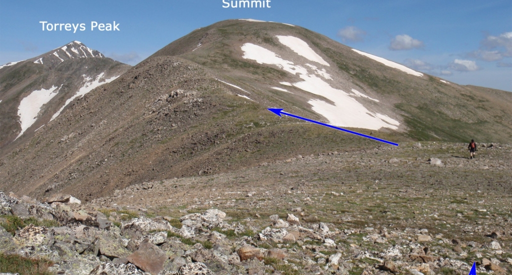
11. After a short distance, Edwards pops back into view as you hike towards unnamed point 13,484' -
12. Continue over Point 13,484' (
13) to reach another bump on the ridge -
14. Reach the final pitch (
15 and
16) and ascend 350' (
17) to reach the summit -
18 and
19.
