| Report Type | Full |
| Peak(s) |
Mt. Shavano - 14,230 feet Mt. Princeton - 14,200 feet Mt. Yale - 14,200 feet Mt. Harvard - 14,424 feet Mt. Belford - 14,202 feet Huron Peak - 14,006 feet La Plata Peak - 14,344 feet Mt. Elbert - 14,438 feet Mt. Massive - 14,427 feet Mt. of the Holy Cross - 14,007 feet |
| Date Posted | 10/09/2024 |
| Date Climbed | 10/05/2024 |
| Author | SpeedWalker |
| Holy Nolans FKT | ||||||||||||||||||||
|---|---|---|---|---|---|---|---|---|---|---|---|---|---|---|---|---|---|---|---|---|
|
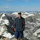
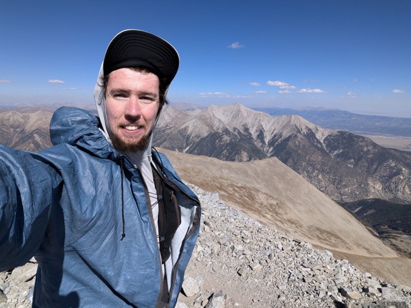
Holy Nolan's FKT Alex "SpeedWalker" Walker Introduction I first set my sights on Nolan's 14 after finishing Colorado's centennial peaks in 2021. The huge multi-day traverse of 14 Sawatch 14ers seemed like a perfect end-of-season challenge, and a way of becoming more familiar with the peaks the area. I knew I wouldn't be able to meet the traditional 60-hour cutoff on my first attempt, so I instead approached it as an unsupported backpacking-style trip, carrying a tent, sleeping gear, and all my food from start to finish. From August 13-16, 2021, I completed the linkup in 83.5 hours, or just under 3.5 days. This included some of my longest back-to-back days in the mountains at the time, but I still managed a comfortable 8 hours of sleep each night. I knew I wanted to revisit the route someday with a lighter pack and less sleep to try to meet the 60-hour cutoff, and I finally got the opportunity in late 2024. I chose a bunch of potential start dates as early as June, but they all seemed to get shut down by the risk of bad weather. I had gotten chased by a couple scary thunderstorms during my 2021 attempt, so this time I committed to wait until I could get 3 straight days of 0% precipitation. This finally came during the weekend of October 5. It certainly wasn't my first choice to start so late in the season with minimal daylight hours, cold temperatures, and fresh snow already lingering up high, but I couldn't resist the beautiful forecast. It also lined perfectly up with my support crew's availability and the peak of my fitness from a summer of peakbagging and endurance adventures, so I decided to give it a shot. My main goal for the trip was simply a sub-60 hour completion of the traditional Nolan's 14 linkup. I spent countless hours refining my route and planning out my schedule based on each peak's stats, calculating that I should be able to sleep for 4-6 hours per night and still comfortably come in around the 56 hour mark. This certainly isn't the fastest possible strategy, but it does avoid a lot of the suffering that comes from extended sleep deprivation, and would allow my legs enough time to recover each night to keep moving at a fast pace. I had also always been intrigued by the "Holy Nolan's" extension to the route, adding roughly 30 extra miles to reach Mount of the Holy Cross, the 15th and final Sawatch 14er. Based on my pace chart, it looked like this would only take an additional 12 hours or so, which meant I had a chance at breaking Andrew Hamilton's 71:32 FKT if I was still moving well. This felt like such a longshot that I was hesitant to even mention it in my announcement of the attempt, but things would actually turn out better than I could've hoped. Day 1 - October 5, 2024 6:30 AM - Blanks Gulch Trailhead to Mount Shavano Class 2 | Distance: 4.3 mi | Gain: 4,466 ft I woke up in the back of my car at Blanks Gulch Trailhead, the traditional starting point for northbound Nolan's attempts. I chose to start at 6:30 AM to maximize sleep beforehand while still taking advantage of every moment of daylight. After eating breakfast and gearing up, I started my watch and inReach precisely on the minute, then started up the familiar Mount Shavano trail. I think every time I've hiked here there's been a few newly-constructed switchbacks compared to last time, which makes the overall ascent slower but slightly easier. My original plan was to break off the main trail around 12,800 ft and shortcut to the top, but I realized I could instead take the fantastic new CFI trail to avoid walking up the tundra slope. It's not yet officially connected to the main trail or the summit, but I don't see a problem using it as long as there's no active construction. This very direct route combined with fresh legs got me to the top of my first peak much faster than I had planned. 
8:31 AM - Mount Shavano to Tabeguache Peak Class 2 | Distance: 0.9 mi | Gain: 406 ft The short traverse over to Tabeguache was quick and uneventful. This was where I came across the first few patches of lingering snow from a large storm a few weeks back. These were fairly common on north-facing slopes above 13,500 ft, but were generally avoidable or inconsequential to walk through. 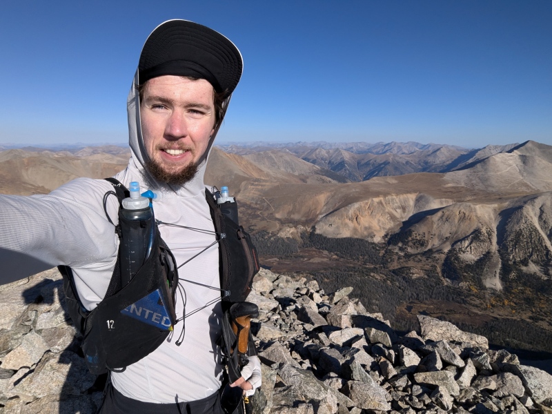
9:03 AM - Tabeguache Peak to Mount Antero Class 2+ | Distance: 4.7 mi | Gain: 2,579 ft My descent off Tabeguache was possibly my least efficient section of the whole trip. I had done the standard descent northeast off the summit a couple times before, but I decided to mix things up and try an alternate route. I instead took the west ridge out to a large talus slope, then dropped down to cross the valley about 350 vertical feet higher than the standard route. Though this seems more efficient on paper, it forces you to stay very high on the rough ridge for longer, the slope is more difficult to descend, and it forces you into a nastier bushwhack to reach the Browns Creek road. It probably cost me no more than 20 extra minutes, but I somehow managed to find the swampiest possible route through the willows, ensuring my feet would be wet for the next several hours. Once I made it across the valley however, a very gentle tundra slope led all the way up to the standard route of Antero. I started to pass quite a few day hikers here, and the 30+ mph forecasted winds started to materialize. 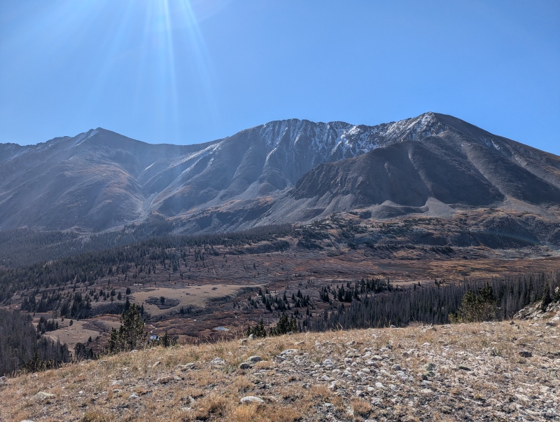
11:21 AM - Mount Antero to Mount Princeton Class 3 | Distance: 10.0 mi | Gain: 4,944 ft After heading back to the upper saddle, I took the relatively new mining road west towards the road's lower switchbacks, then a steep tundra down a minor ridge. This very efficient route gets you from the upper saddle to treeline in less than a mile, all without feeling too physically difficult. From here, it was a long easy road walk all the way down to the first meeting point with my dad, who would be my primary support crew. Much of this road is too steep and/or rocky to run efficiently, but I was able to jog down a few sections of it. After resupplying on food/water and finally changing my soggy socks, I jogged through the little town of Alpine to the start of the Grouse Canyon trail. This starts out as a lovely little route, until dropping you off at a steep bushwhack followed by a jagged ridgeline. This is the only true Class 3 section on the standard Nolan's route, though I would argue not the physically hardest or most dangerous part. There's essentially just one pointy section shortly after gaining the ridgeline, which I skirted on the right before dropping into a notch, then returned to the Class 2+ remainder of the ridge. It's still slow-going to the summit from here, but your 5 minutes of true scrambling on Nolan's is over. I realized at this point that I hadn't brought quite enough water, so I topped up my bottles with some fresh snow before reaching the top. 
4:10 PM - Mount Princeton to Mount Yale Class 2+ | Distance: 13.4 mi | Gain: 6,152 ft I would also be trying a new route for my descent off Princeton, although this one went much more smoothly. Last time, I had taken the northeast ridge all the way down to the Colorado Trail, which resulted in a nasty bushwhack near treeline. The fastest option is likely to go straight down the steep talus slope northwest from the summit (or even backtrack west slightly before dropping down), but that looked rather unpleasant too. Instead, I took the northeast ridge only a short distance before dropping north down a fairly reasonable slope into the Maxwell Creek drainage, where I passed some cool mining ruins then onto an abandoned trail. Though a little hard to follow at times, this trail is fast and brings you straight down to the Colorado Trail, where you begin the long jog down to South Cottonwood Trailhead. I again met my dad here, except this time I just gave him my pack and trekking poles and ran along the road while he drove over and refilled everything. This was a nice efficient strategy that we repeated whenever possible, and also allowed me to recharge my watch and phone while moving, only needing to carry a portable charger for a couple miles at a time. It was now getting dark, so I put on my headlamp, picked up my pack from my dad, then left the road back onto the Colorado Trail. Mount Yale is perhaps the peak with the most route options on Nolan's. Once again, I decided to try something new and unusual by leaving the CT quite early and following a steep east ridge all the way to the summit of Mascot Peak. This was actually a relatively nice route, except that it forces you to drop a few hundred feet after reaching the summit of this 13er (I needed it for my checklist anyway though :). From there, it's another 1,000 vertical feet to finish off the longest continuous climb in all of Nolan's. 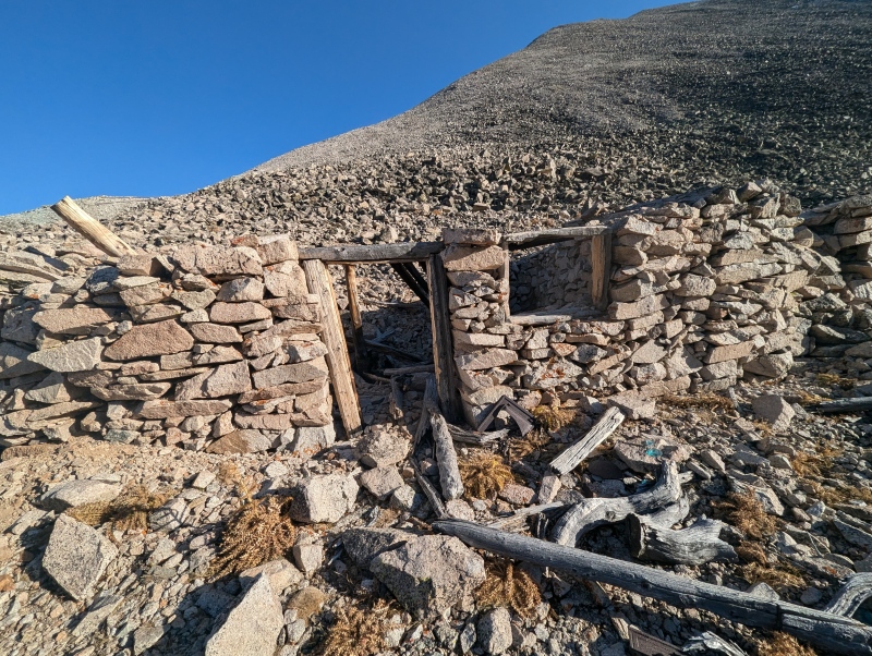

10:28 PM - Mount Yale to Horn Fork Trail Class 2+ | Distance: 2.7 mi | Gain: 148 ft From the top of Yale, I once again decided to try out a new route. Rather than following the ridge all the way to Airplane Gully, I dropped off it as soon as practical, then simply accepted the long bushwhack back to Horn Fork Trail. Neither the steep talus slope nor endless log hopping were particularly fun, but I still think I preferred it to the alternative. Plus, now that there's a fantastic CFI trail up Columbia, there's no need to drop all the way down to the start of its south ridge, so you can save about 500 vertical feet by contouring over to Horn Fork Trail while barely dropping below 11,000 ft. There were a few significant creek crossings around here, but I was still able to cross without getting my feet wet (this is one of the big advantages of hiking in October). I reached the trail at 12:34 AM, where I stopped for the night at a conveniently placed tent! My friend Tim had backpacked in that evening with everything I might need for a resupply, plus sleeping gear. I packed my bag for the morning and promptly fell asleep just past 1:00 AM. 6:06 AM - Horn Fork Trail to Mount Columbia Class 2 | Distance: 3.1 mi | Gain: 3,106 ft I woke up well before my alarm went off, but struggled to get hiking again until around 6:00 AM. I probably could've saved about an hour here just by getting up a little faster. It had dipped to just below freezing overnight, so I was glad for every single layer I had as I started up Columbia. This climb felt very slow, as I was having some minor stomach issues and had to wait until the sun came out before I could really stand to eat anything. Not only that, but I started to notice some fairly significant smoke in the air. It had certainly been hazy on the first day, but I didn't realize until now that this was due to a massive wildfire in Utah. I checked the forecast, and it looked like the smoke was supposed to get significantly worse throughout the day. Luckily this didn't happen, otherwise it could've very well meant the end of my attempt. I did get a fairly bad sore throat by the end, but miraculously never experienced any lung/breathing issues. 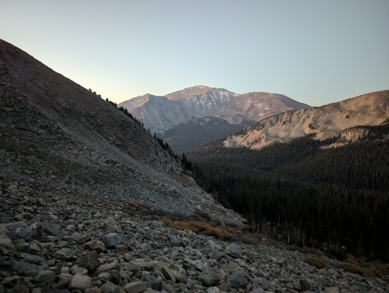

7:53 AM - Mount Columbia to Mount Harvard Class 2+ | Distance: 2.6 mi | Gain: 1,710 ft After leaving the summit of Columbia, I nearly fell over multiple times on some deceptively icy patches of snow. I made a minor routefinding error along the traverse, but still made it up to Harvard fairly efficiently. Tim was actually also doing his first summit of Harvard that morning (via the standard route), but I still somehow beat him by an hour. 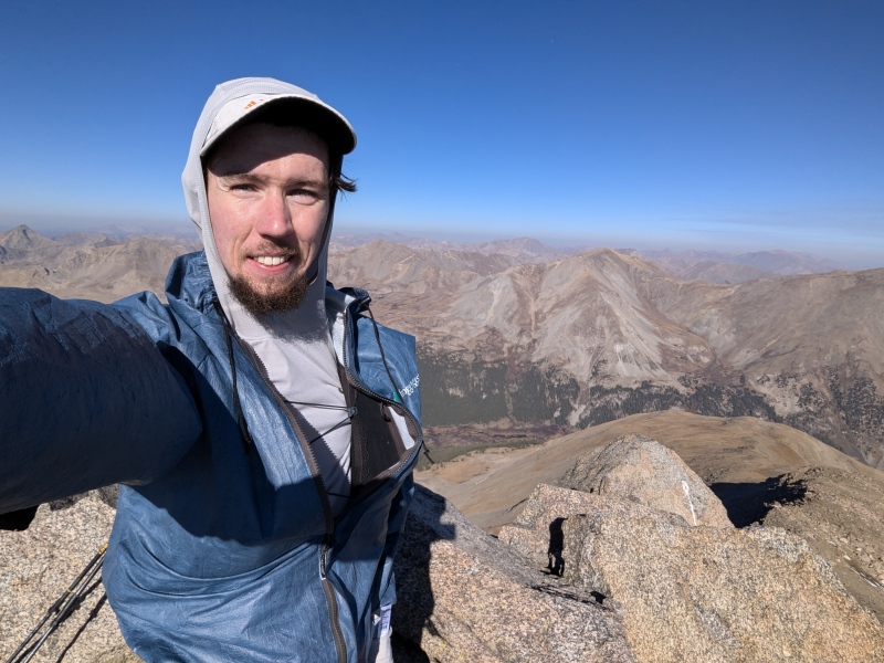
9:52 AM - Mount Harvard to Mount Oxford Class 2+ | Distance: 3.8 mi | Gain: 2,862 ft The route to Oxford is straightforward but quite tedious due to the amount of vertical drop involved. I headed down Harvard's north ridge into the forest without incident, then crossed Pine Creek on a convenient build-up of rocks and branches. I took the opportunity to refill my water, as I would soon be up high for a long time. After a short confusing bushwhack and section of game trail, it's just 2,000 vertical feet of tundra straight to the top of Oxford in under a mile. 
12:37 PM - Mount Oxford to Mount Belford Class 2 | Distance: 1.4 mi | Gain: 668 ft The traverse over to Belford always feels longer than it looks on the map, but it was nice to finally enjoy some fairly flat terrain on a nice trail. I made it up to the surprisingly empty summit without issue. 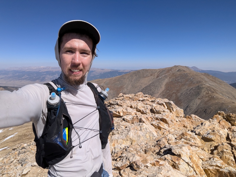
1:17 PM - Mount Belford to Missouri Mountain Class 2+ | Distance: 2.2 mi | Gain: 1,103 ft After hiking down to Elkhead Pass, I dropped down a couple hundred feet south before beginning a long contour and gradual ascent towards Missouri's south ridge. I was surprised to see another hiker right here of all places on the relatively empty mountain; he was apparently coming back from Iowa Peak. I took a slightly more aggressive ascent line compared to last time, and was surprised at how reasonable the talus and tundra slope sidehilling felt. I startled someone on the summit of Missouri who clearly wasn't expecting someone to come from that direction. 
2:32 PM - Missouri Mountain to Huron Peak Class 2+ | Distance: 4.2 mi | Gain: 3,122 ft I was a little nervous for the new descent route I was going to try off Missouri, but it ended up being perhaps the most efficient 1,500ft drop of the whole trip. It was definitely steep, loose, and a little sketchy in places, but the vast majority of this southwestern face was just wonderfully skiable scree. Reaching the bottom in 15 minutes definitely beats the long rocky trail, especially with 30,000 vertical feet of fatigue on my legs already. From this basin, I intercepted the trail down to Clohesy Lake, then started up the faint abandoned trail towards Huron. Though hard to follow, this trail brings you high quite efficiently, before you begin the unpleasant talus slope to reach Huron's upper saddle. On this upper section, I tried staying on larger semi-stable rock near the left of the gully rather than fight with steep dirt in the middle, which worked out slightly better than last time. Soon enough I was back on trail and nearing the summit, where my dad had apparently turned around hours before (I guess he got bored during my 24 hours with no support locations). 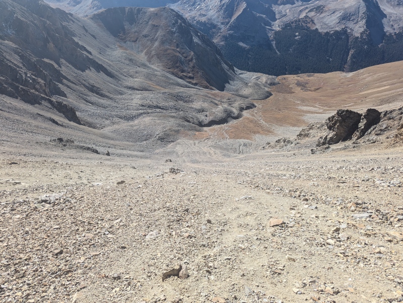
5:28 PM - Huron Peak to La Plata Peak Class 2 | Distance: 9.3 mi | Gain: 4,213 ft Reaching Huron was a huge mental relief, as I now just had one more standalone peak for the day after the brutal combination of 6 I had just finished. Now I had a beautiful trail all the way down to Huron's upper trailhead, where I could finally resupply again before heading up La Plata. I once again dropped my pack and poles and grabbed a phone/watch charger, then ran the road for a few miles while my dad drove ahead and refilled everything. Rather than go all the way down to Winfield, I took an easy shortcut across the creek to the CDT, saving nearly a mile and quite a bit of elevation. I met my dad, picked up my pack, and started walking up the road into the darkness while eating a makeshift uncooked pizza (yum). The climb up La Plata was easier than I expected, especially since I took a small shortcut that avoids the most eroded section of the unmaintained trail. The upper boulderfield is still a maze of zig-zagging cairns, but all routes lead to the summit ridge quite quickly. 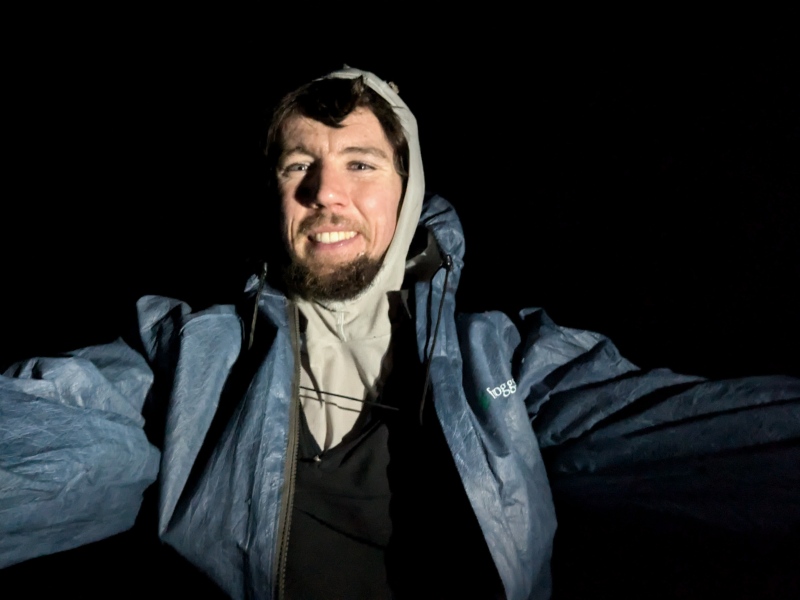
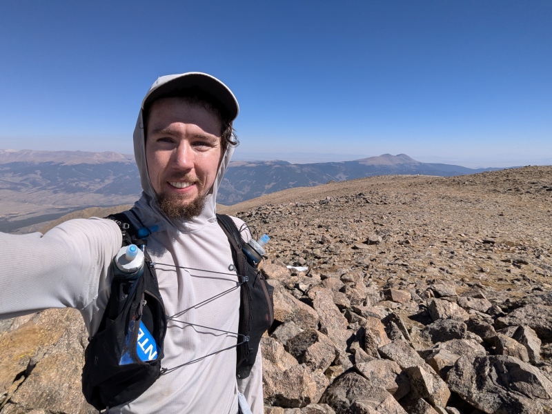
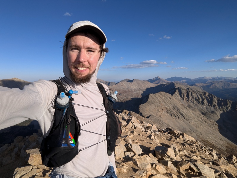
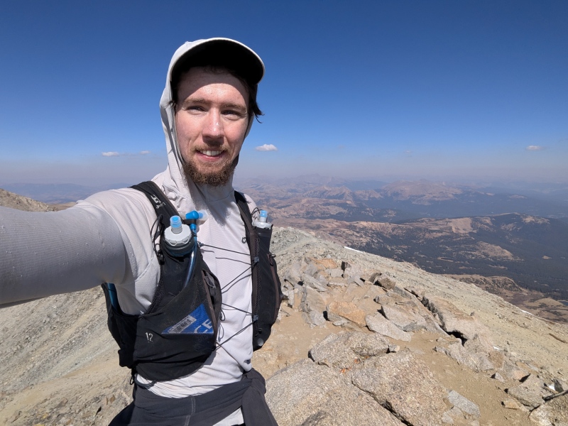
9:57 PM - La Plata Peak to Echo Canyon Trailhead Class 2 | Distance: 5.2 mi | Gain: 137 ft I was glad to finally be descending a nice trail for the rest of the night, although the north trail of La Plata just seems to descend forever before you finally reach treeline. From there, I followed the trail until taking a nice shortcut across Lake Creek directly to the main road. This ford may very well be impossible earlier in the season (I saw no way to keep my feet dry even in October), but it saves over a mile of flat trail. I ran the last mile of road to reach Echo Canyon, where I hiked up the road a short distance to where my dad had parked, arriving for the night at 12:23 AM. The car was easily at a 10+ degree tilt in a very awkward direction for sleeping in, but I didn't want to bother my dad or especially break any rules by driving a few feet to fix it. Fortunately when you're that tired, it isn't too hard to fall asleep even in such an uncomfortable position. 5:02 AM - Echo Canyon Trailhead to Mount Elbert Class 2+ | Distance: 4.9 mi | Gain: 4,599 ft I decided to wake up a little earlier this morning to prevent wasting as much time as yesterday, and since the 60-hour cutoff was starting to feel more threatening after some slower-than-expected splits on day 2. Fortunately however, my legs still felt surprisingly decent, and I made good time on the long climb up Elbert. There was again a noticeable amount of smoke in the air, but it dissipated fairly quickly contrary to the forecast, just like the day before. I took a fairly efficient line around Bull Hill to avoid excess elevation gain, and made it to the cold summit in no time. 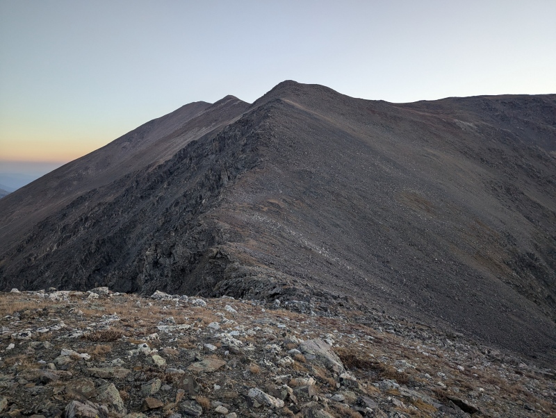
7:58 AM - Mount Elbert to Mount Massive Class 2+ | Distance: 7.4 mi | Gain: 4,045 ft I had planned to try a new route coming off Elbert directly to the west, but my legs said no. Instead, I took the familiar north ridge down to a lovely scree slope that allows relatively easy descent to South Halfmoon Creek. I ran down to the final switchback in the road before contouring across to North Halfmoon Creek, which saves a few hundred feet of elevation with minimal bushwhacking. My dad wasn't at the point on the road where I asked him to meet me, so I reluctantly ran down to the rock obstacle that I figured had stopped him. However, even at the obvious parking area below this spot, there was no car to be seen! I knew I had enough supplies to make it up and over Massive without support, but I didn't know where my dad was nor did I have any way to contact him. I texted him through my inReach on the off-chance he still had cell service, and reluctantly headed back up the road. Luckily, I soon met a group of hikers headed down the trail who I told to let my dad know the situation if they saw him. As it turns out, he was parked less than a quarter mile below me; perhaps that section of the road has gotten worse since last time I was there! Regardless, I was soon on the steep switchbacks south of Massive, reaching the top just before noon. 
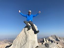
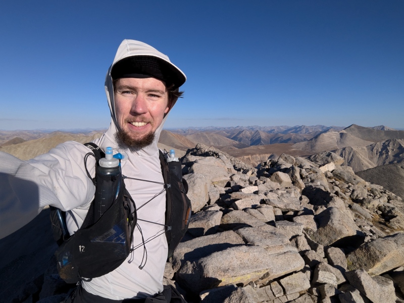
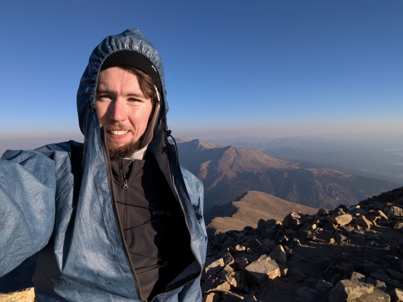
11:59 AM - Mount Massive to Leadville Fish Hatchery Class 2 | Distance: 6.4 | Gain: 73 ft Heading down Massive was where the first serious pain hit me. Sure, I had been working hard with a lot of fatigue up to that point, but this was the first time things went past soreness and towards potential injury. After making it down the upper slope onto the final stretch of trail, I took a minute to stop and roll out my quads with a trekking pole. This helped me get down to the Fish Hatchery without issue, but things were about to get a lot rougher. If I had called it quits right after getting down Massive, I probably could've gotten a good night of sleep and been back to climbing peaks for fun the next day. Instead, knowing that it was still early afternoon, and I had all the way until 6:02 AM the next morning to set an FKT, I committed to at least give Holy Nolan's a shot. But first, I rolled into the Fish Hatchery at 2:25:05 PM, for a respectable Nolan's 14 finish time of 55:55:05. I think if I came back with a bit more downhill speed, optimized routes, and less sleep, I could probably get closer to the 50 hour mark someday, but I'm certainly content with this time for now. 2:25 PM - Leadville Fish Hatchery to Mount of the Holy Cross Class 2+ | Distance: 26.0 mi | Gain: 8,228 ft The next 14 hours would encompass the vast majority of the suffering on this adventure. It started reasonably enough: after resupplying with my dad at the Fish Hatchery, I ran along a series of roads to Turquoise Lake, then along it to Timberline Lake Trailhead. It was nice for once to be moving at 12 minute mile pace rather than double or triple that, but the uphill hiking would resume far too soon. I met my dad one more time before heading up the Colorado Trail, then along a nice series of gentle animal trails to a pass just east of Galena Mountain. I dropped steeply through dense trees on the other side to Lonesome Lake Trail, where I started a long gradual descent to the bottom of the Holy Cross Jeep Road. I met my dad one final time there, and took some extra time to roll out my pulverized legs for the huge climb ahead. I felt like I could barely stand up afterwards, and now I was about to hike a vertical mile through rocky terrain in the middle of the night. In past super long efforts, I've found that once my quads get to this point it can turn into debilitating knee pain, so I was super deliberate with my form to try and offload as much work as possible to my glutes. The road and subsequent trail seemed to go on forever, but I was just glad to still be moving forward at a reasonable pace. I eventually broke off the trail and up the rocky slope to Point 13,786, which was deceptively slow and difficult. Even while literally about to fall over from exhaustion, I couldn't pass up the chance to climb a new bicentennial, and even went out of my way to re-climb centennial Holy Cross Ridge as well. Curiously, Holy Cross just so happened to be my 58th and final 14er that I had never climbed solo, so reaching the top would be an achievement in that respect too (I'm also now at 99/100 solo centennials!). I finally inched my way to the top over 13 hours since the last 14er, realizing that it was now technically Tuesday already. 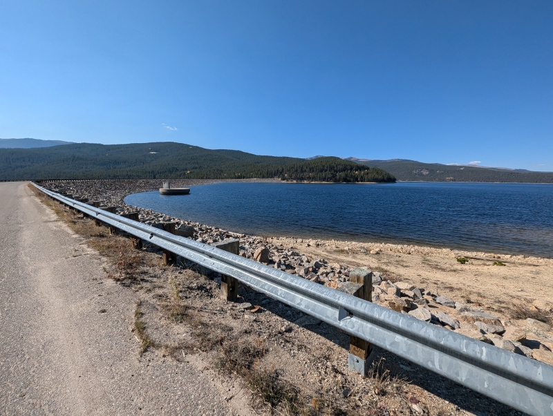

1:13 AM - Mount of the Holy Cross to Half Moon Trailhead Class 2 | Distance: 4.9 mi | Gain: 1,110 ft I had been dreading this descent all night, knowing how completely wreaked my quads were. Fortunately, the upper part wasn't quite as bad as I thought; it seemed like the intense pain only kicked in at very specific slope angles, and this was not one of them. Still, having never descended this way, the trail seemed to go on forever before reaching treeline, and now the sleep deprivation was catching up to me more than ever. I consumed probably half my calories throughout the trip in the form of Tailwind (an sugary electrolyte drink incredible for race fueling), and had switched to a caffeinated version halfway through. I don't drink caffeine in normal life, so this stuff is incredibly effective at keeping me awake. Still, I felt myself drifting off quite a few times; I had to force myself to keep eating and turn my headlamp to its brightest mode to try to stay awake. I finally got down to East Cross Creek and the start of the big climb on the way back. Though it was initially nice to break up the long downhill, this climb went on for way longer than I remembered. The last 1.5 miles down to the trailhead felt like the slowest and most painful of the entire trip; it seemed to be at just the perfect angle to irritate everything that was wrong with my legs. I finally stumbled into Half Moon Trailhead at 4:17:25 AM, just beating my goal of sub-70 and shaving a couple hours off the FKT. 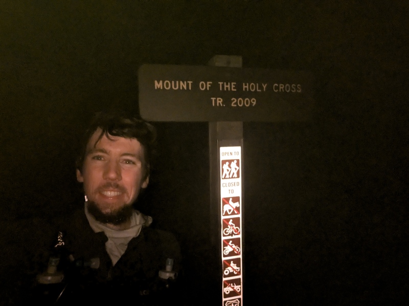
The Aftermath After limping over to the car, I quickly started shivering in my 30-degree sleeping bag, and had to add a 20-degree bag over top. My glutes and quads were so sore that it hurt to lie down in any position; it was only through sheer exhaustion that I managed a few hours of sleep. After the drive home the next morning, I was able to walk with some effort (a huge improvement from after my last 100+ mile race), but stairs were quite the obstacle. I'm feeling a lot better after a full night of sleep, and should be back out hiking in another week or so. Adding on Holy Cross made this trip go from a difficult yet fun multi-day challenge to the most physically intense sufferfest of my life. But to echo Andrew Hamilton, I don't think Holy Nolan's gets the respect it deserves. For as popular as Nolan's 14 is, adding on the 15th and final Sawatch 14er just seems like the obvious aesthetic choice, and I'm shocked so few people have even attempted it. It's an honor to break such a tough record on a fantastic route like this, and I hope plenty more people attempt it in the future. I definitely think a sub-60 Holy Nolan's is possible from the kinds of runners setting records on Nolan's 14 right now. Huge thanks to Andrew and Andrea for pioneering the records on Holy Nolan's, and to everyone else who came before me on Nolan's 14. Also thanks to everyone on the forum for their encouragement, and especially to Tim and my dad for their physical support. Statistics
Nolan's 14 finish time: 55:55:05 Full Splits
Thumbnails for uploaded photos (click to open slideshow): ")
")
")
")
")
")
")
")
")
")
")
")
")
")
")
")
")
")
")
")
")
")
")
")
")
")
|
| Comments or Questions | ||||||||||||||||||||||||
|---|---|---|---|---|---|---|---|---|---|---|---|---|---|---|---|---|---|---|---|---|---|---|---|---|
|
Caution: The information contained in this report may not be accurate and should not be the only resource used in preparation for your climb. Failure to have the necessary experience, physical conditioning, supplies or equipment can result in injury or death. 14ers.com and the author(s) of this report provide no warranties, either express or implied, that the information provided is accurate or reliable. By using the information provided, you agree to indemnify and hold harmless 14ers.com and the report author(s) with respect to any claims and demands against them, including any attorney fees and expenses. Please read the 14ers.com Safety and Disclaimer pages for more information.
Please respect private property: 14ers.com supports the rights of private landowners to determine how and by whom their land will be used. In Colorado, it is your responsibility to determine if land is private and to obtain the appropriate permission before entering the property.